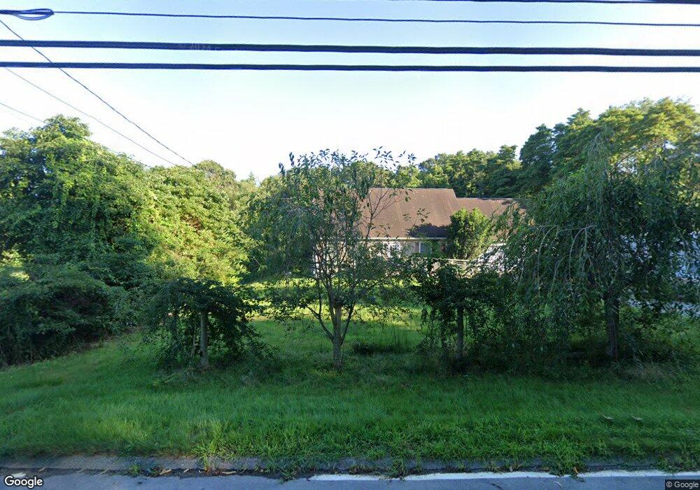
106 Sharp Hill Rd Uncasville, CT 06382
Oxoboxo River NeighborhoodEstimated Value: $379,000 - $428,000
3
Beds
3
Baths
1,568
Sq Ft
$259/Sq Ft
Est. Value
About This Home
This home is located at 106 Sharp Hill Rd, Uncasville, CT 06382 and is currently estimated at $405,876, approximately $258 per square foot. 106 Sharp Hill Rd is a home located in New London County with nearby schools including Leonard J. Tyl Middle School, Montville High School, and Bradley School-New London Regional.
Ownership History
Date
Name
Owned For
Owner Type
Purchase Details
Closed on
Jul 30, 1999
Sold by
Macneil John R and Macneil Monica R
Bought by
Missios Mike G
Current Estimated Value
Home Financials for this Owner
Home Financials are based on the most recent Mortgage that was taken out on this home.
Original Mortgage
$24,000
Interest Rate
8.13%
Create a Home Valuation Report for This Property
The Home Valuation Report is an in-depth analysis detailing your home's value as well as a comparison with similar homes in the area
Home Values in the Area
Average Home Value in this Area
Purchase History
| Date | Buyer | Sale Price | Title Company |
|---|---|---|---|
| Missios Mike G | $32,000 | -- | |
| Missios Mike G | $32,000 | -- |
Source: Public Records
Mortgage History
| Date | Status | Borrower | Loan Amount |
|---|---|---|---|
| Open | Missios Mike G | $159,000 | |
| Closed | Missios Mike G | $140,000 | |
| Closed | Missios Mike G | $24,000 | |
| Closed | Missios Mike G | $8,000 |
Source: Public Records
Tax History
| Year | Tax Paid | Tax Assessment Tax Assessment Total Assessment is a certain percentage of the fair market value that is determined by local assessors to be the total taxable value of land and additions on the property. | Land | Improvement |
|---|---|---|---|---|
| 2025 | $5,351 | $185,360 | $32,900 | $152,460 |
| 2024 | $5,147 | $185,360 | $32,900 | $152,460 |
| 2023 | $5,147 | $185,360 | $32,900 | $152,460 |
| 2022 | $4,951 | $185,360 | $32,900 | $152,460 |
| 2021 | $5,077 | $159,890 | $37,670 | $122,220 |
| 2020 | $5,177 | $159,890 | $37,670 | $122,220 |
| 2019 | $5,198 | $159,890 | $37,670 | $122,220 |
| 2018 | $5,073 | $159,890 | $37,670 | $122,220 |
| 2017 | $5,069 | $159,890 | $37,670 | $122,220 |
| 2016 | $5,114 | $167,060 | $46,690 | $120,370 |
| 2015 | $5,114 | $167,060 | $46,690 | $120,370 |
| 2014 | $4,907 | $167,060 | $46,690 | $120,370 |
Source: Public Records
Map
Nearby Homes
- 571 Old Colchester Rd
- 505 Old Colchester Rd
- 320 Maple Ave
- 0 Monahan Dr
- 76 Gay Hill Rd
- 355 Route 163
- 79 Cottonwood Ln
- 31 Bridge St
- 66 Rainbow Dr
- 25 Heather Brook Rd
- 2 Fawns Meadow Rd
- 82C Pires Dr
- 4 Pequot Rd
- 16 Greystone Dr
- 19 Moxley Rd
- 5 Blumenthal Dr
- 11 Blumenthal Dr
- 11 Mayo Ave
- 107 Woodland Dr Unit B
- 4 Brewer St
- 100 Sharp Hill Rd
- 102 Sharp Hill Rd
- 112 Sharp Hill Rd
- 98 Sharp Hill Rd
- 50 Dubois Rd
- 116 Sharp Hill Rd
- 54 Dubois Rd
- 128 Sharp Hill Rd
- 44 Dubois Rd
- 64 Dubois Rd
- 90 Sharp Hill Rd
- 20 Elton Ct
- 12 Elton Ct
- 109 Sharp Hill Rd
- 24 Elton Ct
- 47 Sharp Hill Rd
- 95 Sharp Hill Rd
- 37 Dubois Rd
- 113 Sharp Hill Rd
- 99 Sharp Hill Rd
Your Personal Tour Guide
Ask me questions while you tour the home.