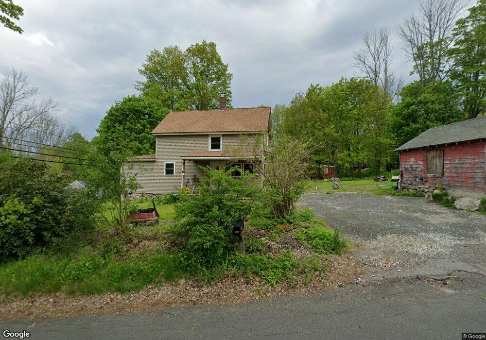
106 Upper Bogue Rd Harwinton, CT 06791
Estimated Value: $305,000 - $359,000
3
Beds
2
Baths
1,580
Sq Ft
$211/Sq Ft
Est. Value
About This Home
This home is located at 106 Upper Bogue Rd, Harwinton, CT 06791 and is currently estimated at $334,018, approximately $211 per square foot. 106 Upper Bogue Rd is a home located in Litchfield County with nearby schools including Harwinton Consolidated School, Har-Bur Middle School, and Lewis S. Mills High School.
Ownership History
Date
Name
Owned For
Owner Type
Purchase Details
Closed on
Sep 1, 2023
Sold by
Denegre Louis M
Bought by
Baker Michael W and Baker Kailey A
Current Estimated Value
Home Financials for this Owner
Home Financials are based on the most recent Mortgage that was taken out on this home.
Original Mortgage
$243,000
Outstanding Balance
$236,155
Interest Rate
5.88%
Mortgage Type
Purchase Money Mortgage
Estimated Equity
$97,863
Purchase Details
Closed on
Jul 23, 2015
Sold by
Freddie Mac
Bought by
Denegre Louis M
Purchase Details
Closed on
Apr 10, 2015
Sold by
Citimortgage Inc
Bought by
Fnma
Create a Home Valuation Report for This Property
The Home Valuation Report is an in-depth analysis detailing your home's value as well as a comparison with similar homes in the area
Home Values in the Area
Average Home Value in this Area
Purchase History
| Date | Buyer | Sale Price | Title Company |
|---|---|---|---|
| Baker Michael W | $303,750 | None Available | |
| Baker Michael W | $303,750 | None Available | |
| Denegre Louis M | $57,000 | -- | |
| Denegre Louis M | $57,000 | -- | |
| Fnma | -- | -- | |
| Citimortgage | -- | -- | |
| Citimortgage | -- | -- |
Source: Public Records
Mortgage History
| Date | Status | Borrower | Loan Amount |
|---|---|---|---|
| Open | Baker Michael W | $243,000 | |
| Closed | Baker Michael W | $243,000 | |
| Previous Owner | Citimortgage | $142,000 |
Source: Public Records
Tax History
| Year | Tax Paid | Tax Assessment Tax Assessment Total Assessment is a certain percentage of the fair market value that is determined by local assessors to be the total taxable value of land and additions on the property. | Land | Improvement |
|---|---|---|---|---|
| 2025 | $4,294 | $186,690 | $53,870 | $132,820 |
| 2024 | $4,275 | $186,690 | $53,870 | $132,820 |
| 2023 | $4,208 | $144,100 | $38,480 | $105,620 |
| 2022 | $4,107 | $144,100 | $38,480 | $105,620 |
| 2021 | $4,136 | $144,100 | $38,480 | $105,620 |
| 2020 | $4,035 | $144,100 | $38,480 | $105,620 |
| 2019 | $4,035 | $144,100 | $38,480 | $105,620 |
| 2018 | $4,025 | $143,750 | $39,490 | $104,260 |
| 2017 | $3,996 | $143,750 | $39,490 | $104,260 |
| 2016 | $3,954 | $142,220 | $39,490 | $102,730 |
| 2015 | $3,883 | $142,220 | $39,490 | $102,730 |
| 2014 | -- | $142,220 | $39,490 | $102,730 |
Source: Public Records
Map
Nearby Homes
- 68 Thomaston Rd
- 505 Harwinton Ave Unit 20
- 0 Clearview Ave Unit 24158105
- 112 Linden St
- 364 Park Ave
- 152 Davis Rd
- 71 Arthur St Unit 1
- 14 Hannah Way
- 23 Hannah Way
- 83 Birge St
- 29 Elton St
- 264 S Main St
- 67 E Litchfield Rd S
- Lot 2 Birch Hill Rd
- 151 Highview Dr
- 21 Sunrise Dr
- 185 Oak Meadow Ln
- 68 Wilson Ave Unit 103
- 68 Wilson Ave Unit 105
- 19 Harwinton Ave
- 106 Bogue Rd
- 234 Scoville Hill Rd
- 233 Scoville Hill Rd
- 238 Scoville Hill Rd
- 103 Upper Bogue Rd
- 99 Upper Bogue Rd
- 99 Bogue Rd
- 111 Lower Bogue Rd
- 111 Bogue Rd
- 239 Scoville Hill Rd
- 221 Scoville Hill Rd
- 240 Scoville Hill Rd
- 96 Upper Bogue Rd
- 11 Community Rd
- 218 Scoville Hill Rd
- 120 Lower Bogue Rd
- 119 Lower Bogue Rd
- 246 Scoville Hill Rd
- 217 Scoville Hill Rd
- 12 Community Rd
Your Personal Tour Guide
Ask me questions while you tour the home.