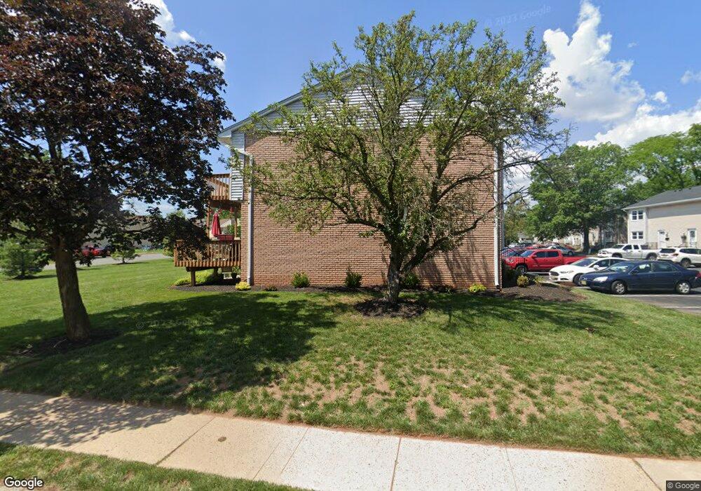
1060 Robin Rd Hillsborough, NJ 08844
Estimated Value: $413,359 - $443,000
3
Beds
3
Baths
1,572
Sq Ft
$274/Sq Ft
Est. Value
About This Home
This home is located at 1060 Robin Rd, Hillsborough, NJ 08844 and is currently estimated at $430,090, approximately $273 per square foot. 1060 Robin Rd is a home located in Somerset County with nearby schools including Hillsborough High School and Brighthorizons at Hillsborough.
Ownership History
Date
Name
Owned For
Owner Type
Purchase Details
Closed on
Dec 9, 1994
Sold by
Ge Capital Mtg
Bought by
Gnap George
Current Estimated Value
Home Financials for this Owner
Home Financials are based on the most recent Mortgage that was taken out on this home.
Original Mortgage
$58,000
Interest Rate
9.03%
Create a Home Valuation Report for This Property
The Home Valuation Report is an in-depth analysis detailing your home's value as well as a comparison with similar homes in the area
Home Values in the Area
Average Home Value in this Area
Purchase History
Date | Buyer | Sale Price | Title Company |
---|---|---|---|
Gnap George | $98,000 | -- |
Source: Public Records
Mortgage History
Date | Status | Borrower | Loan Amount |
---|---|---|---|
Closed | Gnap George | $58,000 |
Source: Public Records
Tax History Compared to Growth
Tax History
Year | Tax Paid | Tax Assessment Tax Assessment Total Assessment is a certain percentage of the fair market value that is determined by local assessors to be the total taxable value of land and additions on the property. | Land | Improvement |
---|---|---|---|---|
2024 | $7,526 | $351,200 | $160,000 | $191,200 |
2023 | $6,470 | $300,500 | $150,000 | $150,500 |
2022 | $6,063 | $271,500 | $125,000 | $146,500 |
2021 | $6,091 | $259,400 | $110,000 | $149,400 |
2020 | $6,206 | $260,300 | $110,000 | $150,300 |
2019 | $6,063 | $252,200 | $100,000 | $152,200 |
2018 | $6,050 | $250,100 | $95,000 | $155,100 |
2017 | $5,893 | $244,000 | $70,000 | $174,000 |
2016 | $5,545 | $229,700 | $70,000 | $159,700 |
2015 | $5,669 | $237,800 | $70,000 | $167,800 |
2014 | $5,571 | $238,700 | $70,000 | $168,700 |
Source: Public Records
Map
Nearby Homes
- 899 Robin Rd
- 69 Farm Rd
- 722 Robin Rd
- 504 Farm Rd
- 530 Andria Ave Unit 295
- 521 Andria Ave Unit 202
- 515 Andria Ave Unit 190
- 605 E Brookside Ln
- 34 Deanna Dr Unit 96
- 16 Deanna Dr Unit 23
- 18 Deanna Dr Unit 43
- 12 Cranbrook Ave
- 351 Doctors Way
- 23 Hughey Ln
- 44 Baker Cir
- 78 Valley Rd
- 6 Cumberland Rd
- 3 Cumberland Rd
- 74 Haverford Ct
- 17 Old Somerville Rd
- 1060 Robin Rd
- 1062 Robin Rd
- 1064 Robin Rd
- 1066 Robin Rd
- 1070 Robin Rd Unit 106
- 1002 Robin Rd
- 1004 Robin Rd
- 1006 Robin Rd
- 1008 Robin Rd Unit 402
- 1072 Robin Rd
- 1000 Robin Rd
- 1010 Robin Rd
- 1020 Robin Rd
- 1080 Robin Rd
- 1022 Robin Rd
- 1082 Robin Rd
- 1024 Robin Rd Unit 306
- 971 Robin Rd
- 1084 Robin Rd
- 973 Robin Rd