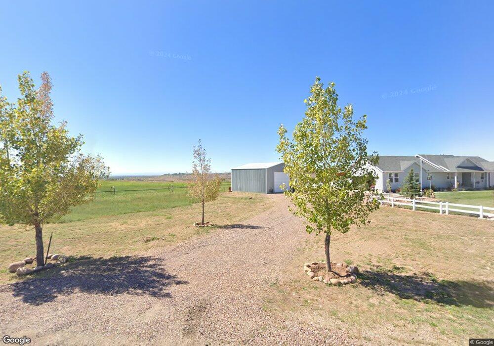
10605 N 8500 E Tridell, UT 84076
Estimated Value: $270,000 - $522,000
3
Beds
2
Baths
3,434
Sq Ft
$124/Sq Ft
Est. Value
About This Home
This home is located at 10605 N 8500 E, Tridell, UT 84076 and is currently estimated at $426,993, approximately $124 per square foot. 10605 N 8500 E is a home located in Uintah County with nearby schools including Lapoint Elementary School, Uintah Middle School, and Vernal Middle School.
Ownership History
Date
Name
Owned For
Owner Type
Purchase Details
Closed on
Jun 11, 2025
Sold by
Koller Anderson Rita
Bought by
Masters Jesse Robert
Current Estimated Value
Purchase Details
Closed on
Sep 17, 2020
Sold by
Brown Douglas M and Brown Karalee M
Bought by
Blair Mark E and Balir Madelene M
Home Financials for this Owner
Home Financials are based on the most recent Mortgage that was taken out on this home.
Original Mortgage
$75,500
Interest Rate
2.9%
Mortgage Type
New Conventional
Purchase Details
Closed on
Nov 29, 2004
Sold by
Mckee Michael J and Mckee Karen
Bought by
Mckee Michael J and Mckee Karen
Create a Home Valuation Report for This Property
The Home Valuation Report is an in-depth analysis detailing your home's value as well as a comparison with similar homes in the area
Purchase History
| Date | Buyer | Sale Price | Title Company |
|---|---|---|---|
| Masters Jesse Robert | -- | None Listed On Document | |
| Blair Mark E | -- | None Available | |
| Mckee Michael J | -- | -- |
Source: Public Records
Mortgage History
| Date | Status | Borrower | Loan Amount |
|---|---|---|---|
| Previous Owner | Blair Mark E | $75,500 |
Source: Public Records
Tax History
| Year | Tax Paid | Tax Assessment Tax Assessment Total Assessment is a certain percentage of the fair market value that is determined by local assessors to be the total taxable value of land and additions on the property. | Land | Improvement |
|---|---|---|---|---|
| 2024 | $2,177 | $220,599 | $16,441 | $204,158 |
| 2023 | $1,932 | $192,439 | $16,441 | $175,998 |
| 2022 | $1,771 | $164,971 | $15,820 | $149,151 |
| 2021 | $1,791 | $137,081 | $15,820 | $121,261 |
| 2020 | $1,701 | $133,549 | $15,820 | $117,729 |
| 2019 | $1,718 | $133,549 | $15,820 | $117,729 |
| 2018 | $1,470 | $114,590 | $15,820 | $98,770 |
| 2017 | $14 | $114,590 | $15,820 | $98,770 |
| 2016 | $1,375 | $117,645 | $15,820 | $101,825 |
| 2015 | $813 | $75,282 | $15,820 | $59,462 |
| 2014 | $5 | $482 | $482 | $0 |
| 2013 | $5 | $496 | $496 | $0 |
Source: Public Records
Map
Nearby Homes
- 9274 N 8500 E
- 6781 N 9500 E
- 0 1000 N 1500 E Unit 2129456
- 10495 7750 N
- 6196 N 8000 E
- 18906 N Canyon Rd
- 8356 N 9750 E
- 18000 N Paradise Park Rd Unit 4
- 17500 N Paradise Park Rd Unit 6
- 18250 N Paradise Park Rd Unit 3
- 17750 N Paradise Park Rd Unit 5
- 3249 N Ouray Park E
- 11103 E 7000 N
- 5072 N 11500 E
- 8075 6000 N Unit 1
- Tbd 1000 N 1500 E
- 0 Tbd 1000 N 1500 E
- 15718 N Deep Creek Rd
- 12536 E Solitude Dr
- 12885 E 15000 N &Amp; 13130 E 16000 N &Amp; 13
Your Personal Tour Guide
Ask me questions while you tour the home.