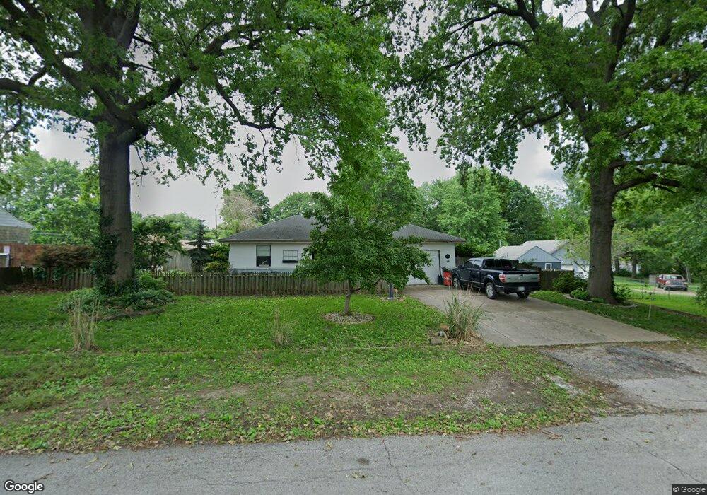
10606 E 34th St S Independence, MO 64052
Rock Creek South NeighborhoodEstimated Value: $168,020 - $176,000
2
Beds
1
Bath
832
Sq Ft
$208/Sq Ft
Est. Value
About This Home
This home is located at 10606 E 34th St S, Independence, MO 64052 and is currently estimated at $173,005, approximately $207 per square foot. 10606 E 34th St S is a home located in Jackson County with nearby schools including Three Trails Elementary School, Clifford H. Nowlin Middle School, and Van Horn High School.
Ownership History
Date
Name
Owned For
Owner Type
Purchase Details
Closed on
Jun 29, 2023
Sold by
Hutchins Carla M Avery
Bought by
Hutchins Carla M Avery and Hutchins Joseph
Current Estimated Value
Purchase Details
Closed on
Jan 24, 2007
Sold by
Avery Mike
Bought by
Hutchins Carla M Avery
Purchase Details
Closed on
Jun 20, 2002
Sold by
Hinton Mary M
Bought by
Hutchins Carla M Avery and Avery Mike
Purchase Details
Closed on
Nov 13, 1997
Sold by
Woolsey Edith H and Woolsey Reiss A
Bought by
Hinton Mary M
Home Financials for this Owner
Home Financials are based on the most recent Mortgage that was taken out on this home.
Original Mortgage
$37,628
Interest Rate
7.2%
Mortgage Type
FHA
Create a Home Valuation Report for This Property
The Home Valuation Report is an in-depth analysis detailing your home's value as well as a comparison with similar homes in the area
Home Values in the Area
Average Home Value in this Area
Purchase History
We collect this data history from publicly available records. To have your information removed, we recommend requesting removal directly through your county’s website.
| Date | Buyer | Sale Price | Title Company |
|---|---|---|---|
| Hutchins Carla M Avery | -- | None Listed On Document | |
| Hutchins Carla M Avery | -- | None Available | |
| Hutchins Carla M Avery | -- | None Available | |
| Hutchins Carla M Avery | -- | -- | |
| Hinton Mary M | -- | -- |
Source: Public Records
Mortgage History
We collect this data history from publicly available records. To have your information removed, we recommend requesting removal directly through your county’s website.
| Date | Status | Borrower | Loan Amount |
|---|---|---|---|
| Previous Owner | Hinton Mary M | $37,628 |
Source: Public Records
Tax History
| Year | Tax Paid | Tax Assessment Tax Assessment Total Assessment is a certain percentage of the fair market value that is determined by local assessors to be the total taxable value of land and additions on the property. | Land | Improvement |
|---|---|---|---|---|
| 2025 | $1,388 | $21,358 | $5,157 | $16,201 |
| 2024 | $1,354 | $19,464 | $5,596 | $13,868 |
| 2023 | $1,354 | $19,464 | $3,042 | $16,422 |
| 2022 | $1,230 | $16,150 | $5,206 | $10,944 |
| 2021 | $1,225 | $16,150 | $5,206 | $10,944 |
| 2020 | $1,252 | $16,068 | $5,206 | $10,862 |
| 2019 | $1,234 | $16,068 | $5,206 | $10,862 |
| 2018 | $1,230 | $15,559 | $2,882 | $12,677 |
| 2017 | $1,230 | $15,559 | $2,882 | $12,677 |
| 2016 | $1,227 | $15,169 | $3,131 | $12,038 |
Source: Public Records
Map
Nearby Homes
- 10601 E 33rd Terrace S
- 3216 S Hardy Ave
- 1308, 1310, 1312, 13 S Hedges Ave
- 3410 Blue Ridge Blvd
- 11120 E 35th Terrace S
- 3204 S Sterling Ave
- 11120 E 36th St S
- 3710 S Sterling Ave
- 10115 E 31st St S
- 3725 Blue Ridge Blvd
- 2519 S Claremont Ave
- 9930 E 36th St S
- 3339 S Vermont Ave
- 3207 S Vermont Ave
- 2929 S Harvard Ave
- 9621 E 33rd St S
- 9712 E 34th St S
- 3113 S Scott Ave
- 3405 S Arlington Ave
- 11313 E Sheley Rd
- 10604 E 34th St S
- 10700 E 34th St S
- 10609 E 34th St S
- 10605 E 34th St S
- 10701 E 34th St S
- 10600 E 34th St S
- 10704 E 34th St S
- 10609 E Sheley Rd
- 10705 E 34th St S
- 10601 E 34th St S
- 10701 E Sheley Rd
- 10607 E Sheley Rd
- 10508 E 34th St S
- 10708 E 34th St S
- 10715 E Sheley Rd
- 10601 E Sheley Rd
- 10515 E 34th St S
- 10709 E 34th St S
- 10604 E Sheley Rd
- 10717 E Sheley Rd
Your Personal Tour Guide
Ask me questions while you tour the home.