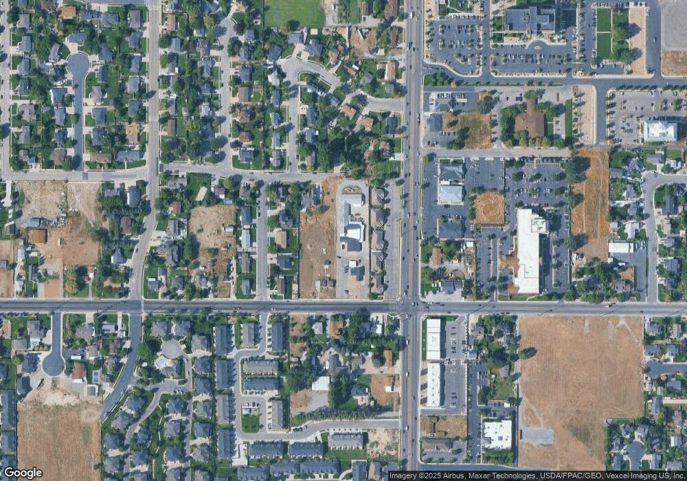
1063 E 50 S American Fork, UT 84003
1
Bed
3
Baths
2,542
Sq Ft
27,356
Sq Ft Lot
About This Home
This home is located at 1063 E 50 S, American Fork, UT 84003. 1063 E 50 S is a home located in Utah County with nearby schools including Barratt Elementary School, American Fork Junior High School, and American Fork High School.
Ownership History
Date
Name
Owned For
Owner Type
Purchase Details
Closed on
Sep 5, 2025
Sold by
Wilson Mark A
Bought by
Wilson Mark A and Wilson Leann
Purchase Details
Closed on
Dec 26, 2000
Sold by
Benson Bette Lou
Bought by
Wilson Mark A
Home Financials for this Owner
Home Financials are based on the most recent Mortgage that was taken out on this home.
Original Mortgage
$127,758
Interest Rate
7.54%
Create a Home Valuation Report for This Property
The Home Valuation Report is an in-depth analysis detailing your home's value as well as a comparison with similar homes in the area
Home Values in the Area
Average Home Value in this Area
Purchase History
| Date | Buyer | Sale Price | Title Company |
|---|---|---|---|
| Wilson Mark A | -- | None Listed On Document | |
| Wilson Mark A | -- | Equity Title Agency Inc |
Source: Public Records
Mortgage History
| Date | Status | Borrower | Loan Amount |
|---|---|---|---|
| Previous Owner | Wilson Mark A | $127,758 |
Source: Public Records
Tax History
| Year | Tax Paid | Tax Assessment Tax Assessment Total Assessment is a certain percentage of the fair market value that is determined by local assessors to be the total taxable value of land and additions on the property. | Land | Improvement |
|---|---|---|---|---|
| 2025 | $5,516 | $630,315 | -- | -- |
| 2024 | $4,933 | $612,905 | $0 | $0 |
| 2023 | $4,933 | $581,120 | $0 | $0 |
| 2022 | $4,712 | $643,000 | $417,500 | $225,500 |
| 2021 | $3,986 | $459,700 | $298,100 | $161,600 |
| 2020 | $4,109 | $459,700 | $298,100 | $161,600 |
| 2019 | $3,661 | $426,400 | $275,800 | $150,600 |
| 2018 | $3,463 | $383,900 | $251,000 | $132,900 |
| 2017 | $3,320 | $312,030 | $0 | $0 |
| 2016 | $3,573 | $312,030 | $0 | $0 |
| 2015 | $3,654 | $302,860 | $0 | $0 |
| 2014 | $3,509 | $286,875 | $0 | $0 |
Source: Public Records
Map
Nearby Homes
Your Personal Tour Guide
Ask me questions while you tour the home.