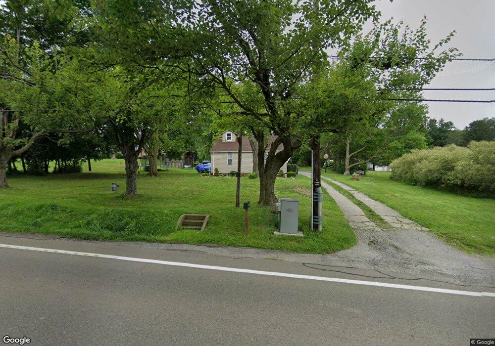
1063 State Route 7 SE Brookfield, OH 44403
Estimated Value: $129,000 - $191,000
2
Beds
1
Bath
1,569
Sq Ft
$102/Sq Ft
Est. Value
About This Home
This home is located at 1063 State Route 7 SE, Brookfield, OH 44403 and is currently estimated at $160,591, approximately $102 per square foot. 1063 State Route 7 SE is a home located in Trumbull County with nearby schools including Brookfield Elementary School, Brookfield Middle School, and Brookfield High School.
Ownership History
Date
Name
Owned For
Owner Type
Purchase Details
Closed on
Sep 13, 2001
Sold by
Branham Philip A
Bought by
Branham Ii Philip A
Current Estimated Value
Home Financials for this Owner
Home Financials are based on the most recent Mortgage that was taken out on this home.
Original Mortgage
$42,000
Outstanding Balance
$15,114
Interest Rate
7.03%
Estimated Equity
$145,477
Purchase Details
Closed on
Jan 1, 1990
Bought by
Philip A Branham
Create a Home Valuation Report for This Property
The Home Valuation Report is an in-depth analysis detailing your home's value as well as a comparison with similar homes in the area
Purchase History
| Date | Buyer | Sale Price | Title Company |
|---|---|---|---|
| Branham Ii Philip A | $60,000 | -- | |
| Philip A Branham | -- | -- |
Source: Public Records
Mortgage History
| Date | Status | Borrower | Loan Amount |
|---|---|---|---|
| Open | Branham Ii Philip A | $42,000 |
Source: Public Records
Tax History
| Year | Tax Paid | Tax Assessment Tax Assessment Total Assessment is a certain percentage of the fair market value that is determined by local assessors to be the total taxable value of land and additions on the property. | Land | Improvement |
|---|---|---|---|---|
| 2024 | $1,861 | $39,660 | $5,080 | $34,580 |
| 2023 | $1,861 | $39,660 | $5,080 | $34,580 |
| 2022 | $1,578 | $27,270 | $4,620 | $22,650 |
| 2021 | $1,481 | $27,270 | $4,620 | $22,650 |
| 2020 | $1,472 | $27,270 | $4,620 | $22,650 |
| 2019 | $1,418 | $24,500 | $4,270 | $20,230 |
| 2018 | $1,406 | $24,500 | $4,270 | $20,230 |
| 2017 | $1,404 | $24,500 | $4,270 | $20,230 |
| 2016 | $1,422 | $23,870 | $4,760 | $19,110 |
| 2015 | $1,425 | $23,870 | $4,760 | $19,110 |
| 2014 | $1,418 | $23,870 | $4,760 | $19,110 |
| 2013 | $1,477 | $25,310 | $4,760 | $20,550 |
Source: Public Records
Map
Nearby Homes
- 711 State Route 7 SE
- 1400 Thomas Hubbard Rd
- Addison Rd Unit LotWP001
- 7291 Oakwood Dr Unit B
- 0 Oakwood Dr Unit 5197641
- 0 Addison Unit 5199691
- 7766 Stewart Sharon Rd
- 7156 Chestnut Ridge Rd
- 7085 Sunnydell Dr
- 1017 Broadway St
- 7839 Locust St
- 1965 Hubbard Thomas Rd
- 7911 1st St
- 864 Valley View Dr
- 5910 Chestnut Ridge Rd
- 727 S State Line Rd
- 689 S State Line Rd
- 780 S Irvine Ave
- 766 S Irvine Ave
- 750 S Irvine Ave
- 1166 Brookfield Rd
- 1045 State Route 7 SE
- 6899 Stewart Sharon Rd
- 1035 State Route 7 SE
- 6975 Stewart Sharon Rd
- 1054 State Route 7 SE
- 1105 Brookfield Rd
- 1036 State Route 7 SE
- 1103 Brookfield Rd
- 6899 Stewart Sharon Rd
- 6978 Stewart Sharon Rd
- 1114 State Route 7 NE
- 1114 Ohio 7
- 6949 Stewart Sharon Rd
- 6891 Stewart Sharon Rd
- 6824 Stewart Sharon Rd
- 6880 Stewart Sharon Rd
- 6866 Stewart Sharon Rd
- 6852 Stewart Sharon Rd
- 6904 Stewart Sharon Rd
Your Personal Tour Guide
Ask me questions while you tour the home.