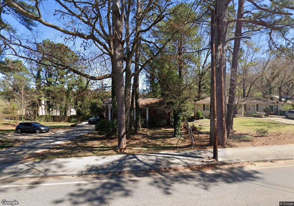
1065 Mclendon Dr Decatur, GA 30033
Estimated Value: $342,000 - $439,000
6
Beds
2
Baths
2,150
Sq Ft
$179/Sq Ft
Est. Value
About This Home
This home is located at 1065 Mclendon Dr, Decatur, GA 30033 and is currently estimated at $385,276, approximately $179 per square foot. 1065 Mclendon Dr is a home located in DeKalb County with nearby schools including McLendon Elementary School, Druid Hills Middle School, and Druid Hills High School.
Ownership History
Date
Name
Owned For
Owner Type
Purchase Details
Closed on
Jan 2, 2004
Sold by
Moore Mark C
Bought by
Brawn Stuart A
Current Estimated Value
Home Financials for this Owner
Home Financials are based on the most recent Mortgage that was taken out on this home.
Original Mortgage
$148,800
Outstanding Balance
$68,903
Interest Rate
5.87%
Mortgage Type
New Conventional
Estimated Equity
$316,373
Purchase Details
Closed on
Dec 2, 1996
Sold by
Oppenheim Margie S
Bought by
Moore Mark C
Create a Home Valuation Report for This Property
The Home Valuation Report is an in-depth analysis detailing your home's value as well as a comparison with similar homes in the area
Home Values in the Area
Average Home Value in this Area
Purchase History
| Date | Buyer | Sale Price | Title Company |
|---|---|---|---|
| Brawn Stuart A | $186,000 | -- | |
| Moore Mark C | $99,900 | -- |
Source: Public Records
Mortgage History
| Date | Status | Borrower | Loan Amount |
|---|---|---|---|
| Open | Brawn Stuart A | $148,800 | |
| Closed | Moore Mark C | $0 |
Source: Public Records
Tax History
| Year | Tax Paid | Tax Assessment Tax Assessment Total Assessment is a certain percentage of the fair market value that is determined by local assessors to be the total taxable value of land and additions on the property. | Land | Improvement |
|---|---|---|---|---|
| 2025 | $6,602 | $141,480 | $34,520 | $106,960 |
| 2024 | $6,603 | $141,440 | $34,520 | $106,920 |
| 2023 | $6,603 | $134,280 | $34,520 | $99,760 |
Source: Public Records
Map
Nearby Homes
- 1020 Verdi Way
- 1019 Greenbriar Cir
- 3045 Lindon Ln
- 1143 Creekdale Dr
- 898 Verona Dr
- 1096 De Leon Ct
- 924 Brookdale Place
- 1096 Deleon Ct
- 2071 Brian Way
- 2046 Brian Way
- 3112 Dove Way
- 1997 Brian Way
- 848 East Ave
- 948 Creekdale Dr
- 1909 Brian Way
- 1231 Sanden Ferry Dr
- 3029 Flamingo Dr
- 1262 Sparrow Ln
- 3132 North Ave
- 801 Verona Dr Unit 2
- 1067 Mclendon Dr
- 1057 Mclendon Dr
- 1062 Mclendon Dr
- 3125 Brick Ln
- 1052 Mclendon Dr
- 1046 Mclendon Dr
- 3119 Brick Ln
- 1041 Mclendon Dr
- 1040 Mclendon Dr
- 3126 Brick Ln
- 3109 Brick Ln
- 3120 Brick Ln Unit 9
- 3120 Brick Ln
- 2128 Stanley Park Dr
- 2132 Stanley Park Dr
- 2127 Stanley Park Dr
- 1032 Mclendon Dr
- 3110 Brick Ln
- 1077 Mclendon Dr
- 3145 Misty Creek Dr
Your Personal Tour Guide
Ask me questions while you tour the home.