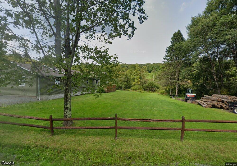
1067 Bobs Brook Rd Walton, NY 13856
Estimated Value: $424,853 - $596,000
3
Beds
2
Baths
2,104
Sq Ft
$228/Sq Ft
Est. Value
About This Home
This home is located at 1067 Bobs Brook Rd, Walton, NY 13856 and is currently estimated at $480,213, approximately $228 per square foot. 1067 Bobs Brook Rd is a home located in Delaware County with nearby schools including Townsend Elementary School, Walton High School, and Walton Middle School.
Ownership History
Date
Name
Owned For
Owner Type
Purchase Details
Closed on
Mar 13, 2008
Sold by
Loeser Ellen
Bought by
Bove Elio
Current Estimated Value
Home Financials for this Owner
Home Financials are based on the most recent Mortgage that was taken out on this home.
Original Mortgage
$175,000
Outstanding Balance
$91,698
Interest Rate
5.72%
Mortgage Type
Purchase Money Mortgage
Estimated Equity
$388,515
Purchase Details
Closed on
Sep 6, 2006
Sold by
Fratantoni Anthony M
Bought by
Loeser Ellen
Create a Home Valuation Report for This Property
The Home Valuation Report is an in-depth analysis detailing your home's value as well as a comparison with similar homes in the area
Home Values in the Area
Average Home Value in this Area
Purchase History
| Date | Buyer | Sale Price | Title Company |
|---|---|---|---|
| Bove Elio | $355,000 | Gary Grayson | |
| Loeser Ellen | $365,000 | Francis Wood |
Source: Public Records
Mortgage History
| Date | Status | Borrower | Loan Amount |
|---|---|---|---|
| Open | Bove Elio | $175,000 |
Source: Public Records
Tax History
| Year | Tax Paid | Tax Assessment Tax Assessment Total Assessment is a certain percentage of the fair market value that is determined by local assessors to be the total taxable value of land and additions on the property. | Land | Improvement |
|---|---|---|---|---|
| 2024 | $5,848 | $234,000 | $60,000 | $174,000 |
| 2023 | $5,680 | $234,000 | $60,000 | $174,000 |
| 2022 | $5,725 | $234,000 | $60,000 | $174,000 |
| 2021 | $5,610 | $234,000 | $60,000 | $174,000 |
| 2020 | $5,569 | $234,000 | $60,000 | $174,000 |
| 2019 | $5,464 | $234,000 | $60,000 | $174,000 |
| 2018 | $5,464 | $234,000 | $60,000 | $174,000 |
| 2017 | $5,376 | $234,000 | $60,000 | $174,000 |
| 2016 | $4,513 | $53,000 | $10,500 | $42,500 |
| 2015 | -- | $53,000 | $10,500 | $42,500 |
| 2014 | -- | $53,000 | $10,500 | $42,500 |
Source: Public Records
Map
Nearby Homes
- 3466 County Highway 47
- 17 Munn St
- 17 Ogden St
- 55 West St
- 12305 State Highway 206
- 1990 Finch Hollow Rd
- 147 East St
- 1657 Miller Ave
- 192 Delaware St
- 69 Liberty St
- 29 Platt St
- 79 Liberty St
- 10 Camp Ave
- 540 Lewis Rd
- 0 Bullock Hill Rd
- 8 Griswold St
- 75 Stockton Ave
- 94 Griswold St
- 58 1/2 High St
- 0 Windfall Run Rd
- 1065 Bobs Brook Rd
- 973 Bobs Brook Rd
- 956 Bobs Brook Rd
- 1024 Bobs Brook Rd
- 860 Bobs Brook Rd
- 1216 Bobs Brook Rd
- 730 Bobs Brook Rd
- 555 Bobs Brook Rd
- 550 Bobs Brook Rd
- 522 Bobs Brook Rd
- 509 Bobs Brook Rd
- 464 Bobs Brook Rd
- 477 Bobs Brook Rd
- 1679 Bobs Brook Rd
- 1355 Bobs Brook Rd
- 404 Bobs Brook Rd
- 0 Bobs Brook Rd
- 394 Bobs Brook Rd
- 354 Bobs Brook Rd
- 354 Bobs Brook Rd
Your Personal Tour Guide
Ask me questions while you tour the home.