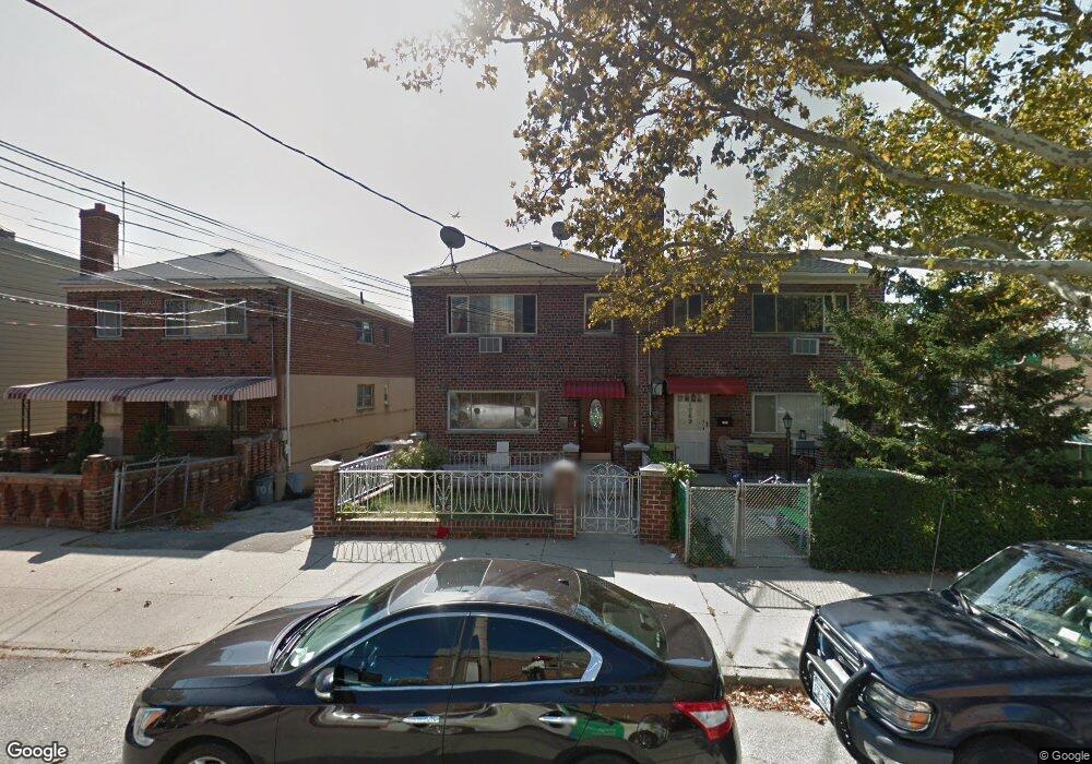
1067 Calhoun Ave Bronx, NY 10465
Throgs Neck-Edgewater Park NeighborhoodEstimated Value: $821,000 - $868,000
About This Home
This home is located at 1067 Calhoun Ave, Bronx, NY 10465 and is currently estimated at $848,900, approximately $385 per square foot. 1067 Calhoun Ave is a home located in Bronx County with nearby schools including P.S. 14 Senator John Calandra, Herbert H Lehman High School, and Grand Concourse Academy Charter School.
Ownership History
We collect this data history from publicly available records. To have your information removed, we recommend requesting removal directly through your county’s website.
Purchase Details
Home Financials for this Owner
Home Financials are based on the most recent Mortgage that was taken out on this home.Purchase Details
Purchase Details
Home Values in the Area
Average Home Value in this Area
Purchase History
We collect this data history from publicly available records. To have your information removed, we recommend requesting removal directly through your county’s website.
| Date | Buyer | Sale Price | Title Company |
|---|---|---|---|
| $472,500 | -- | ||
| -- | -- | ||
| $248,000 | Commonwealth Land Title Ins |
Mortgage History
We collect this data history from publicly available records. To have your information removed, we recommend requesting removal directly through your county’s website.
| Date | Status | Borrower | Loan Amount |
|---|---|---|---|
| Open | $5,601 | ||
| Open | $463,941 | ||
| Closed | $230,440 | ||
| Previous Owner | $45,000 | ||
| Previous Owner | $12,425 |
Tax History
We collect this data history from publicly available records. To have your information removed, we recommend requesting removal directly through your county’s website.
| Year | Tax Paid | Tax Assessment Tax Assessment Total Assessment is a certain percentage of the fair market value that is determined by local assessors to be the total taxable value of land and additions on the property. | Land | Improvement |
|---|---|---|---|---|
| 2026 | $8,628 | $45,533 | $9,998 | $35,535 |
| 2025 | $8,139 | $42,956 | $9,033 | $33,923 |
| 2024 | $8,139 | $40,525 | $9,344 | $31,181 |
| 2023 | $7,765 | $38,232 | $7,739 | $30,493 |
| 2022 | $7,632 | $50,640 | $11,040 | $39,600 |
| 2021 | $7,986 | $41,100 | $11,040 | $30,060 |
| 2020 | $7,577 | $45,420 | $11,040 | $34,380 |
| 2019 | $7,065 | $41,580 | $11,040 | $30,540 |
| 2018 | $6,495 | $31,860 | $11,040 | $20,820 |
| 2017 | $6,495 | $31,860 | $11,040 | $20,820 |
| 2016 | $6,376 | $31,896 | $10,970 | $20,926 |
| 2015 | $3,847 | $31,896 | $11,635 | $20,261 |
| 2014 | $3,847 | $31,655 | $11,547 | $20,108 |
Map
- 1039 Calhoun Ave
- 1056 Swinton Ave
- 1127 Calhoun Ave
- 1014 Quincy Ave
- 1034 Revere Ave
- 1015 Revere Ave
- 1025 Brinsmade Ave
- 2729 Gifford Ave
- 2915 Sommer Place
- 2910 Baisley Ave
- 2471 B Crotona
- 2907 Lafayette Ave
- 1162 Edison Ave
- 934 Balcom Ave
- 1238 Bradford Ave
- 1039 Throggs Neck Expy Unit SR
- 817 Quincy Ave
- 3058 Barkley Ave
- 812 Swinton Ave
- 1225 Hollywood Ave
- 1065 Calhoun Ave
- 1069 Calhoun Ave
- 1063 Calhoun Ave
- 2830 Bruckner Blvd
- 1061 Calhoun Ave
- 1062 Quincy Ave
- 2826 Bruckner Blvd
- 2850 Bruckner Blvd
- 2850 Bruckner Blvd Unit 2
- 1060 Quincy Ave
- 1055 Calhoun Ave
- 2852 Bruckner Blvd
- 1056 Quincy Ave
- 1049 Calhoun Ave
- 1060 Calhoun Ave
- 2854 Bruckner Blvd
- 1058 Calhoun Ave
- 1047 Calhoun Ave
- 1056 Calhoun Ave
- 2856 Bruckner Blvd
Ask me questions while you tour the home.