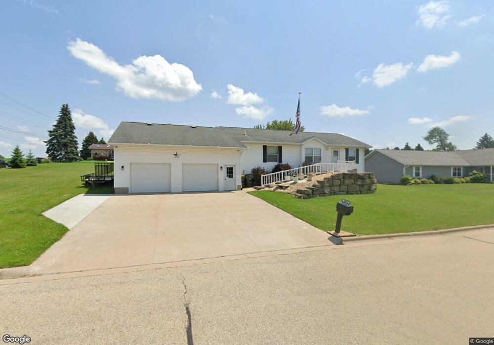
1067 Freedom Ct Lancaster, WI 53813
Lancaster AreaEstimated Value: $277,000 - $316,000
About This Home
This home is located at 1067 Freedom Ct, Lancaster, WI 53813 and is currently estimated at $288,692. 1067 Freedom Ct is a home with nearby schools including Winskill Elementary School, Lancaster Middle School, and Lancaster High School.
Ownership History
We collect this data history from publicly available records. To have your information removed, we recommend requesting removal directly through your county’s website.
Purchase Details
Home Financials for this Owner
Home Financials are based on the most recent Mortgage that was taken out on this home.Home Values in the Area
Average Home Value in this Area
Purchase History
We collect this data history from publicly available records. To have your information removed, we recommend requesting removal directly through your county’s website.
| Date | Buyer | Sale Price | Title Company |
|---|---|---|---|
| -- | -- |
Mortgage History
We collect this data history from publicly available records. To have your information removed, we recommend requesting removal directly through your county’s website.
| Date | Status | Borrower | Loan Amount |
|---|---|---|---|
| Open | $66,224 | ||
| Closed | $87,000 | ||
| Closed | $96,000 |
Tax History
We collect this data history from publicly available records. To have your information removed, we recommend requesting removal directly through your county’s website.
| Year | Tax Paid | Tax Assessment Tax Assessment Total Assessment is a certain percentage of the fair market value that is determined by local assessors to be the total taxable value of land and additions on the property. | Land | Improvement |
|---|---|---|---|---|
| 2025 | $3,904 | $241,200 | $40,300 | $200,900 |
| 2024 | $3,550 | $241,200 | $40,300 | $200,900 |
| 2023 | $3,431 | $241,200 | $40,300 | $200,900 |
| 2022 | $3,269 | $241,200 | $40,300 | $200,900 |
| 2021 | $3,221 | $170,500 | $28,000 | $142,500 |
| 2020 | $3,215 | $170,500 | $28,000 | $142,500 |
| 2019 | $3,401 | $170,500 | $2,800 | $14,250 |
| 2018 | $3,431 | $170,500 | $28,000 | $142,500 |
| 2017 | $3,272 | $170,500 | $28,000 | $142,500 |
| 2016 | $3,242 | $170,500 | $28,000 | $142,500 |
| 2015 | $3,357 | $170,500 | $28,000 | $142,500 |
| 2014 | $3,396 | $170,500 | $28,000 | $142,500 |
| 2013 | $3,407 | $170,500 | $28,000 | $142,500 |
Map
- 110 E Pine St
- 229 N Monroe St
- 206 N Adams St
- 117 N Lincoln St
- 217 W Cherry St
- 335 S Adams St
- 201 Roosevelt St
- 2.28 acres E Lincoln Ave
- 1500 S Madison St
- 631 S Tyler St
- 9397 S Mckinley St
- 445 Arbor Oaks Ln
- 229.98± Acres Whitcomb Ln
- Whitcomb Ln
- 11454 Liberty Ridge Rd
- 11454 Liberty Ridge Rd
- Cannon Rd
- 75± Acres Cannon Rd
- Lot 15 Porter Bridge Rd
- 1675 Monroe St
- 1045 Freedom Ct
- 1072 Freedom Ct
- 1058 Freedom Ct
- 1046 Valley View Dr
- 1016 Valley View Dr
- 1027 Freedom Ct
- 1036 Freedom Ct
- L15 Freedom Ct
- 1010 Valley View Dr
- 1018 Freedom Ct
- 954 Valley View Dr
- 989 Freedom Ct
- 1029 Valley View Dr
- 1043 Valley View Dr
- 1015 Valley View Dr
- 976 Freedom Ct
- 942 Valley View Dr
- 963 Valley View Dr
- 953 Freedom Ct
- 1032 Valley View Dr
Ask me questions while you tour the home.