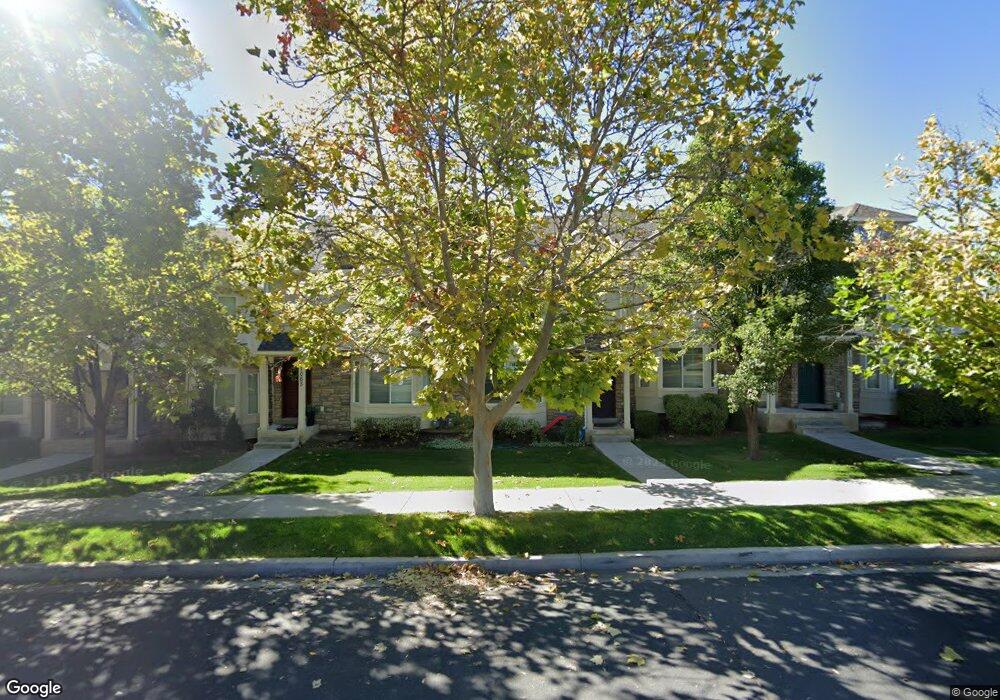
1069 Independence Ave Unit 55 Provo, UT 84604
Rivergrove NeighborhoodEstimated Value: $381,000 - $389,468
3
Beds
3
Baths
1,732
Sq Ft
$222/Sq Ft
Est. Value
About This Home
This home is located at 1069 Independence Ave Unit 55, Provo, UT 84604 and is currently estimated at $385,367, approximately $222 per square foot. 1069 Independence Ave Unit 55 is a home located in Utah County with nearby schools including Westridge Elementary School, Dixon Middle School, and Provo High School.
Ownership History
Date
Name
Owned For
Owner Type
Purchase Details
Closed on
Sep 29, 2025
Sold by
Carlson William E & Bethany N
Bought by
Cardon Rebecca and Walker David Jonah
Current Estimated Value
Home Financials for this Owner
Home Financials are based on the most recent Mortgage that was taken out on this home.
Original Mortgage
$372,480
Outstanding Balance
$372,480
Interest Rate
6.58%
Mortgage Type
New Conventional
Estimated Equity
$12,887
Purchase Details
Closed on
Jan 19, 2016
Sold by
Anderson Alan D
Bought by
Carlson William E and Carlson Bethany N
Home Financials for this Owner
Home Financials are based on the most recent Mortgage that was taken out on this home.
Original Mortgage
$168,000
Interest Rate
3.92%
Mortgage Type
New Conventional
Purchase Details
Closed on
Jun 5, 2013
Sold by
Underwood Sarah E
Bought by
Andersen Alan D
Home Financials for this Owner
Home Financials are based on the most recent Mortgage that was taken out on this home.
Original Mortgage
$158,100
Interest Rate
3.38%
Mortgage Type
New Conventional
Purchase Details
Closed on
Nov 4, 2009
Sold by
Independence Avenue Llc
Bought by
Underwood Sarah E
Home Financials for this Owner
Home Financials are based on the most recent Mortgage that was taken out on this home.
Original Mortgage
$149,500
Interest Rate
5.02%
Mortgage Type
New Conventional
Create a Home Valuation Report for This Property
The Home Valuation Report is an in-depth analysis detailing your home's value as well as a comparison with similar homes in the area
Home Values in the Area
Average Home Value in this Area
Purchase History
| Date | Buyer | Sale Price | Title Company |
|---|---|---|---|
| Cardon Rebecca | -- | Cottonwood Title | |
| Carlson William E | -- | Key Land Title | |
| Andersen Alan D | -- | Richland Title Ins Agency | |
| Underwood Sarah E | -- | First American Orem |
Source: Public Records
Mortgage History
| Date | Status | Borrower | Loan Amount |
|---|---|---|---|
| Open | Cardon Rebecca | $372,480 | |
| Previous Owner | Carlson William E | $168,000 | |
| Previous Owner | Andersen Alan D | $158,100 | |
| Previous Owner | Underwood Sarah E | $149,500 |
Source: Public Records
Tax History
| Year | Tax Paid | Tax Assessment Tax Assessment Total Assessment is a certain percentage of the fair market value that is determined by local assessors to be the total taxable value of land and additions on the property. | Land | Improvement |
|---|---|---|---|---|
| 2025 | $2,046 | $205,205 | -- | -- |
| 2024 | $2,046 | $201,355 | $0 | $0 |
| 2023 | $1,958 | $189,970 | $0 | $0 |
| 2022 | $2,020 | $197,615 | $0 | $0 |
| 2021 | $1,583 | $270,100 | $40,500 | $229,600 |
| 2020 | $1,616 | $258,500 | $33,600 | $224,900 |
| 2019 | $1,554 | $258,500 | $33,600 | $224,900 |
| 2018 | $1,393 | $235,000 | $29,000 | $206,000 |
| 2017 | $1,233 | $114,345 | $0 | $0 |
| 2016 | $1,257 | $108,625 | $0 | $0 |
| 2015 | $1,184 | $103,400 | $0 | $0 |
| 2014 | -- | $97,350 | $0 | $0 |
Source: Public Records
Map
Nearby Homes
- 986 Independence Ave
- 962 Independence Ave
- 1107 Independence Ave
- 927 Independence Ave
- 1127 Independence Ave
- 925 N 1760 W
- 1903 W 890 N
- 1234 Uinta Dr
- 1580 W 900 N
- 579 N Geneva Rd
- 1515 N 1830 W
- 1524 Merlin Dr
- 1489 Arthur Dr
- 1441 Arthur Dr
- 1415 Arthur Dr
- 1407 Arthur Dr
- 1271 N 2470 W
- 1616 N 2100 W
- 2507 W 520 N
- 1639 N 2250 W Unit 1
- 1065 Independence Ave
- 1065 Independence Ave Unit 54
- 1019 Independence Ave
- 1019 Independence Ave Unit 44
- 1061 Independence Ave
- 1061 Independence Ave Unit 53
- 1057 Independence Ave
- 1057 Independence Ave Unit 52
- 1073 Independence Ave
- 1073 Independence Ave Unit 56
- 1053 Independence Ave
- 1053 Independence Ave Unit 51
- 1077 Independence Ave
- 1077 Independence Ave Unit 57
- 1041 Independence Ave
- 1041 Independence Ave Unit 50
- 1059 N 1880 W
- 1059 N 1880 W Unit 42
- 1037 Independence Ave
- 1037 Independence Ave Unit 49
Your Personal Tour Guide
Ask me questions while you tour the home.