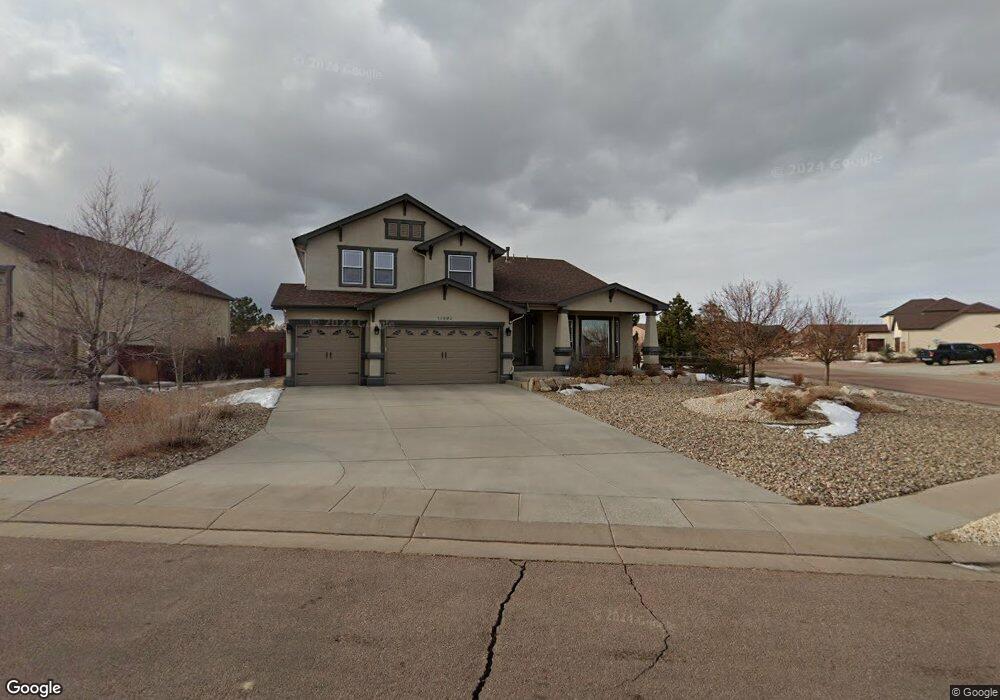
10690 Pictured Rocks Dr Peyton, CO 80831
Falcon NeighborhoodEstimated Value: $691,000 - $793,000
About This Home
This home is located at 10690 Pictured Rocks Dr, Peyton, CO 80831 and is currently estimated at $727,403, approximately $155 per square foot. 10690 Pictured Rocks Dr is a home located in El Paso County with nearby schools including Meridian Ranch Elementary School, Falcon Middle School, and Falcon High School.
Ownership History
We collect this data history from publicly available records. To have your information removed, we recommend requesting removal directly through your county’s website.
Purchase Details
Home Financials for this Owner
Home Financials are based on the most recent Mortgage that was taken out on this home.Purchase Details
Home Financials for this Owner
Home Financials are based on the most recent Mortgage that was taken out on this home.Home Values in the Area
Average Home Value in this Area
Purchase History
We collect this data history from publicly available records. To have your information removed, we recommend requesting removal directly through your county’s website.
| Date | Buyer | Sale Price | Title Company |
|---|---|---|---|
| $434,000 | Stewart Title | ||
| $386,300 | Land Title Guarantee Company |
Mortgage History
We collect this data history from publicly available records. To have your information removed, we recommend requesting removal directly through your county’s website.
| Date | Status | Borrower | Loan Amount |
|---|---|---|---|
| Open | $412,300 | ||
| Previous Owner | $309,026 |
Tax History
We collect this data history from publicly available records. To have your information removed, we recommend requesting removal directly through your county’s website.
| Year | Tax Paid | Tax Assessment Tax Assessment Total Assessment is a certain percentage of the fair market value that is determined by local assessors to be the total taxable value of land and additions on the property. | Land | Improvement |
|---|---|---|---|---|
| 2026 | $4,564 | $47,100 | -- | -- |
| 2025 | $4,531 | $47,100 | -- | -- |
| 2024 | $4,395 | $47,880 | $9,000 | $38,880 |
| 2022 | $3,685 | $36,510 | $7,390 | $29,120 |
| 2021 | $3,818 | $37,550 | $7,600 | $29,950 |
| 2020 | $3,709 | $33,820 | $6,890 | $26,930 |
| 2019 | $3,688 | $33,820 | $6,890 | $26,930 |
| 2018 | $3,671 | $33,320 | $6,300 | $27,020 |
| 2017 | $3,472 | $33,320 | $6,300 | $27,020 |
| 2016 | $3,357 | $32,990 | $6,970 | $26,020 |
| 2015 | $3,359 | $32,990 | $6,970 | $26,020 |
| 2014 | $3,091 | $29,990 | $5,970 | $24,020 |
Map
- 11058 Glen Canyon Dr
- 10610 Pictured Rocks Dr
- 10813 White Sands Ct
- 10560 Cedar Breaks Dr
- 10467 Pictured Rocks Dr
- 10489 Cedar Breaks Dr
- 10635 Ross Lake Dr
- 10862 Torreys Peak Way
- 10619 Ross Lake Dr
- 10603 Ross Lake Dr
- 10843 Torreys Peak Way
- 10429 Cedar Breaks Dr
- 10932 Huron Peak Place
- 10977 Mount Evans Dr
- 11854 Black Hills Dr
- 12231 Sleeping Bear Rd
- 10342 Biscayne Dr
- 11824 Black Hills Dr
- 11342 Mount Gateway Dr
- 10803 Checo Way
- 10851 Glen Canyon Dr
- 10835 Glen Canyon Dr
- 10867 Glen Canyon Dr
- 10856 Klondike Dr
- 10840 Klondike Dr
- 10872 Klondike Dr
- 10850 Glen Canyon Dr
- 10819 Glen Canyon Dr
- 10899 Glen Canyon Dr
- 10824 Klondike Dr
- 10691 Pictured Rocks Dr
- 10855 Klondike Dr
- 10931 Glen Canyon Dr
- 10882 Glen Canyon Dr
- 10803 Glen Canyon Dr
- 10871 Klondike Dr
- 10674 Pictured Rocks Dr
- 10808 Klondike Dr
- 10823 Klondike Dr
- 10675 Pictured Rocks Dr
Ask me questions while you tour the home.