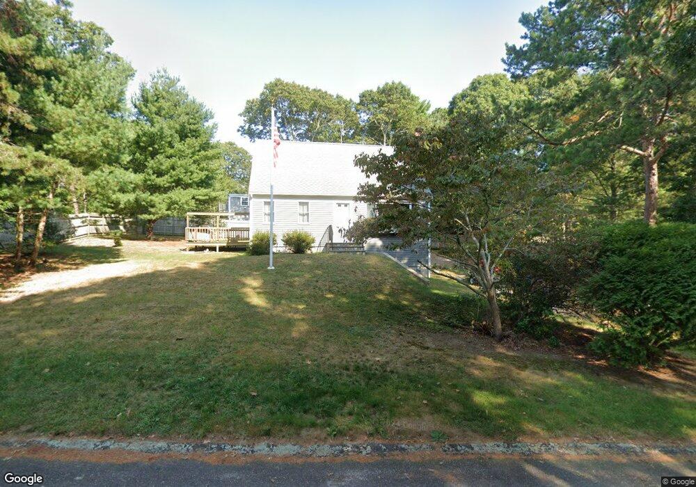
107 Ensign Rd Centerville, MA 02632
Centerville NeighborhoodEstimated Value: $475,000 - $619,000
About This Home
This home is located at 107 Ensign Rd, Centerville, MA 02632 and is currently estimated at $557,515, approximately $464 per square foot. 107 Ensign Rd is a home located in Barnstable County with nearby schools including West Villages Elementary School, Barnstable United Elementary School, and Barnstable Intermediate School.
Ownership History
We collect this data history from publicly available records. To have your information removed, we recommend requesting removal directly through your county’s website.
Purchase Details
Purchase Details
Purchase Details
Home Values in the Area
Average Home Value in this Area
Purchase History
We collect this data history from publicly available records. To have your information removed, we recommend requesting removal directly through your county’s website.
| Date | Buyer | Sale Price | Title Company |
|---|---|---|---|
| $99,000 | -- | ||
| $139,158 | -- | ||
| $134,900 | -- |
Mortgage History
We collect this data history from publicly available records. To have your information removed, we recommend requesting removal directly through your county’s website.
| Date | Status | Borrower | Loan Amount |
|---|---|---|---|
| Open | $50,000 | ||
| Open | $110,000 | ||
| Closed | $120,000 | ||
| Closed | $45,000 | ||
| Closed | $105,000 | ||
| Closed | $50,000 | ||
| Closed | $100,500 | ||
| Closed | $96,000 | ||
| Closed | $45,000 |
Tax History
We collect this data history from publicly available records. To have your information removed, we recommend requesting removal directly through your county’s website.
| Year | Tax Paid | Tax Assessment Tax Assessment Total Assessment is a certain percentage of the fair market value that is determined by local assessors to be the total taxable value of land and additions on the property. | Land | Improvement |
|---|---|---|---|---|
| 2025 | $3,844 | $475,200 | $152,600 | $322,600 |
| 2024 | $3,575 | $457,800 | $152,600 | $305,200 |
| 2023 | $3,414 | $409,300 | $138,700 | $270,600 |
| 2022 | $3,205 | $332,500 | $102,700 | $229,800 |
| 2021 | $3,132 | $298,600 | $102,700 | $195,900 |
| 2020 | $3,186 | $290,700 | $102,700 | $188,000 |
| 2019 | $3,038 | $269,300 | $102,700 | $166,600 |
| 2018 | $2,838 | $252,900 | $108,200 | $144,700 |
| 2017 | $2,647 | $246,000 | $108,200 | $137,800 |
| 2016 | $2,690 | $246,800 | $109,000 | $137,800 |
| 2015 | $2,601 | $239,700 | $105,700 | $134,000 |
Map
- 55 Seth Goodspeed Way
- 53 Hadrada Ln
- 17 Hadrada Ln
- 6 Nathans Way
- 20 Shannon Way
- 105 Taramac Rd
- 295 Westwind Cir
- 179 Sheaffer Rd
- 169 Cedric Rd
- 48 Bridgets Path
- 302 Ames Way
- 114 King Arthur Dr
- 114 King Arthur Dr
- 536 Skunknet Rd
- 8 Brigantine Ave
- 562 Skunknet Rd
- 7 Bonnie Briar Rd
- 175 Hickory Hill Cir
- 17 Galleon Way
- 1020 Old Falmouth Rd
Ask me questions while you tour the home.