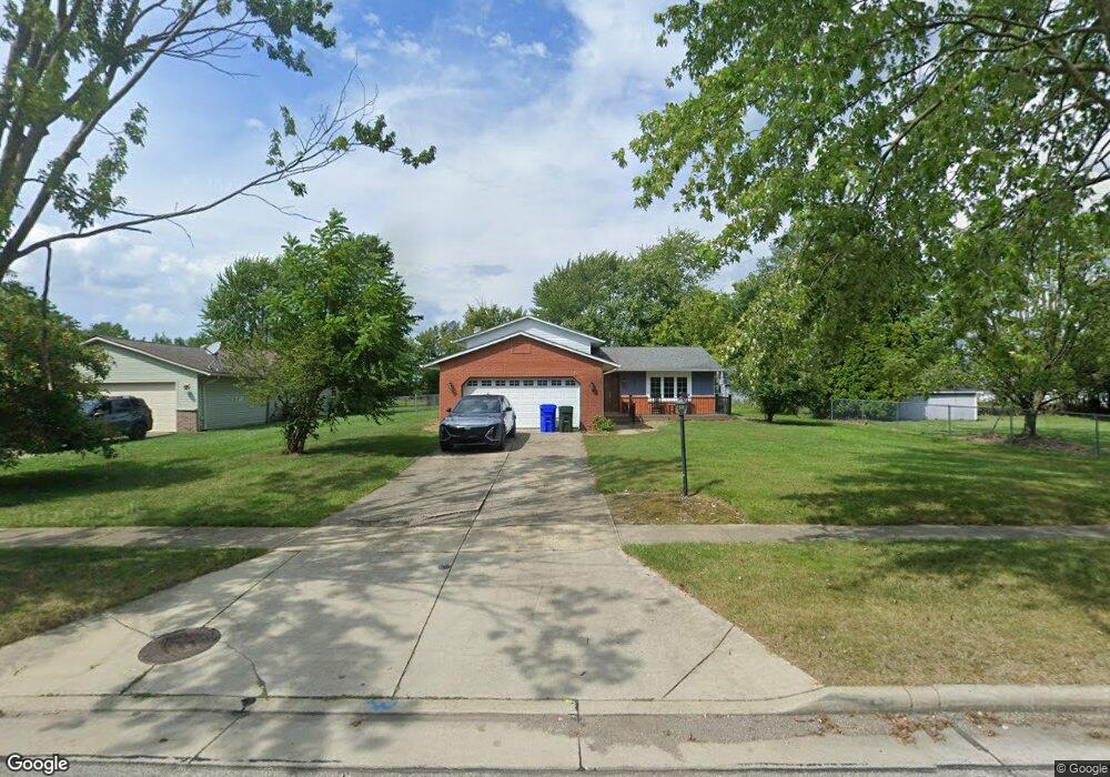
107 Loperwood Ln Lagrange, OH 44050
Estimated Value: $268,000 - $281,000
About This Home
This home is located at 107 Loperwood Ln, Lagrange, OH 44050 and is currently estimated at $274,918, approximately $156 per square foot. 107 Loperwood Ln is a home located in Lorain County with nearby schools including Keystone Elementary School, Keystone Middle School, and Keystone High School.
Ownership History
We collect this data history from publicly available records. To have your information removed, we recommend requesting removal directly through your county’s website.
Purchase Details
Home Financials for this Owner
Home Financials are based on the most recent Mortgage that was taken out on this home.Home Values in the Area
Average Home Value in this Area
Purchase History
We collect this data history from publicly available records. To have your information removed, we recommend requesting removal directly through your county’s website.
| Date | Buyer | Sale Price | Title Company |
|---|---|---|---|
| $119,000 | -- |
Mortgage History
We collect this data history from publicly available records. To have your information removed, we recommend requesting removal directly through your county’s website.
| Date | Status | Borrower | Loan Amount |
|---|---|---|---|
| Open | $118,456 |
Tax History
We collect this data history from publicly available records. To have your information removed, we recommend requesting removal directly through your county’s website.
| Year | Tax Paid | Tax Assessment Tax Assessment Total Assessment is a certain percentage of the fair market value that is determined by local assessors to be the total taxable value of land and additions on the property. | Land | Improvement |
|---|---|---|---|---|
| 2024 | $3,529 | $83,262 | $12,401 | $70,861 |
| 2023 | $2,564 | $50,526 | $10,770 | $39,757 |
| 2022 | $2,547 | $50,526 | $10,770 | $39,757 |
| 2021 | $2,548 | $50,526 | $10,770 | $39,757 |
| 2020 | $2,488 | $43,970 | $9,370 | $34,600 |
| 2019 | $2,474 | $43,970 | $9,370 | $34,600 |
| 2018 | $2,174 | $43,970 | $9,370 | $34,600 |
| 2017 | $1,960 | $33,780 | $7,790 | $25,990 |
| 2016 | $1,946 | $33,780 | $7,790 | $25,990 |
| 2015 | $1,944 | $33,780 | $7,790 | $25,990 |
| 2014 | $1,715 | $33,780 | $7,790 | $25,990 |
| 2013 | $1,664 | $33,780 | $7,790 | $25,990 |
Map
- 422 N Center St
- 516 Appomattox Ct
- 548 William St
- 336 Granger Dr
- 700 Hayes St
- 608 Rundle St
- 604 Rundle St
- 147 Granger Dr
- 811 Robinson Dr
- 808 Buckingham Dr
- 800 Buckingham Dr
- 110 Railroad St
- 0 Whitehead Rd
- 15494 Wheeler Rd
- 18022 State Route 301
- 40260 Whitney Rd
- 17342 Indian Hollow Rd
- 17404 Vermont St
- 40175 Banks Rd
- 40163 Banks Rd
- 111 Loperwood Ln
- 529 N Center St
- 533 N Center St
- 115 Loperwood Ln
- 535 N Center St
- 527 N Center St
- 108 Loperwood Ln
- 112 Loperwood Ln
- 122 Harvest Ct
- 122 Harvest Ct Unit 1
- 543 N Center St
- 119 Loperwood Ln
- 124 Harvest Ct
- 525 N Center St
- 126 Harvest Ct
- 128 Harvest Ct
- 123 Loperwood Ln
- 120 Loperwood Ln
- 0 Harvest Ct
- 130 Harvest Ct
Ask me questions while you tour the home.