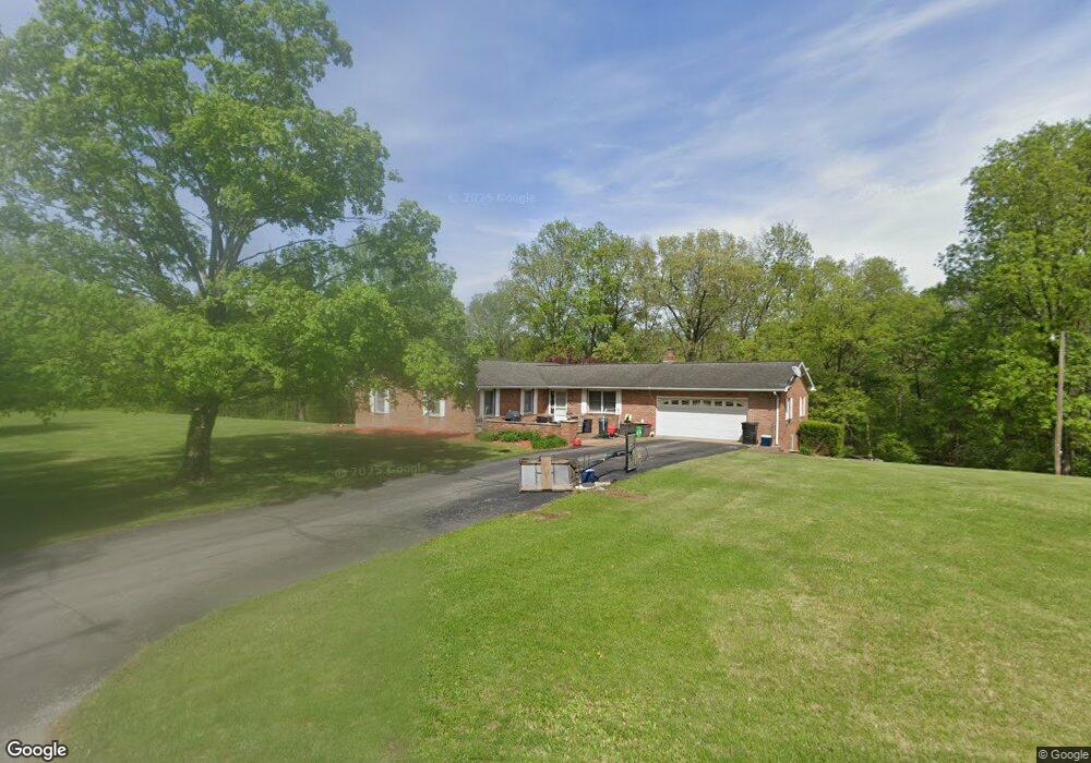
107 Maple St Vienna, IL 62995
Estimated Value: $119,000 - $305,000
3
Beds
3
Baths
2,907
Sq Ft
$79/Sq Ft
Est. Value
About This Home
This home is located at 107 Maple St, Vienna, IL 62995 and is currently estimated at $228,819, approximately $78 per square foot. 107 Maple St is a home located in Johnson County with nearby schools including Vienna Grade School and Vienna High School.
Ownership History
Date
Name
Owned For
Owner Type
Purchase Details
Closed on
May 22, 2008
Sold by
Hodges James O and Hodges Linda Sue
Bought by
Hensley Frederick D and Hensley Lorylee
Current Estimated Value
Home Financials for this Owner
Home Financials are based on the most recent Mortgage that was taken out on this home.
Original Mortgage
$160,000
Outstanding Balance
$102,014
Interest Rate
6.01%
Estimated Equity
$126,805
Create a Home Valuation Report for This Property
The Home Valuation Report is an in-depth analysis detailing your home's value as well as a comparison with similar homes in the area
Purchase History
We collect this data history from publicly available records. To have your information removed, we recommend requesting removal directly through your county’s website.
| Date | Buyer | Sale Price | Title Company |
|---|---|---|---|
| Hensley Frederick D | -- | -- |
Source: Public Records
Mortgage History
We collect this data history from publicly available records. To have your information removed, we recommend requesting removal directly through your county’s website.
| Date | Status | Borrower | Loan Amount |
|---|---|---|---|
| Open | Hensley Frederick D | $160,000 |
Source: Public Records
Tax History
| Year | Tax Paid | Tax Assessment Tax Assessment Total Assessment is a certain percentage of the fair market value that is determined by local assessors to be the total taxable value of land and additions on the property. | Land | Improvement |
|---|---|---|---|---|
| 2024 | $5,228 | $62,463 | $10,864 | $51,599 |
| 2023 | $5,045 | $57,495 | $10,000 | $47,495 |
| 2022 | $5,093 | $57,495 | $10,000 | $47,495 |
| 2021 | $4,994 | $57,495 | $10,000 | $47,495 |
| 2020 | $4,682 | $55,486 | $10,000 | $45,486 |
| 2019 | $4,837 | $55,486 | $10,000 | $45,486 |
| 2018 | $4,824 | $55,486 | $10,000 | $45,486 |
| 2017 | $4,806 | $55,486 | $10,000 | $45,486 |
| 2016 | $5,465 | $62,246 | $7,333 | $54,913 |
| 2015 | $5,476 | $62,246 | $7,333 | $54,913 |
| 2014 | $5,301 | $62,246 | $7,333 | $54,913 |
| 2013 | $5,185 | $62,246 | $7,333 | $54,913 |
| 2012 | $511 | $67,107 | $0 | $0 |
Source: Public Records
Map
Nearby Homes
- Missey Ln
- 901 Locust St
- 0 Old Metropolis Rd
- 521 E Vine St
- 201 W Main St
- 601 N 6th St
- TBD N 6th St
- 900 Old Route 146 Loop
- TBD Senior Ave
- 109 Illini Ct
- 000 5th St
- 000 Galeener St
- TBD Galeener St
- 400 Walker Dr
- 000 Illinois 147
- 1645 Indian Point Rd
- 1230 Us Hwy 45 N Hwy
- 390 Hensley Hills Dr
- 65 Magnolia Ln
- 0000 Joyce Ln
- 200 Harnerville Loop
- 103 Maple St
- 105 Maple St
- 202 Harnerville Loop
- 102 Oak St
- 101 Maple St
- 204 Harnerville Loop
- 206 Harnerville Loop
- 233 Harnerville Loop
- 100 Oak St
- 219 Harnerville Loop
- 201 Harnerville Loop
- 500 S 1st St
- 213 Pleasant Acres Rd
- 400 S 1st St
- 211 Harnerville Loop
- 512 S 1st St
- 121 Harnerville Loop
- 200 Pleasant
- 102 Apple St
Your Personal Tour Guide
Ask me questions while you tour the home.