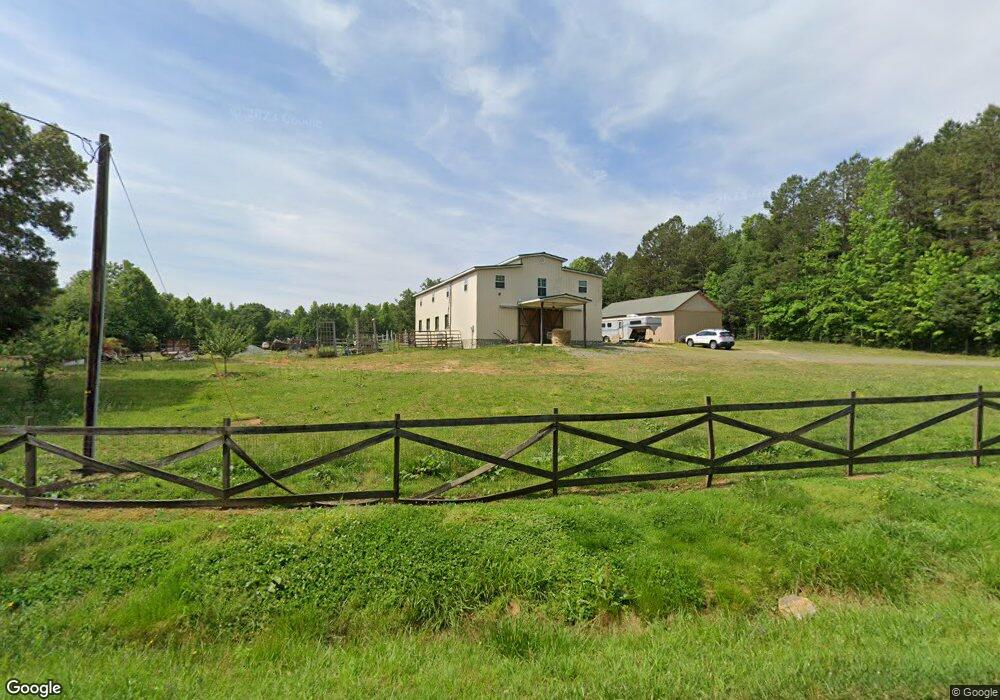
1070 Tysinger Rd Denton, NC 27239
Estimated Value: $298,753 - $342,000
Studio
--
Bath
5,244
Sq Ft
$62/Sq Ft
Est. Value
About This Home
This home is located at 1070 Tysinger Rd, Denton, NC 27239 and is currently estimated at $327,584, approximately $62 per square foot. 1070 Tysinger Rd is a home located in Davidson County with nearby schools including Denton Elementary School and South Davidson Middle and High School.
Ownership History
Date
Name
Owned For
Owner Type
Purchase Details
Closed on
Apr 17, 2008
Sold by
Culleton Harvey W and Culleton Tanda L
Bought by
Doss Terry C and Doss Liane G
Current Estimated Value
Purchase Details
Closed on
Mar 12, 2007
Sold by
Loflin Christie W and Loflin Cliff Hoyt
Bought by
Culleton Harvey W and Culleton Tanda L
Home Financials for this Owner
Home Financials are based on the most recent Mortgage that was taken out on this home.
Original Mortgage
$52,036
Interest Rate
6.27%
Mortgage Type
Purchase Money Mortgage
Purchase Details
Closed on
Sep 6, 2006
Sold by
Hall Tamara H and Hall Tracy
Bought by
Loflin Christie W
Purchase Details
Closed on
Oct 1, 1976
Create a Home Valuation Report for This Property
The Home Valuation Report is an in-depth analysis detailing your home's value as well as a comparison with similar homes in the area
Purchase History
| Date | Buyer | Sale Price | Title Company |
|---|---|---|---|
| Doss Terry C | $60,000 | None Available | |
| Culleton Harvey W | $55,000 | None Available | |
| Loflin Christie W | -- | None Available | |
| -- | $7,000 | -- |
Source: Public Records
Mortgage History
| Date | Status | Borrower | Loan Amount |
|---|---|---|---|
| Previous Owner | Culleton Harvey W | $52,036 |
Source: Public Records
Tax History
| Year | Tax Paid | Tax Assessment Tax Assessment Total Assessment is a certain percentage of the fair market value that is determined by local assessors to be the total taxable value of land and additions on the property. | Land | Improvement |
|---|---|---|---|---|
| 2025 | $1,141 | $172,950 | $0 | $0 |
| 2024 | $1,107 | $172,950 | $0 | $0 |
| 2023 | $1,124 | $172,950 | $0 | $0 |
| 2022 | $1,107 | $172,950 | $0 | $0 |
| 2021 | $1,107 | $172,950 | $0 | $0 |
| 2020 | $1,048 | $163,650 | $0 | $0 |
| 2019 | $1,064 | $163,650 | $0 | $0 |
| 2018 | $1,064 | $163,650 | $0 | $0 |
| 2017 | $1,064 | $163,650 | $0 | $0 |
| 2016 | $1,064 | $163,650 | $0 | $0 |
| 2015 | $728 | $78,290 | $0 | $0 |
| 2014 | $467 | $71,850 | $0 | $0 |
Source: Public Records
Map
Nearby Homes
- 0 Nc Highway 47
- 1726 Garner Rd
- 12056 E Old Us Highway 64
- 2511 Cid Rd
- 0 Clara Hill Ln
- 308 Clara Hill Ln
- 1165 Canaan Church Rd
- 367 Wedgewood Dr
- 809 N Nance Rd
- 242 Sturdivant Rd
- 392 Cove Wood Dr
- 2410 Summerville Church Rd
- 560 N Main St
- 177 Cove Wood Dr
- 146 Cove Wood Dr
- 271 N Main St
- 00 New Cut Rd
- 148 Garner St
- 952 Flat Swamp Rd
- 108 N Bingham St
- 1011 Tysinger Rd
- 965 Tysinger Rd
- 1135 Tysinger Rd
- 1143 Tysinger Rd
- 000 Emmons Mine Rd
- 3556 Regan Rd
- 0 Tysinger Rd Unit 881599
- 0 Tysinger Rd Unit 1069397
- 149 Emmons Mine Rd
- 3560 Regan Rd
- 3540 Regan Rd
- 0000 Emmons Mine Rd
- 00 Emmons Mine Rd
- 151 Emmons Mine Rd
- 727 Tysinger Rd
- 230 Emmons Mine Rd
- 3558 Regan Rd
- 3760 Regan Rd
- 00 Tysinger Rd
- 3812 Regan Rd
Your Personal Tour Guide
Ask me questions while you tour the home.