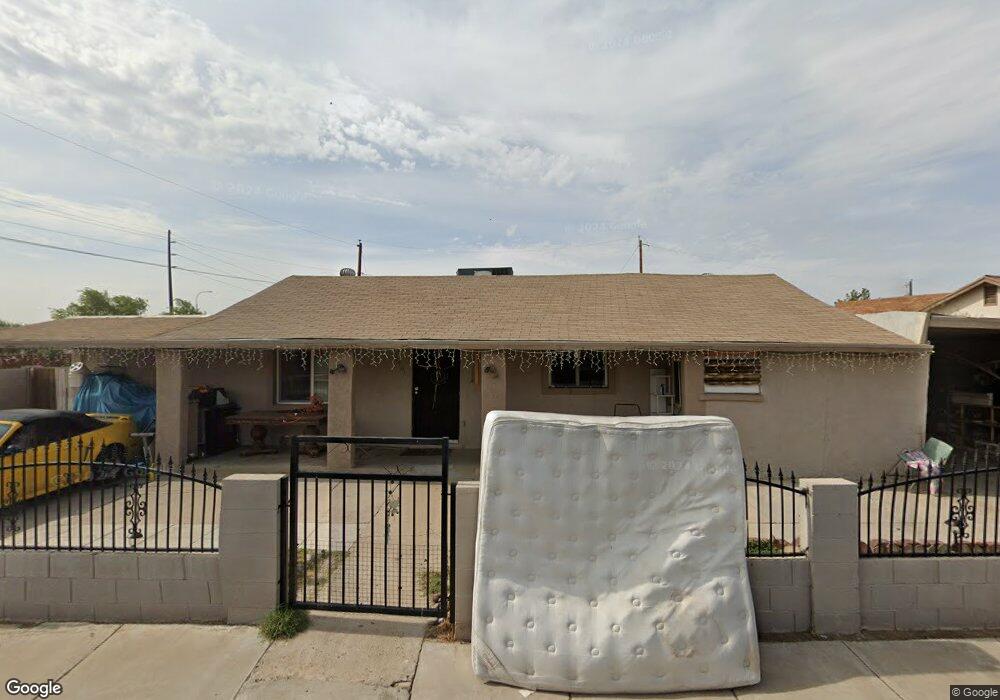
10701 W Apache St Tolleson, AZ 85353
Avondale Gateway NeighborhoodEstimated Value: $285,667 - $334,000
2
Beds
2
Baths
1,709
Sq Ft
$185/Sq Ft
Est. Value
About This Home
This home is located at 10701 W Apache St, Tolleson, AZ 85353 and is currently estimated at $316,167, approximately $185 per square foot. 10701 W Apache St is a home located in Maricopa County with nearby schools including Quentin Elementary School, La Joya Community High School, and Academies of Math and Science Avondale.
Ownership History
Date
Name
Owned For
Owner Type
Purchase Details
Closed on
Feb 10, 2009
Sold by
Jauregui Patricia
Bought by
Ramirez Baltazar C
Current Estimated Value
Purchase Details
Closed on
Aug 14, 2008
Sold by
Enriquez Frances
Bought by
The Bank Of New York
Purchase Details
Closed on
Feb 28, 2007
Sold by
Enriquez Victor E
Bought by
Enriquez Frances
Purchase Details
Closed on
Aug 10, 1995
Sold by
Perez Joe R
Bought by
Perez Frances
Create a Home Valuation Report for This Property
The Home Valuation Report is an in-depth analysis detailing your home's value as well as a comparison with similar homes in the area
Home Values in the Area
Average Home Value in this Area
Purchase History
| Date | Buyer | Sale Price | Title Company |
|---|---|---|---|
| Ramirez Baltazar C | -- | First American Title Ins Co | |
| Ramirez Baltazar C | $25,000 | First American Title Ins Co | |
| The Bank Of New York | $108,587 | First American Title | |
| Enriquez Frances | -- | Fidelity National Title | |
| Enriquez Frances | -- | Fidelity National Title | |
| Perez Frances | -- | -- |
Source: Public Records
Tax History
| Year | Tax Paid | Tax Assessment Tax Assessment Total Assessment is a certain percentage of the fair market value that is determined by local assessors to be the total taxable value of land and additions on the property. | Land | Improvement |
|---|---|---|---|---|
| 2025 | $901 | $6,980 | -- | -- |
| 2024 | $822 | $6,648 | -- | -- |
| 2023 | $822 | $26,010 | $5,200 | $20,810 |
| 2022 | $819 | $18,270 | $3,650 | $14,620 |
| 2021 | $792 | $16,780 | $3,350 | $13,430 |
| 2020 | $762 | $15,220 | $3,040 | $12,180 |
| 2019 | $761 | $14,250 | $2,850 | $11,400 |
| 2018 | $695 | $11,600 | $2,320 | $9,280 |
| 2017 | $645 | $9,170 | $1,830 | $7,340 |
| 2016 | $604 | $8,220 | $1,640 | $6,580 |
| 2015 | $595 | $6,200 | $1,240 | $4,960 |
Source: Public Records
Map
Nearby Homes
- 10634 W Pomo St
- 10815 W Apache St
- 10527 W Papago St
- 1313 S 107th Dr
- 10918 W Durango St
- 10814 W Flanagan St
- 10529 W Hilton Ave
- 10894 W Davis Ln
- 10762 W Joblanca Rd
- 10910 W Davis Ln
- 10415 W Chickasaw St
- 10331 W Pima St
- 10961 W Chase Ln
- 10536 W Magnolia St
- 10766 W Del Rio Ln
- 10809 W Rio Vista Ln
- 1218 S Jean Elizabeth Place
- 10423 W Hughes Dr
- 10432 W Magnolia St
- 10768 W Kinderman Dr
- 10701 W Apache St
- 10711 W Apache St
- 10701 W Hopi St
- 10702 W Hopi St
- 10719 W Apache St
- 10702 W Apache St
- 10708 W Apache St
- 10702 W Apache St
- 10708 W Hopi St
- 10714 W Apache St
- 10725 W Apache St
- 10720 W Apache St
- 1804 S 106th Ln
- 10641 W Nez Perce St
- 1808 S 106th Ln
- 1632 S 106th Ln
- 10726 W Apache St
- 1812 S 106th Ln
- 10731 W Apache St
- 10731 W Apache St Unit 44
Your Personal Tour Guide
Ask me questions while you tour the home.