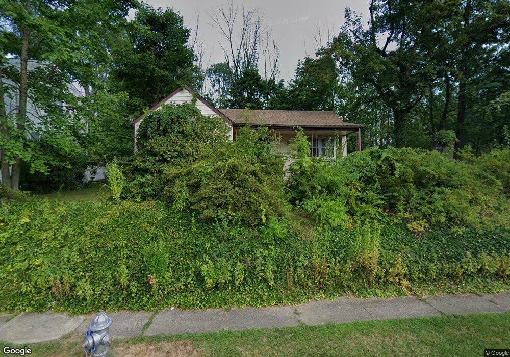
1071 Maple Ave Glenside, PA 19038
Estimated Value: $310,000 - $372,000
2
Beds
1
Bath
1,038
Sq Ft
$326/Sq Ft
Est. Value
About This Home
This home is located at 1071 Maple Ave, Glenside, PA 19038 and is currently estimated at $338,875, approximately $326 per square foot. 1071 Maple Ave is a home located in Montgomery County with nearby schools including Roslyn School, Abington Middle School, and Abington Senior High School.
Ownership History
Date
Name
Owned For
Owner Type
Purchase Details
Closed on
Nov 8, 2006
Sold by
Slater Melissa A and Slater Raymond E
Bought by
Slater Raymond E
Current Estimated Value
Home Financials for this Owner
Home Financials are based on the most recent Mortgage that was taken out on this home.
Original Mortgage
$100,000
Outstanding Balance
$59,648
Interest Rate
6.36%
Estimated Equity
$279,227
Purchase Details
Closed on
Sep 29, 1995
Sold by
Brandenburger William C and Brandenburger Ruth A
Bought by
Slater Raymond E and Slater Melissa A
Create a Home Valuation Report for This Property
The Home Valuation Report is an in-depth analysis detailing your home's value as well as a comparison with similar homes in the area
Home Values in the Area
Average Home Value in this Area
Purchase History
| Date | Buyer | Sale Price | Title Company |
|---|---|---|---|
| Slater Raymond E | -- | None Available | |
| Slater Raymond E | $102,000 | -- |
Source: Public Records
Mortgage History
| Date | Status | Borrower | Loan Amount |
|---|---|---|---|
| Open | Slater Raymond E | $100,000 |
Source: Public Records
Tax History
| Year | Tax Paid | Tax Assessment Tax Assessment Total Assessment is a certain percentage of the fair market value that is determined by local assessors to be the total taxable value of land and additions on the property. | Land | Improvement |
|---|---|---|---|---|
| 2025 | $4,431 | $95,670 | $47,410 | $48,260 |
| 2024 | $4,431 | $95,670 | $47,410 | $48,260 |
| 2023 | $4,246 | $95,670 | $47,410 | $48,260 |
| 2022 | $4,110 | $95,670 | $47,410 | $48,260 |
| 2021 | $3,888 | $95,670 | $47,410 | $48,260 |
| 2020 | $3,833 | $95,670 | $47,410 | $48,260 |
| 2019 | $3,833 | $95,670 | $47,410 | $48,260 |
Source: Public Records
Map
Nearby Homes
- 2806 Anzac Ave
- 2832 Jefferson Ave
- 1141 Boone Ave
- 1017 Garfield Ave
- 2972 Madison Ave
- 1223 Boone Ave
- 851 Maple Ave
- 910 Garfield Ave
- 401 Woodside Cir Unit 31
- 3110 Ori Place
- 2751 Kruger Rd
- 2965 Grisdale Rd
- 2473 Susquehanna Rd
- 762 Garfield Ave
- 747 Tennis Ave
- 1362 Partridge Rd
- 2866 Joyce Rd
- 2538 Woodland Rd
- 868 Tyson Ave
- 874 Edge Hill Rd
Your Personal Tour Guide
Ask me questions while you tour the home.