1071 Normandy Trace Rd Tampa, FL 33602
Harbour Island NeighborhoodEstimated Value: $345,584 - $413,000
1
Bed
1
Bath
815
Sq Ft
$453/Sq Ft
Est. Value
About This Home
This home is located at 1071 Normandy Trace Rd, Tampa, FL 33602 and is currently estimated at $369,146, approximately $452 per square foot. 1071 Normandy Trace Rd is a home located in Hillsborough County with nearby schools including Gorrie Elementary School, Wilson Middle School, and Plant High School.
Ownership History
Date
Name
Owned For
Owner Type
Purchase Details
Closed on
Feb 28, 2019
Sold by
St Clair Jessica L and Martin Jessica L
Bought by
Olson Alyssa
Current Estimated Value
Home Financials for this Owner
Home Financials are based on the most recent Mortgage that was taken out on this home.
Original Mortgage
$206,400
Outstanding Balance
$167,535
Interest Rate
4.4%
Mortgage Type
Unknown
Estimated Equity
$201,611
Purchase Details
Closed on
Oct 11, 2001
Sold by
Harbour Place Dev
Bought by
Martin Jessica L
Home Financials for this Owner
Home Financials are based on the most recent Mortgage that was taken out on this home.
Original Mortgage
$104,600
Interest Rate
6.87%
Mortgage Type
New Conventional
Create a Home Valuation Report for This Property
The Home Valuation Report is an in-depth analysis detailing your home's value as well as a comparison with similar homes in the area
Home Values in the Area
Average Home Value in this Area
Purchase History
We collect this data history from publicly available records. To have your information removed, we recommend requesting removal directly through your county’s website.
| Date | Buyer | Sale Price | Title Company |
|---|---|---|---|
| Olson Alyssa | $258,500 | Southern Ttl Svcs Of Tampa B | |
| Martin Jessica L | $130,800 | -- |
Source: Public Records
Mortgage History
We collect this data history from publicly available records. To have your information removed, we recommend requesting removal directly through your county’s website.
| Date | Status | Borrower | Loan Amount |
|---|---|---|---|
| Open | Olson Alyssa | $206,400 | |
| Previous Owner | Martin Jessica L | $104,600 |
Source: Public Records
Tax History
| Year | Tax Paid | Tax Assessment Tax Assessment Total Assessment is a certain percentage of the fair market value that is determined by local assessors to be the total taxable value of land and additions on the property. | Land | Improvement |
|---|---|---|---|---|
| 2025 | $3,271 | $220,934 | -- | -- |
| 2024 | $3,271 | $214,707 | -- | -- |
| 2023 | $3,177 | $208,453 | $0 | $0 |
| 2022 | $3,080 | $202,382 | $0 | $0 |
| 2021 | $3,034 | $196,487 | $0 | $0 |
| 2020 | $3,003 | $193,774 | $100 | $193,674 |
| 2019 | $3,346 | $189,908 | $100 | $189,808 |
| 2018 | $3,171 | $184,518 | $0 | $0 |
| 2017 | $2,952 | $161,579 | $0 | $0 |
| 2016 | $2,641 | $117,930 | $0 | $0 |
| 2015 | $2,407 | $107,209 | $0 | $0 |
| 2014 | $2,188 | $97,463 | $0 | $0 |
| 2013 | -- | $88,603 | $0 | $0 |
Source: Public Records
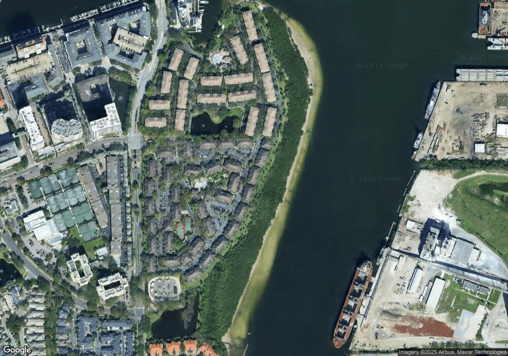
Map
Nearby Homes
- 1037 Normandy Trace Rd
- 756 Coral Reef Dr
- 1022 Normandy Trace Rd
- 625 Tropical Breeze Way
- 609 Tropical Breeze Way Unit 609
- 775 Mainsail Dr Unit 775
- 943 Normandy Trace Rd
- 605 Island Place Way
- 913 Normandy Trace Rd
- 501 Knights Run Ave Unit 4107
- 501 Knights Run Ave Unit 1332
- 501 Knights Run Ave Unit 1310
- 501 Knights Run Ave Unit 6103
- 501 Knights Run Ave Unit 2304
- 501 Knights Run Ave Unit 2106
- 501 Knights Run Ave Unit 1215
- 501 Knights Run Ave Unit 5102
- 501 Knights Run Ave Unit 2307
- 501 Knights Run Ave Unit 6101
- 501 Knights Run Ave Unit 1234
- 1075 Normandy Trace Rd
- 1077 Normandy Trace Rd Unit 1077
- 1077 Normandy Trace Rd
- 1073 Normandy Trace Rd
- 1067 Normandy Trace Rd
- 1079 Normandy Trace Rd Unit 1079
- 1079 Normandy Trace Rd
- 1069 Normandy Trace Rd
- 1069 Normandy Trace Rd Unit 1069
- 1065 Normandy Trace Rd
- 1049 Normandy Trace Rd
- 1049 Normandy Trace Rd
- 1049 Normandy Trace Rd Unit 1049
- 1057 Normandy Trace Rd
- 1055 Normandy Trace Rd
- 1055 Normandy Trace Rd Unit 1055
- 1053 Normandy Trace Rd
- 1061 Normandy Trace Rd Unit 1061
- 1061 Normandy Trace Rd
- 1059 Normandy Trace Rd
Your Personal Tour Guide
Ask me questions while you tour the home.