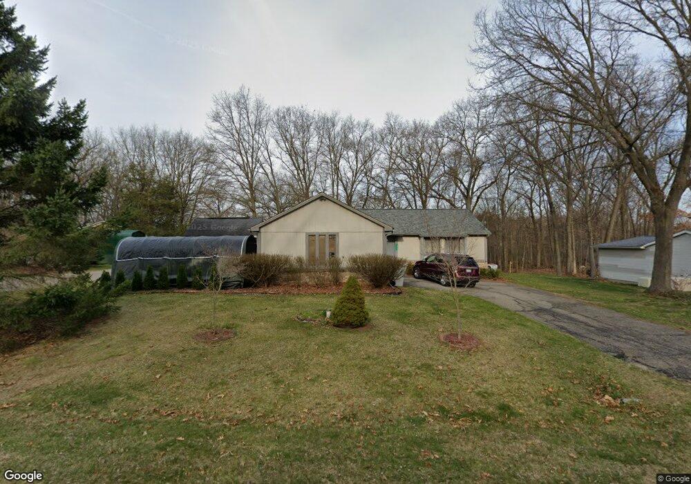
10736 Michael Blvd Pinckney, MI 48169
Estimated Value: $325,000 - $429,000
About This Home
This home is located at 10736 Michael Blvd, Pinckney, MI 48169 and is currently estimated at $379,775, approximately $251 per square foot. 10736 Michael Blvd is a home located in Livingston County with nearby schools including Country Elementary School, Navigator School, and Pathfinder School.
Ownership History
We collect this data history from publicly available records. To have your information removed, we recommend requesting removal directly through your county’s website.
Purchase Details
Home Financials for this Owner
Home Financials are based on the most recent Mortgage that was taken out on this home.Home Values in the Area
Average Home Value in this Area
Purchase History
We collect this data history from publicly available records. To have your information removed, we recommend requesting removal directly through your county’s website.
| Date | Buyer | Sale Price | Title Company |
|---|---|---|---|
| $196,000 | -- |
Mortgage History
We collect this data history from publicly available records. To have your information removed, we recommend requesting removal directly through your county’s website.
| Date | Status | Borrower | Loan Amount |
|---|---|---|---|
| Previous Owner | $186,760 |
Tax History
We collect this data history from publicly available records. To have your information removed, we recommend requesting removal directly through your county’s website.
| Year | Tax Paid | Tax Assessment Tax Assessment Total Assessment is a certain percentage of the fair market value that is determined by local assessors to be the total taxable value of land and additions on the property. | Land | Improvement |
|---|---|---|---|---|
| 2025 | $990 | $173,900 | $0 | $0 |
| 2024 | $961 | $167,420 | $0 | $0 |
| 2023 | $917 | $153,190 | $0 | $0 |
| 2022 | $1,775 | $123,060 | $0 | $0 |
| 2021 | $2,570 | $123,060 | $0 | $0 |
| 2020 | $2,534 | $122,430 | $0 | $0 |
| 2019 | $2,512 | $117,330 | $0 | $0 |
| 2018 | $2,481 | $101,720 | $0 | $0 |
| 2017 | $2,375 | $101,720 | $0 | $0 |
| 2016 | $2,303 | $94,490 | $0 | $0 |
| 2014 | $1,870 | $86,040 | $0 | $0 |
| 2012 | $1,870 | $78,770 | $0 | $0 |
Map
- 2705 Melvin Rd
- 10928 Sunny Ridge Ct
- 10353 Mcgregor Rd
- 3332 Shawnee Trail
- 3483 Windwheel Point Dr
- 3364 Habitat Trail Unit 15
- 2500 Whispering Pines Dr
- 3590 Habitat Trail Unit 25
- 2005 N Splitstone Unit 47
- 11243 Wynns Rd
- 11637 Algonquin Dr
- 9270 Anacapa Bay Dr
- 9298 Anacapa Bay Dr
- 0 Mcgregor Rd Unit 20261037023
- 3450 Hooker Rd
- 4461 Cordley Lake Rd
- 8511 2nd St
- 9904 Portage Lake Ave
- 2456 Spartans Trail Unit 84
- 9847 Portage Lake Ave
- 10716 Michael Blvd
- 2848 Macomb St
- 2886 Macomb St
- 2835 Macomb St
- 2915 Macomb St
- 10686 Michael Blvd
- 2822 Macomb St
- 2912 Macomb St
- 2923 Macomb St
- 10685 Michael Blvd
- 10673 Home Shore Dr
- 10666 Michael Blvd
- 2935 Macomb St
- 10701 Home Shore Dr
- 10665 Michael Blvd
- 10729 Home Shore Dr Unit 19
- 2924 Harding St
- 2934 Macomb St
- 2947 Macomb St
- 10499 Michael Blvd
Ask me questions while you tour the home.