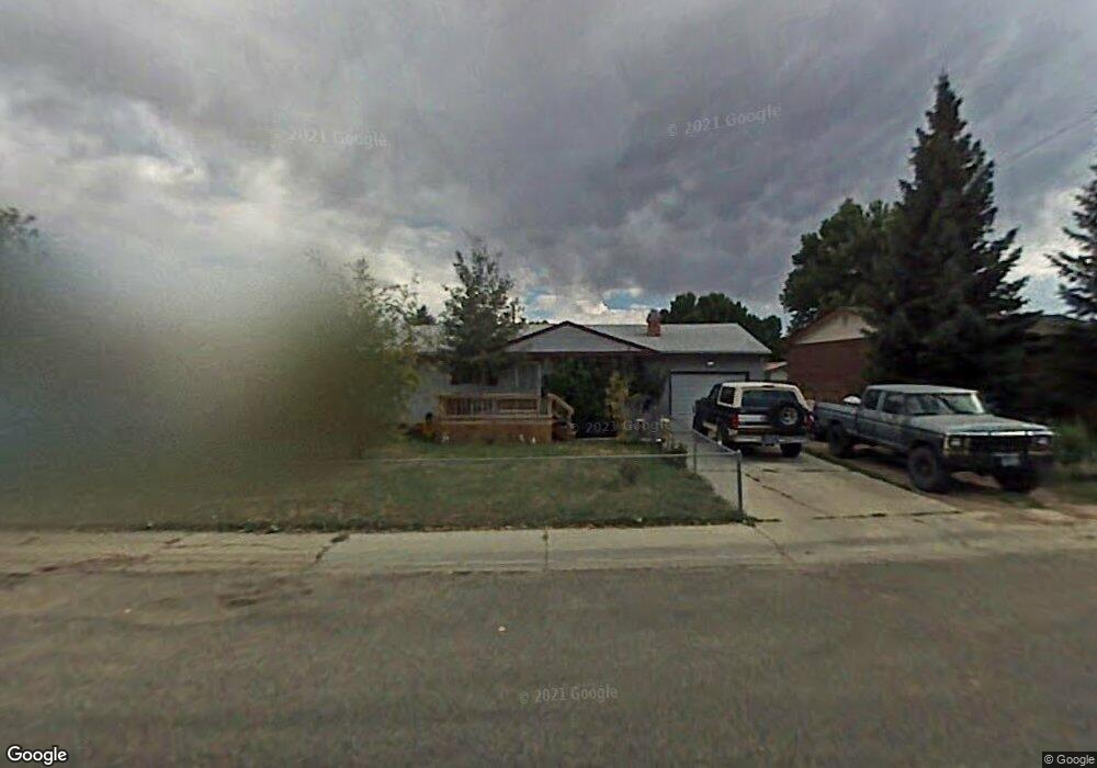
1075 Mcdougall Dr Lander, WY 82520
Estimated Value: $315,609 - $346,000
About This Home
This home is located at 1075 Mcdougall Dr, Lander, WY 82520 and is currently estimated at $326,402, approximately $357 per square foot. 1075 Mcdougall Dr is a home located in Fremont County with nearby schools including Lander Valley High School, Lander Christian Academy, and Elevation Academy.
Ownership History
We collect this data history from publicly available records. To have your information removed, we recommend requesting removal directly through your county’s website.
Purchase Details
Home Financials for this Owner
Home Financials are based on the most recent Mortgage that was taken out on this home.Purchase Details
Home Financials for this Owner
Home Financials are based on the most recent Mortgage that was taken out on this home.Home Values in the Area
Average Home Value in this Area
Purchase History
We collect this data history from publicly available records. To have your information removed, we recommend requesting removal directly through your county’s website.
| Date | Buyer | Sale Price | Title Company |
|---|---|---|---|
| -- | None Listed On Document | ||
| -- | First American Title Ins Co |
Mortgage History
We collect this data history from publicly available records. To have your information removed, we recommend requesting removal directly through your county’s website.
| Date | Status | Borrower | Loan Amount |
|---|---|---|---|
| Closed | $362,000 | ||
| Closed | $38,628 | ||
| Closed | $128,000 | ||
| Closed | $125,262 |
Tax History
We collect this data history from publicly available records. To have your information removed, we recommend requesting removal directly through your county’s website.
| Year | Tax Paid | Tax Assessment Tax Assessment Total Assessment is a certain percentage of the fair market value that is determined by local assessors to be the total taxable value of land and additions on the property. | Land | Improvement |
|---|---|---|---|---|
| 2026 | $1,478 | $23,966 | $5,117 | $18,849 |
| 2025 | $1,873 | $18,706 | $3,837 | $14,869 |
| 2024 | $1,873 | $24,272 | $5,117 | $19,155 |
| 2023 | $1,791 | $23,385 | $4,959 | $18,426 |
| 2022 | $1,499 | $20,011 | $4,959 | $15,052 |
| 2021 | $1,349 | $17,429 | $4,822 | $12,607 |
| 2020 | $1,303 | $16,860 | $4,822 | $12,038 |
| 2019 | $1,465 | $18,662 | $4,806 | $13,856 |
| 2018 | $1,457 | $18,358 | $4,806 | $13,552 |
| 2017 | $1,392 | $17,495 | $4,806 | $12,689 |
| 2016 | $1,393 | $17,533 | $4,806 | $12,727 |
| 2015 | $1,338 | $17,031 | $4,806 | $12,225 |
| 2014 | $1,157 | $14,757 | $4,806 | $9,951 |
Map
- 1105 Mcdougall Dr
- 1020 Mcdougall Dr
- 935 Cliff St
- 975 Dabich Ave
- 960 Dabich Ave
- 770 Shoshone St
- 915 Black Blvd
- 839 S 6th St
- 1185 Goodrich Dr
- 574 W Brodie St
- 485 S 5th St
- 900 Lincoln St
- 1285 Goodrich Dr
- 930 Lincoln St
- 920 Lincoln St
- 910 Lincoln St
- 255 N 9th St
- 617 Main St Unit LotWP001
- 1345 Goodrich Dr
- 340 Shoshone St
- 1015 Cliff St
- 1005 Cliff St
- 1025 Cliff St
- 990 Cascade St
- 995 Cliff St
- 1035 Cliff St
- 1035 Cliff St Unit S. 9th St
- 1000 Cascade St
- 980 Cascade St
- 980 Cascade St Unit Vance Drive
- 1020 Cliff St
- 985 Cliff St
- 1030 Cliff St
- 1010 Cliff St
- 1010 Cliff St Unit S. 9th St.
- 1010 Cascade St
- 1040 Cliff St
- 1045 Cliff St
- 1045 Cliff St Unit McDougall
- 990 Cliff St
Ask me questions while you tour the home.