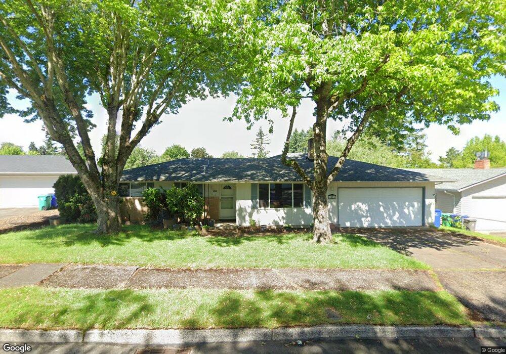
1075 SE 214th Ave Gresham, OR 97030
North Central NeighborhoodEstimated Value: $413,656 - $443,000
3
Beds
2
Baths
1,396
Sq Ft
$311/Sq Ft
Est. Value
About This Home
This home is located at 1075 SE 214th Ave, Gresham, OR 97030 and is currently estimated at $434,664, approximately $311 per square foot. 1075 SE 214th Ave is a home located in Multnomah County with nearby schools including North Gresham Elementary School, Clear Creek Middle School, and Gresham High School.
Ownership History
Date
Name
Owned For
Owner Type
Purchase Details
Closed on
Oct 11, 2023
Sold by
Mayer Michael Glen and Herrera Terri Lynn
Bought by
Mayer Family Real Property Trust and Herrera
Current Estimated Value
Purchase Details
Closed on
Apr 27, 2023
Sold by
Clemente Anne Mayer
Bought by
Mayer Michael Glen and Herrera Tern Lynn
Purchase Details
Closed on
Oct 22, 2019
Sold by
Herrera Terri Lynn
Bought by
Mayer Mayer Michael Glen Michael Glen and Mayer Clemente Anne
Purchase Details
Closed on
May 9, 1997
Sold by
Mayer Geraldine M
Bought by
Mayer Geraldine M
Create a Home Valuation Report for This Property
The Home Valuation Report is an in-depth analysis detailing your home's value as well as a comparison with similar homes in the area
Home Values in the Area
Average Home Value in this Area
Purchase History
| Date | Buyer | Sale Price | Title Company |
|---|---|---|---|
| Mayer Family Real Property Trust | -- | None Listed On Document | |
| Mayer Michael Glen | $123,333 | None Listed On Document | |
| Mayer Mayer Michael Glen Michael Glen | -- | None Available | |
| Mayer Geraldine M | -- | -- |
Source: Public Records
Tax History
| Year | Tax Paid | Tax Assessment Tax Assessment Total Assessment is a certain percentage of the fair market value that is determined by local assessors to be the total taxable value of land and additions on the property. | Land | Improvement |
|---|---|---|---|---|
| 2025 | $4,145 | $203,710 | -- | -- |
| 2024 | $3,968 | $197,780 | -- | -- |
| 2023 | $3,615 | $192,020 | $0 | $0 |
| 2022 | $3,514 | $186,430 | $0 | $0 |
| 2021 | $3,426 | $181,000 | $0 | $0 |
| 2020 | $3,223 | $175,730 | $0 | $0 |
| 2019 | $3,139 | $170,620 | $0 | $0 |
| 2018 | $2,993 | $165,660 | $0 | $0 |
| 2017 | $2,872 | $160,840 | $0 | $0 |
| 2016 | $2,532 | $156,160 | $0 | $0 |
Source: Public Records
Map
Nearby Homes
- 21532 SE Alder St
- 21400 SE Stark St Unit 2
- 21260 SE Stark St
- 21033 SE Clay Ct
- 21016 SE Stark St Unit 71
- 21016 SE Stark St Unit 69
- 2013 NW Bella Vista Dr
- 21525 SE Oak St
- 209 SE 214th Ave
- 1811 NW 19th St
- 132 SE 214th Ave
- 21553 SE Ankeny Terrace
- 210 SE 218th Ave
- 1861 NW Wonderview Ave
- 1035 SE 225th Ave
- 1596 NW Riverview Ave
- 1325 NW 9th St
- 450 NE 22nd St
- 522 SE 199th Ave
- 0 SE Burnside St
- 1107 SE 214th Ave
- 1067 SE 214th Ave
- 1050 SE 213th Ave
- 1034 SE 213th Ave
- 1054 SE 213th Ave
- 1078 SE 214th Ave
- 1121 SE 214th Ave
- 1066 SE 214th Ave
- 1108 SE 214th Ave
- 1112 SE 213th Ave
- 1124 SE 214th Ave
- 1054 SE 214th Ave
- 1043 SE 214th Ave
- 1133 SE 214th Ave
- 1047 SE 213th Ave
- 1020 SE 213th Ave
- 1035 SE 213th Ave
- 1053 SE 213th Ave
- 1044 SE 214th Ave
Your Personal Tour Guide
Ask me questions while you tour the home.