10775 Oak St Unit Bldg-Unit Taylor, MI 48180
Estimated Value: $127,000 - $140,716
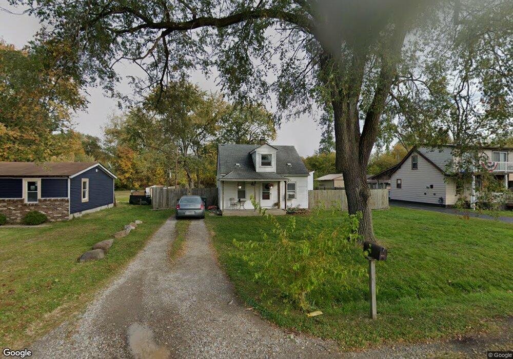
About This Home
This home is located at 10775 Oak St Unit Bldg-Unit, Taylor, MI 48180 and is currently estimated at $134,929, approximately $160 per square foot. 10775 Oak St Unit Bldg-Unit is a home located in Wayne County with nearby schools including Kinyon Elementary School, Robert J. West Middle School, and Taylor High School.
Ownership History
We collect this data history from publicly available records. To have your information removed, we recommend requesting removal directly through your county’s website.
Purchase Details
Purchase Details
Purchase Details
Purchase Details
Home Values in the Area
Average Home Value in this Area
Purchase History
We collect this data history from publicly available records. To have your information removed, we recommend requesting removal directly through your county’s website.
| Date | Buyer | Sale Price | Title Company |
|---|---|---|---|
| $53,500 | Servicelink Llc | ||
| $2,500 | None Available | ||
| $54,400 | None Available | ||
| $112,000 | Multiple |
Tax History
We collect this data history from publicly available records. To have your information removed, we recommend requesting removal directly through your county’s website.
| Year | Tax Paid | Tax Assessment Tax Assessment Total Assessment is a certain percentage of the fair market value that is determined by local assessors to be the total taxable value of land and additions on the property. | Land | Improvement |
|---|---|---|---|---|
| 2025 | $1,694 | $53,500 | $0 | $0 |
| 2024 | $1,640 | $49,800 | $0 | $0 |
| 2023 | $2,597 | $44,700 | $0 | $0 |
| 2022 | $2,181 | $37,500 | $0 | $0 |
| 2021 | $2,501 | $33,200 | $0 | $0 |
| 2020 | $2,338 | $33,100 | $0 | $0 |
| 2019 | $275,260 | $34,300 | $0 | $0 |
| 2018 | $1,036 | $28,500 | $0 | $0 |
| 2017 | $597 | $23,700 | $0 | $0 |
| 2016 | $1,336 | $23,800 | $0 | $0 |
| 2015 | $2,560 | $26,900 | $0 | $0 |
| 2013 | $2,540 | $26,200 | $0 | $0 |
| 2012 | $1,084 | $25,500 | $11,000 | $14,500 |
Map
- 10769 Birch St
- 23335 Koths St
- 000 Pine Lot A St
- 000 Pine Lot B St
- 6445 Pardee Rd
- Telegraph Telegraph Rd
- 011 Pine St
- 01 Pine St
- 9788 Pine St
- 9981 Telegraph Rd
- 9792 Cornell St
- 11700 Cornell St
- 23517 Baker St
- 23362 Baker St
- 9700 Pine St
- 9602 Cornell St
- 9606 Cornell St
- 23319 Haig St
- 24700 Goddard Rd
- 0 Brest Unit 20261018754
Ask me questions while you tour the home.