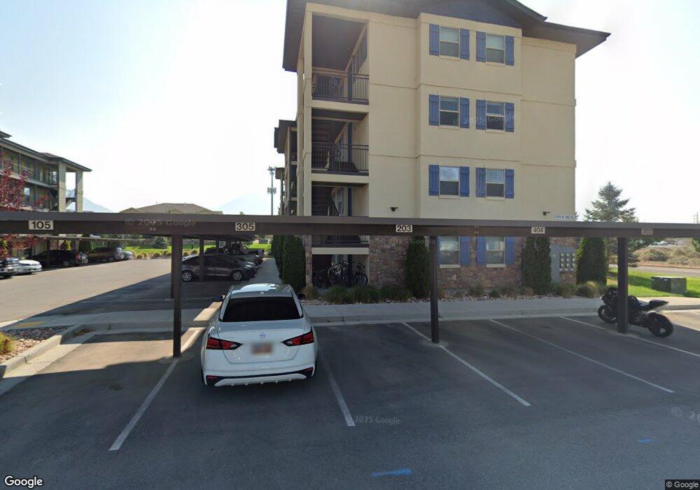
1079 W 965 N Unit 403 Orem, UT 84097
Bonneville NeighborhoodEstimated Value: $263,268 - $350,000
2
Beds
1
Bath
780
Sq Ft
$367/Sq Ft
Est. Value
About This Home
This home is located at 1079 W 965 N Unit 403, Orem, UT 84097 and is currently estimated at $286,567, approximately $367 per square foot. 1079 W 965 N Unit 403 is a home located in Utah County with nearby schools including Bonneville Elementary School, Orem Junior High School, and Timpanogos High School.
Ownership History
Date
Name
Owned For
Owner Type
Purchase Details
Closed on
Nov 6, 2020
Sold by
Mitchell Lane Robison
Bought by
Brenner Seth
Current Estimated Value
Home Financials for this Owner
Home Financials are based on the most recent Mortgage that was taken out on this home.
Original Mortgage
$199,323
Outstanding Balance
$177,369
Interest Rate
2.8%
Mortgage Type
FHA
Estimated Equity
$109,198
Purchase Details
Closed on
Jan 30, 2017
Sold by
Garrard Jennifer Ann
Bought by
Mitchell Lane Robinson
Home Financials for this Owner
Home Financials are based on the most recent Mortgage that was taken out on this home.
Original Mortgage
$142,493
Interest Rate
4.16%
Mortgage Type
New Conventional
Purchase Details
Closed on
Sep 11, 2015
Sold by
Clyde Hopeful Llc
Bought by
Garrad Jennifer Ann
Home Financials for this Owner
Home Financials are based on the most recent Mortgage that was taken out on this home.
Original Mortgage
$131,005
Interest Rate
3.9%
Mortgage Type
New Conventional
Create a Home Valuation Report for This Property
The Home Valuation Report is an in-depth analysis detailing your home's value as well as a comparison with similar homes in the area
Home Values in the Area
Average Home Value in this Area
Purchase History
| Date | Buyer | Sale Price | Title Company |
|---|---|---|---|
| Brenner Seth | -- | Cottonwood Ttl Ins Agnecy In | |
| Mitchell Lane Robinson | -- | None Available | |
| Garrad Jennifer Ann | -- | United West Title |
Source: Public Records
Mortgage History
| Date | Status | Borrower | Loan Amount |
|---|---|---|---|
| Open | Brenner Seth | $199,323 | |
| Previous Owner | Mitchell Lane Robinson | $142,493 | |
| Previous Owner | Garrad Jennifer Ann | $131,005 |
Source: Public Records
Tax History
| Year | Tax Paid | Tax Assessment Tax Assessment Total Assessment is a certain percentage of the fair market value that is determined by local assessors to be the total taxable value of land and additions on the property. | Land | Improvement |
|---|---|---|---|---|
| 2025 | $1,148 | $141,680 | -- | -- |
| 2024 | $1,148 | $140,360 | $0 | $0 |
| 2023 | $1,077 | $141,570 | $0 | $0 |
| 2022 | $1,046 | $133,155 | $0 | $0 |
| 2021 | $985 | $189,900 | $22,800 | $167,100 |
| 2020 | $894 | $169,500 | $20,300 | $149,200 |
| 2019 | $827 | $163,000 | $24,500 | $138,500 |
| 2018 | $839 | $158,000 | $21,000 | $137,000 |
| 2017 | $791 | $79,750 | $0 | $0 |
| 2016 | $828 | $77,000 | $0 | $0 |
Source: Public Records
Map
Nearby Homes
- 1140 W 950 N Unit D302
- 1140 W 950 N Unit E202
- 1140 W 950 N Unit D304
- 1004 N 1090 W Unit 203
- 1015 N 995 W
- 999 W 1100 N
- 1175 N 950 W
- 1123 N 800 W
- 954 W 630 N Unit 34,
- 1058 W 570 St N
- 1028 W 1375 N
- 1075 W 530 N
- 645 W 920 N
- 1253 W 1420 N
- 776 W 640 N
- 510 N 940 W
- 875 W 530 N
- 1094 W 465 N
- 1230 N 685 W
- 557 N Emery Ave
- 1079 W 965 N Unit 102
- 1079 W 965 N Unit 402
- 1079 W 965 N Unit 401
- 1079 W 965 N Unit 1-20
- 1079 W 965 N Unit 104
- 1079 W 965 N Unit 302
- 1079 W 965 N Unit 404
- 1079 W 965 N Unit 205
- 1079 W 965 N Unit 405
- 1079 W 965 N Unit 4
- 1079 W 965 N Unit 105
- 1190 W 950 N
- 1080 W 965 N Unit 203
- 1080 W 965 N Unit 102
- 1080 W 965 N Unit 202
- 1080 W 965 N
- 1080 W 965 N Unit 402
- 1080 W 965 N Unit 204
- 1080 W 965 N Unit 301
- 1080 W 965 N Unit 201
Your Personal Tour Guide
Ask me questions while you tour the home.