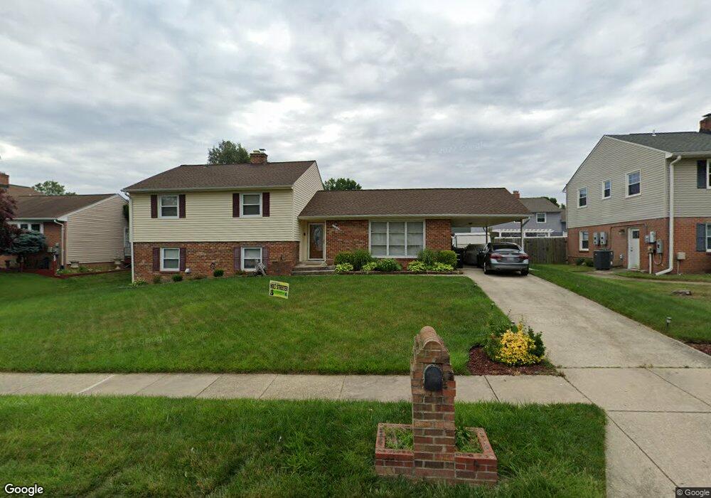
108 Chartsey St Upper Marlboro, MD 20774
Estimated Value: $426,407 - $513,000
Studio
3
Baths
2,416
Sq Ft
$201/Sq Ft
Est. Value
About This Home
This home is located at 108 Chartsey St, Upper Marlboro, MD 20774 and is currently estimated at $486,602, approximately $201 per square foot. 108 Chartsey St is a home located in Prince George's County with nearby schools including Perrywood Elementary School, Kettering Middle School, and Largo High School.
Ownership History
Date
Name
Owned For
Owner Type
Purchase Details
Closed on
Dec 3, 2019
Sold by
Patterson Tyrone V and Houchins Tia Patterson
Bought by
Patterson Tyrone V
Current Estimated Value
Home Financials for this Owner
Home Financials are based on the most recent Mortgage that was taken out on this home.
Original Mortgage
$299,750
Outstanding Balance
$233,292
Interest Rate
3.6%
Mortgage Type
New Conventional
Estimated Equity
$253,310
Purchase Details
Closed on
Jan 15, 2003
Sold by
Patterson Tyrone V
Bought by
Patterson Tyrone V Sr Etal
Create a Home Valuation Report for This Property
The Home Valuation Report is an in-depth analysis detailing your home's value as well as a comparison with similar homes in the area
Home Values in the Area
Average Home Value in this Area
Purchase History
We collect this data history from publicly available records. To have your information removed, we recommend requesting removal directly through your county’s website.
| Date | Buyer | Sale Price | Title Company |
|---|---|---|---|
| Patterson Tyrone V | -- | Accommodation | |
| Patterson Tyrone V Sr Etal | -- | -- |
Source: Public Records
Mortgage History
We collect this data history from publicly available records. To have your information removed, we recommend requesting removal directly through your county’s website.
| Date | Status | Borrower | Loan Amount |
|---|---|---|---|
| Open | Patterson Tyrone V | $299,750 |
Source: Public Records
Tax History
| Year | Tax Paid | Tax Assessment Tax Assessment Total Assessment is a certain percentage of the fair market value that is determined by local assessors to be the total taxable value of land and additions on the property. | Land | Improvement |
|---|---|---|---|---|
| 2025 | $4,948 | $435,700 | $100,800 | $334,900 |
| 2024 | $4,948 | $408,500 | -- | -- |
| 2023 | $4,740 | $381,300 | $0 | $0 |
| 2022 | $4,490 | $354,100 | $100,800 | $253,300 |
| 2021 | $4,289 | $336,133 | $0 | $0 |
| 2020 | $4,180 | $318,167 | $0 | $0 |
| 2019 | $4,048 | $300,200 | $100,400 | $199,800 |
| 2018 | $3,892 | $281,167 | $0 | $0 |
| 2017 | $3,758 | $262,133 | $0 | $0 |
| 2016 | -- | $243,100 | $0 | $0 |
| 2015 | $3,373 | $243,100 | $0 | $0 |
| 2014 | $3,373 | $243,100 | $0 | $0 |
Source: Public Records
Map
Nearby Homes
- 103 Essenton Dr
- 203 Dauntly St
- 12812 Staton Ct
- 205 Weymouth St
- 108 Dauntly St
- 13108 Keverton Dr
- 13001 Payton Dr
- 12902 Lakeston Ct
- 13008 Payton Dr
- 13109 Fox Bow Dr
- 12802 Winona Dr
- 13102 Eddington Dr
- 13203 Fox Bow Dr
- 12607 Princeleigh St
- 12916 Fox Bow Dr Unit 107
- 302 Fidgeway Ln
- 14000 New Acadia Ln Unit 106
- 14000 New Acadia Ln Unit 404
- 13216 Fox Bow Dr Unit 405
- 13216 Fox Bow Dr Unit 403
- 109 Essenton Dr
- 113 Essenton Dr
- 106 Chartsey St
- 110 Chartsey St
- 107 Essenton Dr
- 112 Essenton Dr
- 115 Essenton Dr
- 114 Essenton Dr
- 104 Chartsey St
- 112 Chartsey St
- 110 Essenton Dr
- 116 Essenton Dr
- 105 Essenton Dr
- 109 Chartsey St
- 117 Essenton Dr
- 108 Essenton Dr
- 111 Chartsey St
- 114 Chartsey St
- 102 Chartsey St
- 107 Chartsey St
Your Personal Tour Guide
Ask me questions while you tour the home.