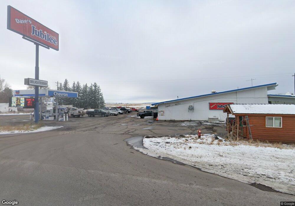
108 U S 20 Ashton, ID 83420
Estimated Value: $1,675,237
Studio
2
Baths
14,050
Sq Ft
$119/Sq Ft
Est. Value
About This Home
This home is located at 108 U S 20, Ashton, ID 83420 and is currently estimated at $1,675,237, approximately $119 per square foot. 108 U S 20 is a home located in Fremont County with nearby schools including Ashton Elementary School and North Fremont Junior/Senior High School.
Ownership History
Date
Name
Owned For
Owner Type
Purchase Details
Closed on
May 12, 2022
Sold by
J J & J Inc
Bought by
Nam & Park Enterprise Inc
Current Estimated Value
Home Financials for this Owner
Home Financials are based on the most recent Mortgage that was taken out on this home.
Original Mortgage
$1,200,000
Outstanding Balance
$1,140,482
Interest Rate
5.3%
Mortgage Type
New Conventional
Estimated Equity
$535,470
Create a Home Valuation Report for This Property
The Home Valuation Report is an in-depth analysis detailing your home's value as well as a comparison with similar homes in the area
Purchase History
We collect this data history from publicly available records. To have your information removed, we recommend requesting removal directly through your county’s website.
| Date | Buyer | Sale Price | Title Company |
|---|---|---|---|
| Nam & Park Enterprise Inc | -- | Alliance Title |
Source: Public Records
Mortgage History
We collect this data history from publicly available records. To have your information removed, we recommend requesting removal directly through your county’s website.
| Date | Status | Borrower | Loan Amount |
|---|---|---|---|
| Open | Nam & Park Enterprise Inc | $1,200,000 |
Source: Public Records
Tax History
| Year | Tax Paid | Tax Assessment Tax Assessment Total Assessment is a certain percentage of the fair market value that is determined by local assessors to be the total taxable value of land and additions on the property. | Land | Improvement |
|---|---|---|---|---|
| 2025 | $15,761 | $1,006,315 | $75,700 | $930,615 |
| 2024 | $13,502 | $1,006,315 | $75,700 | $930,615 |
| 2023 | $13,502 | $789,172 | $75,700 | $713,472 |
| 2022 | $15,406 | $696,110 | $75,700 | $620,410 |
| 2021 | $15,267 | $536,005 | $58,289 | $477,716 |
| 2020 | $15,548 | $536,005 | $58,289 | $477,716 |
| 2019 | $15,374 | $536,005 | $58,289 | $477,716 |
| 2018 | $15,668 | $536,005 | $58,289 | $477,716 |
| 2017 | $11,371 | $536,005 | $58,289 | $477,716 |
| 2016 | $10,872 | $536,005 | $58,289 | $477,716 |
| 2015 | $11,103 | $536,005 | $0 | $0 |
| 2014 | $9,911 | $536,005 | $0 | $0 |
| 2013 | $9,911 | $536,005 | $0 | $0 |
Source: Public Records
Map
Nearby Homes
- L2 BLK 1 E 1300 Rd N
- 24 S 5th St
- 417 Main St
- 317 N 3rd St
- 161 Walnut St
- Lot 22 Sunflower Ln
- 4374 Madeline Trail
- 511 Id-47
- 137 Spruce St
- 620 N 4th St Unit 1
- 620 N 4th St Unit 4
- 620 N 4th St Unit 2
- 118 N 8th St Unit 2
- 3660 E 1312 N
- 3665 E 1337 N
- 3667 E 1337 N
- 1331 N 3687 E
- 4344 Warm River Dr
- 1121 N 3400 E
- L4A B2 N 3706 E
- 108 S Highway 20
- 921 U S 20
- Tbd Hwy 20
- 120 S Highway 20 Hwy
- 3630 E 1300 Rd N
- 3300 E E 1300 Rd N
- 3415 E 1300 Rd N
- LOTS 1-4 E 1300 Rd N
- L4 BLK 1 E 1300 Rd N
- 57.12 Ac E 1300 Rd N
- 134 AC E 1300 Rd N
- 72 Acres E 1300 Rd N
- 1.60 E 1300 Rd N
- 71 Acres E 1300 Rd N
- 65 Acres E 1300 Rd N
- 63 Acres E 1300 Rd N
- 65.25 Ac E 1300 Rd N
- L3 E 1300 Rd N
- L2 E 1300 Rd N
- L1 E 1300 Rd N
Your Personal Tour Guide
Ask me questions while you tour the home.