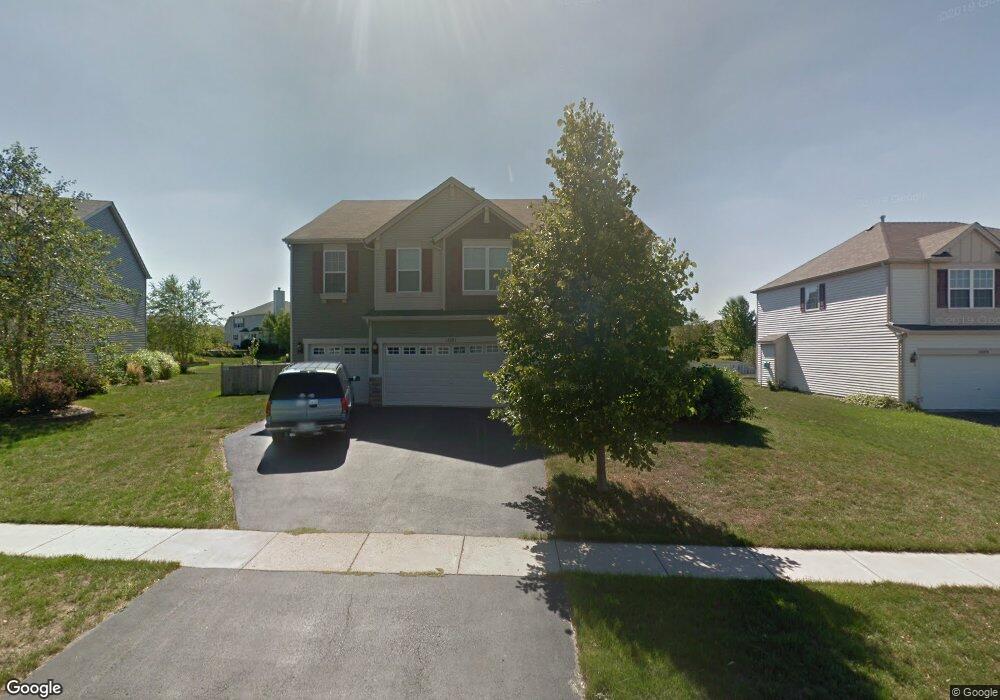
1081 Devon Dr Antioch, IL 60002
Antioch AreaEstimated Value: $450,000 - $495,000
About This Home
This home is located at 1081 Devon Dr, Antioch, IL 60002 and is currently estimated at $481,029, approximately $134 per square foot. 1081 Devon Dr is a home located in Lake County with nearby schools including Antioch Community High School.
Ownership History
We collect this data history from publicly available records. To have your information removed, we recommend requesting removal directly through your county’s website.
Purchase Details
Home Financials for this Owner
Home Financials are based on the most recent Mortgage that was taken out on this home.Home Values in the Area
Average Home Value in this Area
Purchase History
We collect this data history from publicly available records. To have your information removed, we recommend requesting removal directly through your county’s website.
| Date | Buyer | Sale Price | Title Company |
|---|---|---|---|
| $314,000 | Ct |
Mortgage History
We collect this data history from publicly available records. To have your information removed, we recommend requesting removal directly through your county’s website.
| Date | Status | Borrower | Loan Amount |
|---|---|---|---|
| Open | $299,000 | ||
| Closed | $318,000 | ||
| Closed | $306,000 | ||
| Closed | $298,150 |
Tax History
We collect this data history from publicly available records. To have your information removed, we recommend requesting removal directly through your county’s website.
| Year | Tax Paid | Tax Assessment Tax Assessment Total Assessment is a certain percentage of the fair market value that is determined by local assessors to be the total taxable value of land and additions on the property. | Land | Improvement |
|---|---|---|---|---|
| 2025 | $16,609 | $162,943 | $10,598 | $152,345 |
| 2024 | $16,000 | $150,859 | $9,812 | $141,047 |
| 2023 | $14,653 | $135,082 | $8,786 | $126,296 |
| 2022 | $14,653 | $118,680 | $11,097 | $107,583 |
| 2021 | $13,799 | $110,740 | $10,355 | $100,385 |
| 2020 | $13,564 | $107,682 | $10,069 | $97,613 |
| 2019 | $13,733 | $102,976 | $9,629 | $93,347 |
| 2018 | $12,077 | $90,927 | $10,726 | $80,201 |
| 2017 | $11,971 | $86,547 | $10,209 | $76,338 |
| 2016 | $11,696 | $83,523 | $9,852 | $73,671 |
| 2015 | $9,482 | $81,398 | $9,601 | $71,797 |
| 2014 | $7,236 | $68,327 | $11,646 | $56,681 |
| 2012 | $6,693 | $68,327 | $11,646 | $56,681 |
Map
- 1241 Bradford Ln
- 1124 Ashlyn Ln
- 1226 Bradford Ln
- 1189 Kevington Dr
- 1145 Mackenzie Dr
- 1195 Mark Ct
- 1056 Deertrail Ct
- 1177 Blue Heron Cir
- 41924 N Tammi Terrace
- 1085 Waterview Cir
- 1400 Eagle Ridge Dr
- 42909 N Deep Lake Rd
- 1825 Tall Oaks Dr
- 1285 Prairie Ridge Trail
- 1281 Prairie Ridge Trail
- 1273 Prairie Ridge Trail
- 1304 Prairie Ridge Trail
- 1261 Prairie Ridge Trail
- 1339 Prairie Ridge Trail
- 1257 Prairie Ridge Trail
Ask me questions while you tour the home.