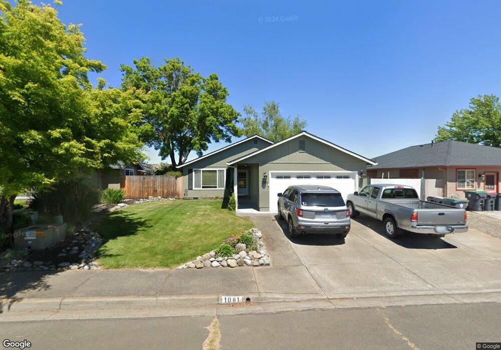
1081 Pittview Ave Central Point, OR 97502
Estimated Value: $349,000 - $394,000
About This Home
This home is located at 1081 Pittview Ave, Central Point, OR 97502 and is currently estimated at $363,994, approximately $292 per square foot. 1081 Pittview Ave is a home located in Jackson County with nearby schools including Central Point Elementary School, Scenic Middle School, and Crater High School.
Ownership History
We collect this data history from publicly available records. To have your information removed, we recommend requesting removal directly through your county’s website.
Purchase Details
Home Financials for this Owner
Home Financials are based on the most recent Mortgage that was taken out on this home.Purchase History
We collect this data history from publicly available records. To have your information removed, we recommend requesting removal directly through your county’s website.
| Date | Buyer | Sale Price | Title Company |
|---|---|---|---|
| $235,000 | Lawyers Title Ins |
Mortgage History
We collect this data history from publicly available records. To have your information removed, we recommend requesting removal directly through your county’s website.
| Date | Status | Borrower | Loan Amount |
|---|---|---|---|
| Open | $235,000 |
Tax History
We collect this data history from publicly available records. To have your information removed, we recommend requesting removal directly through your county’s website.
| Year | Tax Paid | Tax Assessment Tax Assessment Total Assessment is a certain percentage of the fair market value that is determined by local assessors to be the total taxable value of land and additions on the property. | Land | Improvement |
|---|---|---|---|---|
| 2026 | $3,034 | $183,340 | -- | -- |
| 2025 | $2,959 | $178,000 | $52,860 | $125,140 |
| 2024 | $2,959 | $172,820 | $51,320 | $121,500 |
| 2023 | $2,864 | $167,790 | $49,830 | $117,960 |
| 2022 | $2,797 | $167,790 | $49,830 | $117,960 |
| 2021 | $2,718 | $162,910 | $48,380 | $114,530 |
| 2020 | $2,638 | $158,170 | $46,970 | $111,200 |
| 2019 | $2,573 | $149,100 | $44,270 | $104,830 |
| 2018 | $2,495 | $144,760 | $42,980 | $101,780 |
| 2017 | $2,432 | $144,760 | $42,980 | $101,780 |
| 2016 | $2,361 | $136,460 | $40,510 | $95,950 |
| 2015 | $2,262 | $136,460 | $40,510 | $95,950 |
| 2014 | $2,205 | $128,640 | $38,190 | $90,450 |
Map
- 1104 Coachman Dr
- 1111 Looking Glass Way
- 566 Village Dr Unit F23
- 512 Village Dr Unit B5
- 786 Pittview Ave
- 959 Westrop Dr
- 1379 Circle Wood Dr
- 460 Federal Way
- 850 Forest Glen Dr
- 3364 Bursell Rd
- 3358 Bursell Rd
- 3086 Marilee St
- 3490 1/2 Table Rock Rd Unit 1-43
- 3015 Merriman Rd Unit 12
- 659 Herman Ave
- 604 Hemlock Ave
- 301 Freeman Rd Unit 30
- 301 Freeman Rd Unit 92
- 301 Freeman Rd Unit 91
- 301 Freeman Rd Unit 70
- 955 Hampton Dr
- 1017 Fairfield Dr
- 1018 Fairfield Ave
- 1103 Hampton Dr
- 1015 Fairfield Ave
- 1019 Fairfield Ave
- 1014 Fairfield Ave
- 1020 Fairfield Ave
- 1104 Hampton Dr
- 1011 Fairfield Ave
- 1021 Fairfield Ave
- 1012 Fairfield Ave
- 1022 Fairfield Ave
- 1102 Juanita Way
- 1106 Hampton Dr
- 1106 Juanita Way
- 1087 Pittview Ave
- 1009 Fairfield Ave
- 1010 Fairfield Ave
- 1010 Juanita Way
Ask me questions while you tour the home.