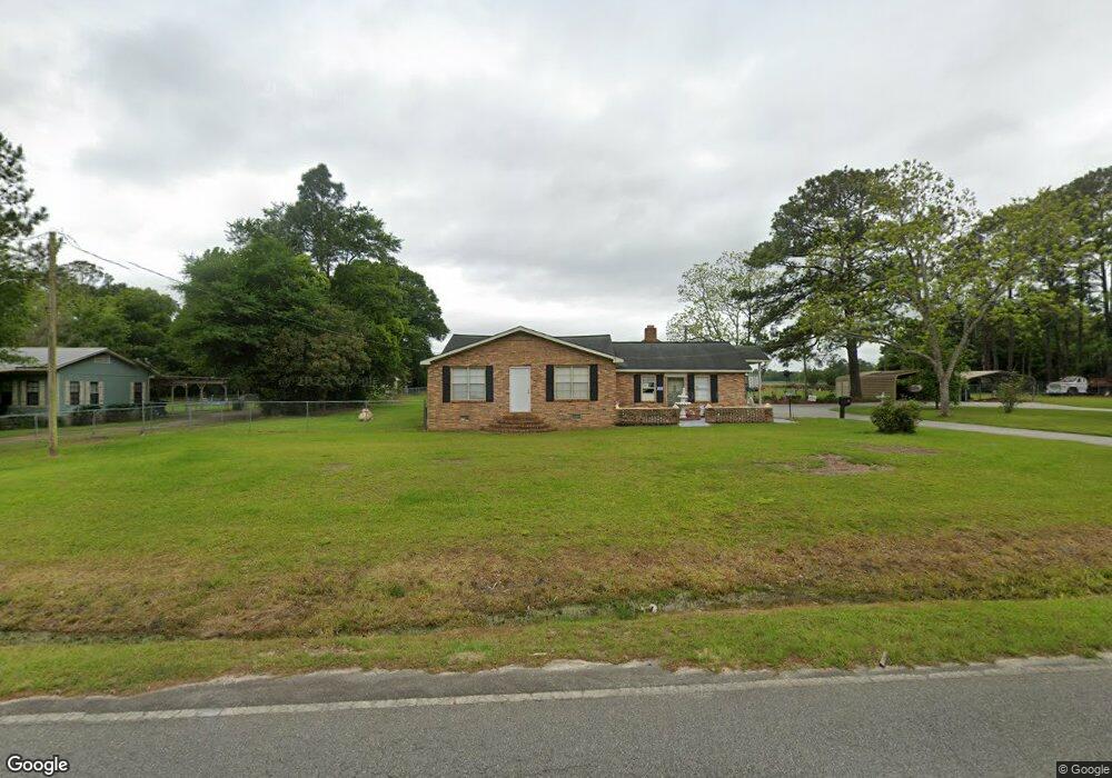
1083 Circle Rd Moultrie, GA 31768
Estimated Value: $275,000 - $332,566
Studio
2
Baths
3,185
Sq Ft
$97/Sq Ft
Est. Value
About This Home
This home is located at 1083 Circle Rd, Moultrie, GA 31768 and is currently estimated at $309,142, approximately $97 per square foot. 1083 Circle Rd is a home located in Colquitt County with nearby schools including Funston Elementary School, C.A. Gray Junior High School, and Willie J. Williams Middle School.
Ownership History
Date
Name
Owned For
Owner Type
Purchase Details
Closed on
Dec 11, 2023
Sold by
Smith Doyle Alan
Bought by
Knight Inez B
Current Estimated Value
Purchase Details
Closed on
Dec 14, 2021
Sold by
Knight Inez B
Bought by
Smith Doyle Alan and Smith Eddie Ray
Purchase Details
Closed on
Jan 18, 2019
Sold by
Knight Howard E
Bought by
Knight Inez B
Purchase Details
Closed on
Dec 20, 2016
Sold by
Howard E
Bought by
Knight Howard E and Knight Inez B
Create a Home Valuation Report for This Property
The Home Valuation Report is an in-depth analysis detailing your home's value as well as a comparison with similar homes in the area
Purchase History
| Date | Buyer | Sale Price | Title Company |
|---|---|---|---|
| Knight Inez B | -- | -- | |
| Smith Doyle Alan | -- | -- | |
| Knight Inez B | -- | -- | |
| Knight Howard E | -- | -- |
Source: Public Records
Tax History
| Year | Tax Paid | Tax Assessment Tax Assessment Total Assessment is a certain percentage of the fair market value that is determined by local assessors to be the total taxable value of land and additions on the property. | Land | Improvement |
|---|---|---|---|---|
| 2025 | $2,603 | $130,884 | $10,481 | $120,403 |
| 2024 | $2,603 | $125,458 | $7,862 | $117,596 |
| 2023 | $2,646 | $74,949 | $7,862 | $67,087 |
| 2022 | $1,656 | $69,559 | $6,987 | $62,572 |
| 2021 | $1,479 | $62,913 | $6,987 | $55,926 |
| 2020 | $1,410 | $59,040 | $6,987 | $52,053 |
| 2019 | $1,022 | $39,183 | $6,987 | $32,196 |
| 2018 | $1,002 | $39,183 | $6,987 | $32,196 |
| 2017 | $893 | $34,796 | $2,600 | $32,196 |
| 2016 | $904 | $34,796 | $2,600 | $32,196 |
| 2015 | $913 | $34,796 | $2,600 | $32,196 |
| 2014 | -- | $34,796 | $2,600 | $32,196 |
| 2013 | -- | $34,795 | $2,599 | $32,196 |
Source: Public Records
Map
Nearby Homes
- 534 Georgia 111
- 200 8th St SW
- LOT 19 10th St NW
- 618 2nd Ave SW
- 408 9th St NW
- 1008 Highland Blvd
- 614 3rd Ave SW
- 1215 12th St SW
- 1200 10th St SW
- 610 1st Ave NW
- 221 6th St SW
- 518 1st Ave SW Unit 3
- 00 1st Ave SW
- 310 1st Ave SW
- 1021 11th Ave NW
- 1315 9th St SW
- 521 5th Ave NW
- 209 7th Ave SW
- 316 5th Ave NW
- 323 2nd St NW
Your Personal Tour Guide
Ask me questions while you tour the home.