1083 W Sycamore St Springfield, MO 65810
Southwest Springfield NeighborhoodEstimated Value: $608,000 - $742,000
5
Beds
4
Baths
3,325
Sq Ft
$195/Sq Ft
Est. Value
About This Home
This home is located at 1083 W Sycamore St, Springfield, MO 65810 and is currently estimated at $648,630, approximately $195 per square foot. 1083 W Sycamore St is a home located in Greene County with nearby schools including Gray Elementary School, Wilson's Creek Intermediate School, and Cherokee Middle School.
Ownership History
Date
Name
Owned For
Owner Type
Purchase Details
Closed on
Aug 20, 2012
Sold by
Quasius L A and Quasius Kay S
Bought by
Quasius L A and Quasius Kay S
Current Estimated Value
Purchase Details
Closed on
Apr 2, 2007
Sold by
Jacobs George and Jacobs Vicki H
Bought by
Quasius L A and Quasius Kay
Home Financials for this Owner
Home Financials are based on the most recent Mortgage that was taken out on this home.
Original Mortgage
$297,000
Interest Rate
6.3%
Mortgage Type
New Conventional
Create a Home Valuation Report for This Property
The Home Valuation Report is an in-depth analysis detailing your home's value as well as a comparison with similar homes in the area
Home Values in the Area
Average Home Value in this Area
Purchase History
| Date | Buyer | Sale Price | Title Company |
|---|---|---|---|
| Quasius L A | -- | None Available | |
| Quasius L A | -- | None Available |
Source: Public Records
Mortgage History
| Date | Status | Borrower | Loan Amount |
|---|---|---|---|
| Previous Owner | Quasius L A | $297,000 |
Source: Public Records
Tax History
| Year | Tax Paid | Tax Assessment Tax Assessment Total Assessment is a certain percentage of the fair market value that is determined by local assessors to be the total taxable value of land and additions on the property. | Land | Improvement |
|---|---|---|---|---|
| 2025 | $5,109 | $105,190 | $13,970 | $91,220 |
| 2024 | $5,109 | $92,250 | $13,300 | $78,950 |
| 2023 | $5,082 | $92,250 | $13,300 | $78,950 |
| 2022 | $4,408 | $82,020 | $13,300 | $68,720 |
| 2021 | $4,407 | $82,020 | $13,300 | $68,720 |
| 2020 | $4,378 | $77,250 | $13,300 | $63,950 |
| 2019 | $4,252 | $77,250 | $13,300 | $63,950 |
| 2018 | $4,005 | $72,600 | $13,300 | $59,300 |
| 2017 | $3,965 | $71,040 | $13,300 | $57,740 |
| 2016 | $3,882 | $71,040 | $13,300 | $57,740 |
| 2015 | $3,851 | $71,040 | $13,300 | $57,740 |
| 2014 | $3,779 | $69,160 | $13,300 | $55,860 |
Source: Public Records
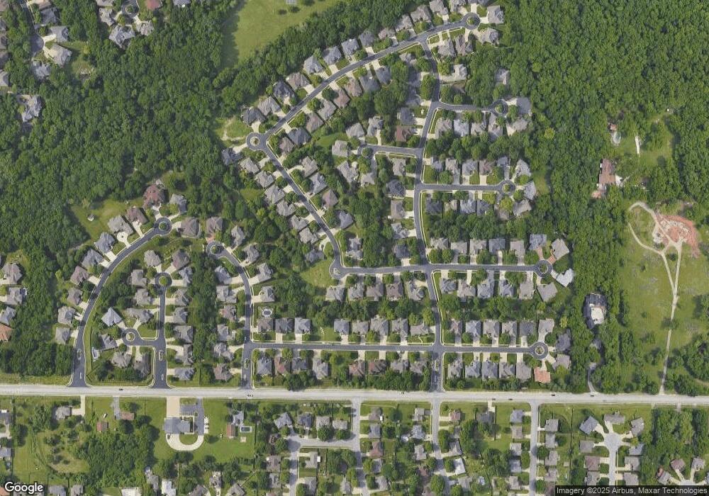
Map
Nearby Homes
- 1532 W Fancrest Ln
- 5337 S Dayton Ave
- 5341 S Dayton Ave
- 5333 S Dayton Ave
- 5328 S Dayton Ave
- 5332 S Dayton Ave
- 5336 S Dayton Ave
- 1551 W Pheasant Run St
- 5436 S Michigan Ave
- 5393 S Newton Ave
- 5381 S Newton Ave
- 989 E Siler Pkwy
- 5955 S Farm Road 163 Unit 209a
- 5955 S Farm Road 163 Unit 206b
- 5955 S Farm Road 163 Unit 101b
- 5955 S Farm Road 163 Unit 106
- 5955 S Farm Road 163 Unit 209b
- 5955 S Farm Road 163 Unit 202a
- 5955 S Farm Road 163 Unit 105
- 5955 S Farm Road 163 Unit 201a
- 5326 S Whitmore Ave
- 5337 S Whitmore Ave
- 5311 S Parkhill Ave
- 1082 W Sycamore St
- 5323 S Parkhill Ave
- 1070 W Sycamore St
- 1094 W Sycamore St
- 5325 S Whitmore Ave
- 5314 S Whitmore Ave
- 5299 S Parkhill Ave
- 1058 W Sycamore St
- 5313 S Whitmore Ave
- 1078 W Woodhill Ct
- 5287 S Parkhill Ave
- 5302 S Whitmore Ave
- 1090 W Woodhill Ct
- 1040 W Sycamore St
- 1091 W Shadowlawn St
- 1079 W Shadowlawn St
- 1067 W Shadowlawn St
Your Personal Tour Guide
Ask me questions while you tour the home.