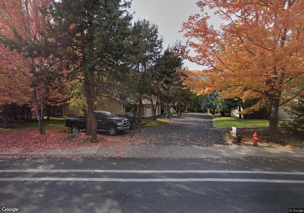
1085 NE Purcell Blvd Unit 30 Bend, OR 97701
Mountain View NeighborhoodEstimated Value: $1,044,000 - $1,228,000
8
Beds
8
Baths
32,000
Sq Ft
$35/Sq Ft
Est. Value
About This Home
This home is located at 1085 NE Purcell Blvd Unit 30, Bend, OR 97701 and is currently estimated at $1,133,000, approximately $35 per square foot. 1085 NE Purcell Blvd Unit 30 is a home located in Deschutes County with nearby schools including Juniper Elementary School, Pilot Butte Middle School, and Bend Senior High School.
Ownership History
Date
Name
Owned For
Owner Type
Purchase Details
Closed on
May 1, 2017
Sold by
Gist John R
Bought by
Gist John R and The J Reuss Gist 1994 Trust
Current Estimated Value
Home Financials for this Owner
Home Financials are based on the most recent Mortgage that was taken out on this home.
Original Mortgage
$2,800,000
Interest Rate
4.3%
Mortgage Type
Commercial
Create a Home Valuation Report for This Property
The Home Valuation Report is an in-depth analysis detailing your home's value as well as a comparison with similar homes in the area
Home Values in the Area
Average Home Value in this Area
Purchase History
We collect this data history from publicly available records. To have your information removed, we recommend requesting removal directly through your county’s website.
| Date | Buyer | Sale Price | Title Company |
|---|---|---|---|
| Gist John R | -- | Western Title & Escrow |
Source: Public Records
Mortgage History
We collect this data history from publicly available records. To have your information removed, we recommend requesting removal directly through your county’s website.
| Date | Status | Borrower | Loan Amount |
|---|---|---|---|
| Closed | Gist John R | $2,800,000 |
Source: Public Records
Tax History
| Year | Tax Paid | Tax Assessment Tax Assessment Total Assessment is a certain percentage of the fair market value that is determined by local assessors to be the total taxable value of land and additions on the property. | Land | Improvement |
|---|---|---|---|---|
| 2025 | $7,441 | $440,380 | -- | -- |
| 2024 | $7,159 | $427,560 | -- | -- |
| 2023 | $6,636 | $415,110 | $0 | $0 |
| 2022 | $6,191 | $391,289 | $0 | $0 |
| 2021 | $6,201 | $379,900 | $0 | $0 |
| 2020 | $5,883 | $379,900 | $0 | $0 |
| 2019 | $5,719 | $368,840 | $0 | $0 |
| 2018 | $5,558 | $358,100 | $0 | $0 |
| 2017 | $5,395 | $347,670 | $0 | $0 |
| 2016 | $5,145 | $337,550 | $0 | $0 |
| 2015 | $5,002 | $327,720 | $0 | $0 |
| 2014 | $4,855 | $318,180 | $0 | $0 |
Source: Public Records
Map
Nearby Homes
- 1052 NE Francis Ct
- 973 NE Paula Dr
- 940 NE Purcell Blvd
- 1419 NE Lucinda Ct
- 1696 NE Lotus Dr
- 2302 NE Mary Rose Place
- 2200 NE Highway 20 Unit 13
- 2200 NE Hwy 20 Unit 15
- 1801 NE Purcell Blvd Unit 20
- 62062 Dean Swift Rd
- 2010 NE Full Moon Dr Unit 2
- 62017 NE Nate's Place
- 2044 NE Full Moon Dr
- 210 NE Alpenview Ln
- 1188 NE 27th St Unit 71
- 1188 NE 27th St Unit 92
- 1188 NE 27th St Unit 131
- 1188 NE 27th St Unit 90
- 1188 NE 27th St Unit 78
- 217 SE Soft Tail Dr
- 1085 NE Purcell Blvd
- 1045 NE Savannah Dr
- 1975 NE Sams Loop
- 1965 NE Sams Loop
- 1935 NE Sams Loop
- 1950 NE Derek Dr Unit 3
- 1950 NE Derek Dr
- 1951 NE Sams Loop Unit 1
- 1951 NE Sams Loop
- 1078 NE Purcell Blvd
- 1929 NE Sams Loop
- 1070 NE Purcell Blvd
- 1040 NE Savannah Dr
- 2001 NE Rachel Ct
- 990 NE Savannah Dr
- 1955 NE Derek Dr
- 1941 NE Derek Dr
- 1060 NE Purcell Blvd
- 1940 NE Sams Loop
- 1962 NE Sams Loop
Your Personal Tour Guide
Ask me questions while you tour the home.