10850 Sherman Rd Chardon, OH 44024
Estimated Value: $463,947 - $546,000
About This Home
This home is located at 10850 Sherman Rd, Chardon, OH 44024 and is currently estimated at $498,237, approximately $171 per square foot. 10850 Sherman Rd is a home located in Geauga County with nearby schools including Chardon High School and Notre Dame Elementary School.
Ownership History
We collect this data history from publicly available records. To have your information removed, we recommend requesting removal directly through your county’s website.
Purchase Details
Home Financials for this Owner
Home Financials are based on the most recent Mortgage that was taken out on this home.Purchase Details
Purchase History
We collect this data history from publicly available records. To have your information removed, we recommend requesting removal directly through your county’s website.
| Date | Buyer | Sale Price | Title Company |
|---|---|---|---|
| $217,500 | Midland Title Security Inc | ||
| -- | -- |
Mortgage History
We collect this data history from publicly available records. To have your information removed, we recommend requesting removal directly through your county’s website.
| Date | Status | Borrower | Loan Amount |
|---|---|---|---|
| Previous Owner | $174,000 | ||
| Closed | $15,000 |
Tax History
We collect this data history from publicly available records. To have your information removed, we recommend requesting removal directly through your county’s website.
| Year | Tax Paid | Tax Assessment Tax Assessment Total Assessment is a certain percentage of the fair market value that is determined by local assessors to be the total taxable value of land and additions on the property. | Land | Improvement |
|---|---|---|---|---|
| 2025 | $6,443 | $132,200 | $16,590 | $115,610 |
| 2024 | $6,443 | $132,200 | $16,590 | $115,610 |
| 2023 | $6,452 | $132,200 | $16,590 | $115,610 |
| 2022 | $5,127 | $90,270 | $13,790 | $76,480 |
| 2021 | $5,105 | $90,270 | $13,790 | $76,480 |
| 2020 | $5,142 | $90,270 | $13,790 | $76,480 |
| 2019 | $460 | $79,730 | $13,790 | $65,940 |
| 2018 | $4,915 | $79,730 | $13,790 | $65,940 |
| 2017 | $4,602 | $79,730 | $13,790 | $65,940 |
| 2016 | $4,430 | $74,870 | $13,790 | $61,080 |
| 2015 | $4,172 | $74,870 | $13,790 | $61,080 |
| 2014 | $4,172 | $74,870 | $13,790 | $61,080 |
| 2013 | $4,199 | $74,870 | $13,790 | $61,080 |
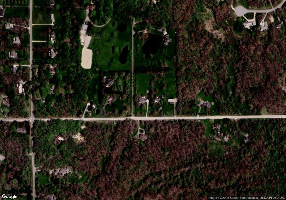
Map
- 10515 Sherman Rd
- 10571 Mayfield Rd
- 10506 Mayfield Rd
- 10831 Wilson Mills Rd
- 11620 Fowlers Mill Rd
- 11635 Twin Mills Ln
- 10331 Butternut Rd
- 10286 Wilson Mills Rd
- 10200 Mayfield Rd
- 11664 Chestnutdale Rd
- 11565 Wilbert Rd
- 12065 Pheasant Ct
- 12590 Rockhaven Rd
- 10640 Butternut Rd
- 10569 Mulberry Rd
- 12560 Bass Lake Rd
- 10381 Mulberry Rd
- 10471 Meadowhurst Ln
- 10239 Mulberry Rd
- V/L Sutton Place
- 10864 Sherman Rd
- 10880 Sherman Rd
- 10814 Sherman Rd
- 10826 Sherman Rd
- 10845 Sherman Rd
- 10792 Sherman Rd
- 10836 Sherman Rd
- 10910 Sherman Rd
- 10915 Sherman Rd
- 10830 Sherman Rd
- 12219 Fowlers Mill Rd
- 12205 Fowlers Mill Rd
- 10765 Sherman Rd
- 12189 Fowlers Mill Rd
- 10834 Sherman Rd
- 12165 Fowlers Mill Rd
- 12299 Fowlers Mill Rd
- 10945 Sherman Rd
- 12149 Fowlers Mill Rd
- 12220 Fowlers Mill Rd
Ask me questions while you tour the home.