10870 Robbins Rd Springport, MI 49284
Estimated Value: $189,000 - $214,704
About This Home
This home is located at 10870 Robbins Rd, Springport, MI 49284 and is currently estimated at $200,176, approximately $139 per square foot. 10870 Robbins Rd is a home located in Jackson County with nearby schools including Springport Elementary School, Springport Middle School, and Springport High School.
Ownership History
We collect this data history from publicly available records. To have your information removed, we recommend requesting removal directly through your county’s website.
Purchase Details
Home Financials for this Owner
Home Financials are based on the most recent Mortgage that was taken out on this home.Purchase History
We collect this data history from publicly available records. To have your information removed, we recommend requesting removal directly through your county’s website.
| Date | Buyer | Sale Price | Title Company |
|---|---|---|---|
| $84,000 | Midstate Title Company |
Mortgage History
We collect this data history from publicly available records. To have your information removed, we recommend requesting removal directly through your county’s website.
| Date | Status | Borrower | Loan Amount |
|---|---|---|---|
| Open | $75,600 |
Tax History
We collect this data history from publicly available records. To have your information removed, we recommend requesting removal directly through your county’s website.
| Year | Tax Paid | Tax Assessment Tax Assessment Total Assessment is a certain percentage of the fair market value that is determined by local assessors to be the total taxable value of land and additions on the property. | Land | Improvement |
|---|---|---|---|---|
| 2026 | $661 | $75,300 | $0 | $0 |
| 2025 | $661 | $78,700 | $0 | $0 |
| 2024 | $6 | $72,000 | $0 | $0 |
| 2023 | $606 | $67,200 | $0 | $0 |
| 2022 | $1,529 | $73,300 | $0 | $0 |
| 2021 | $2,176 | $73,300 | $0 | $0 |
| 2020 | $659 | $72,500 | $0 | $0 |
| 2019 | $2,109 | $63,000 | $0 | $0 |
| 2018 | $2,067 | $56,600 | $0 | $0 |
| 2017 | $1,954 | $55,200 | $0 | $0 |
| 2016 | $620 | $55,200 | $0 | $55,200 |
| 2015 | -- | $57,600 | $57,600 | $0 |
| 2014 | -- | $61,100 | $61,100 | $0 |
| 2013 | -- | $61,100 | $61,100 | $0 |
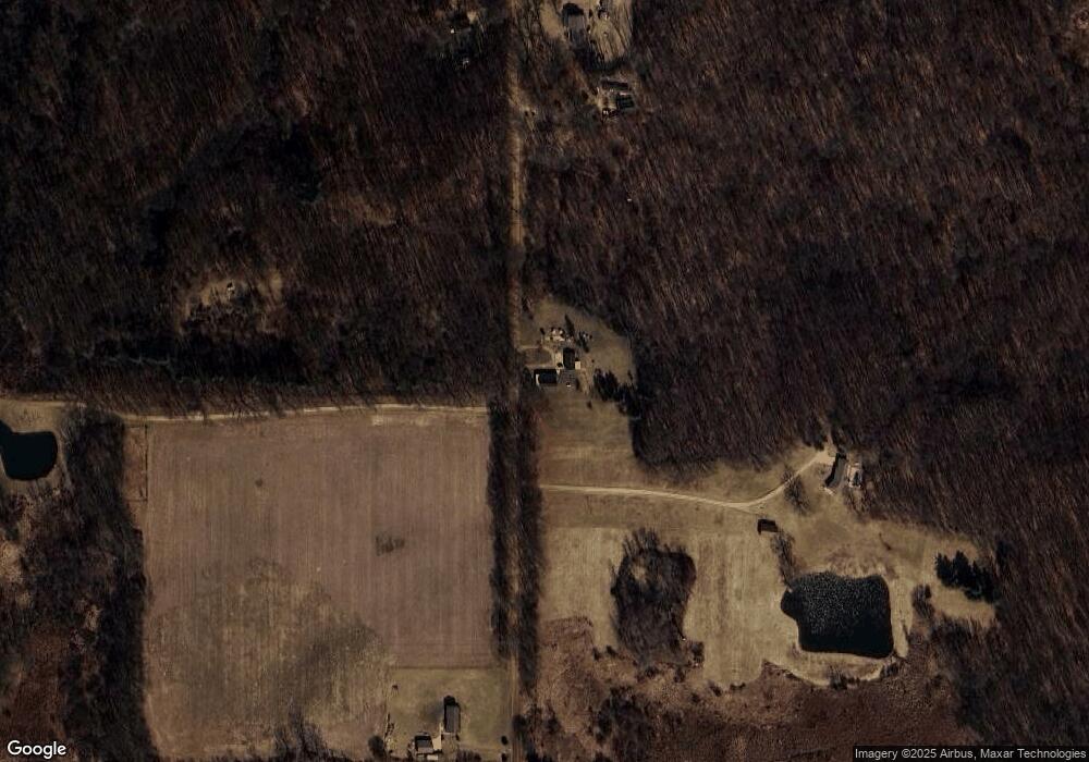
Map
- 11512 Brown Rd
- 11534 Eaton Rapids Rd
- 9673 Spartan Ln
- 9733 Blue Heron
- 509 Spring Harbor Blvd
- 509 Spring Harbor Blvd Unit 80
- 0 Springport Rd
- 12011 Hopcraft Rd
- 330 Grand St
- 325 Grand St
- 225 Oyer St
- 9890 Springport Rd
- VL Hopcraft Rd
- v/l Holibaugh Rd
- 12390 Holibaugh Rd
- 8840 Houston Rd
- 162 Monroe St
- 143 Monroe St
- 9437 Fisk Rd
- 6947 Brown Rd
- 10899 Robbins Rd
- 10848 Robbins Rd
- 10848 Robbins Rd
- 10725 Robbins Rd
- 10917 Robbins Rd
- 10991 Robbins Rd
- 10649 Robbins Rd
- 12770 Prine Rd
- 11000 Robbins Rd
- 11030 Robbins Rd
- 12994 Prine Rd
- 12405 Prine Rd
- 10451 Robbins Rd
- 12341 Prine Rd
- 12397 Prine Rd
- 11040 Robbins Rd
- 11040 Robbins Rd
- 11040 Robbins Rd
- 10435 Robbins Rd
- 10363 Robbins Rd
Ask me questions while you tour the home.