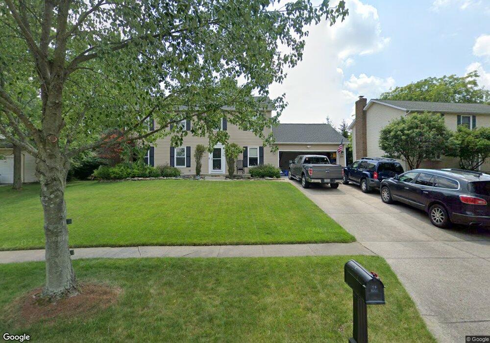
1088 Brookpoint Dr Medina, OH 44256
Estimated Value: $315,000 - $432,000
About This Home
This home is located at 1088 Brookpoint Dr, Medina, OH 44256 and is currently estimated at $376,512, approximately $149 per square foot. 1088 Brookpoint Dr is a home located in Medina County with nearby schools including Heritage Elementary School, Claggett Middle School, and Medina High School.
Ownership History
We collect this data history from publicly available records. To have your information removed, we recommend requesting removal directly through your county’s website.
Purchase Details
Purchase Details
Home Financials for this Owner
Home Financials are based on the most recent Mortgage that was taken out on this home.Purchase Details
Home Financials for this Owner
Home Financials are based on the most recent Mortgage that was taken out on this home.Home Values in the Area
Average Home Value in this Area
Purchase History
We collect this data history from publicly available records. To have your information removed, we recommend requesting removal directly through your county’s website.
| Date | Buyer | Sale Price | Title Company |
|---|---|---|---|
| -- | None Available | ||
| $177,500 | -- | ||
| $185,000 | -- |
Mortgage History
We collect this data history from publicly available records. To have your information removed, we recommend requesting removal directly through your county’s website.
| Date | Status | Borrower | Loan Amount |
|---|---|---|---|
| Open | $159,750 | ||
| Previous Owner | $166,500 |
Tax History
We collect this data history from publicly available records. To have your information removed, we recommend requesting removal directly through your county’s website.
| Year | Tax Paid | Tax Assessment Tax Assessment Total Assessment is a certain percentage of the fair market value that is determined by local assessors to be the total taxable value of land and additions on the property. | Land | Improvement |
|---|---|---|---|---|
| 2025 | $5,082 | $118,430 | $28,000 | $90,430 |
| 2024 | $5,082 | $93,770 | $22,230 | $71,540 |
| 2023 | $4,664 | $93,770 | $22,230 | $71,540 |
| 2022 | $3,981 | $93,270 | $22,230 | $71,040 |
| 2021 | $3,720 | $73,030 | $17,500 | $55,530 |
| 2020 | $3,729 | $73,030 | $17,500 | $55,530 |
| 2019 | $3,663 | $73,030 | $17,500 | $55,530 |
| 2018 | $3,171 | $58,900 | $14,130 | $44,770 |
| 2017 | $3,216 | $58,900 | $14,130 | $44,770 |
| 2016 | $3,311 | $58,900 | $14,130 | $44,770 |
| 2015 | $3,153 | $53,540 | $12,840 | $40,700 |
| 2014 | $3,145 | $53,540 | $12,840 | $40,700 |
| 2013 | $3,149 | $53,540 | $12,840 | $40,700 |
Map
- 1120 Sturbridge Dr
- 1137 Sturbridge Dr
- 1109 Brandywine Dr
- 1055 Gentry Dr
- 999 Concord Dr
- 965 Guilford Blvd
- 1207 Pennyroyal Cir
- 770 Victoria Cir
- 1155 Willow Bend Dr
- 1107 Wadsworth Rd
- 4068 Forest Run Cir
- 0 Wadsworth Rd
- 1221 Ty Dr
- 650 Sturbridge Dr Unit 13
- 650 Sturbridge Dr Unit 3
- 875 Smokerise Dr
- 1238 Ty Dr
- 1078 Alexandria Ln
- 1021 Sugarhouse Ln
- 1091 Wadsworth Rd
- 1082 Brookpoint Dr
- 1092 Brookpoint Dr
- 1050 Marilyn Way
- 1076 Brookpoint Dr
- 1094 Brookpoint Dr
- 1058 Marilyn Way
- 1083 Brookpoint Dr
- 1081 Brookpoint Dr
- 1062 Brookpoint Dr
- 1085 Brookpoint Dr
- 1057 Raymond Way
- 1096 Brookpoint Dr
- 1079 Brookpoint Dr
- 1087 Brookpoint Dr
- 1066 Marilyn Way
- 1056 Brookpoint Dr
- 1050 Raymond Way
- 1098 Brookpoint Dr
- 1065 Raymond Way
- 1061 Brookpoint Dr
Ask me questions while you tour the home.