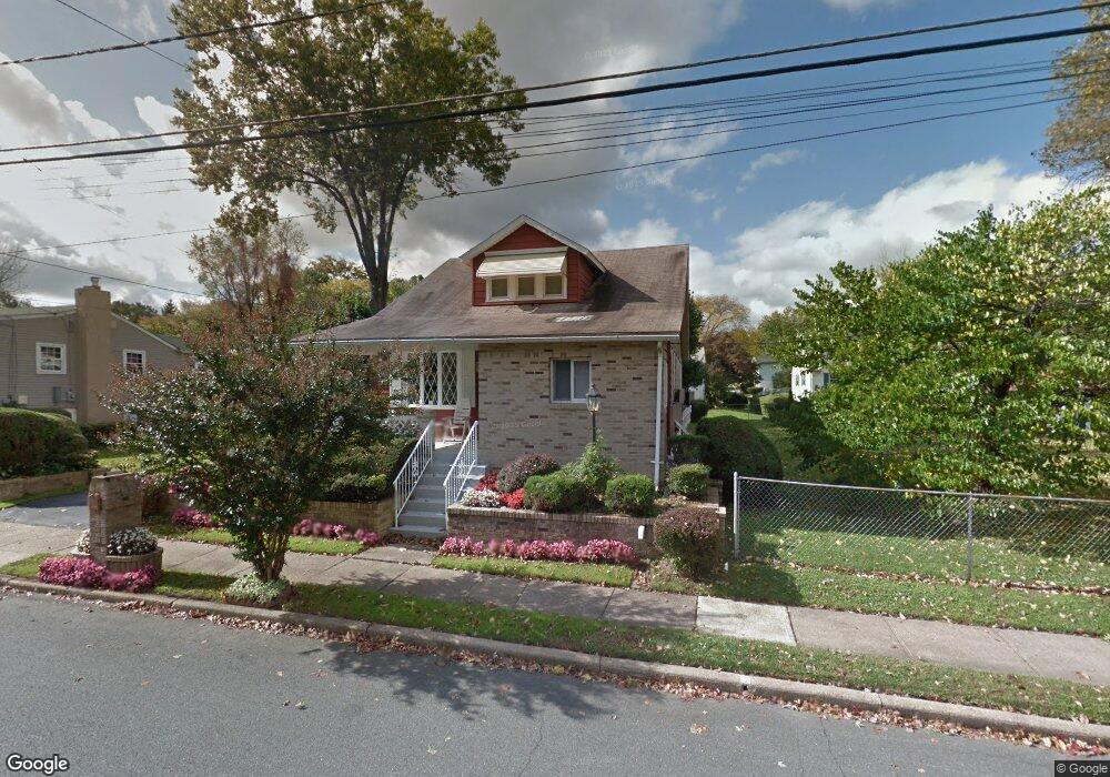
109 Browning Ave Ewing, NJ 08638
Braeburn Heights NeighborhoodEstimated Value: $201,544 - $436,000
Studio
--
Bath
1,902
Sq Ft
$186/Sq Ft
Est. Value
About This Home
This home is located at 109 Browning Ave, Ewing, NJ 08638 and is currently estimated at $354,636, approximately $186 per square foot. 109 Browning Ave is a home located in Mercer County with nearby schools including Ewing High School, Paul Robeson Charter School For The Humanities, and Trenton Stem-To-Civics Charter School.
Ownership History
Date
Name
Owned For
Owner Type
Purchase Details
Closed on
Feb 12, 2021
Sold by
Sanders Gloria
Bought by
Dunn Jalen L and Dunn Arlana
Current Estimated Value
Home Financials for this Owner
Home Financials are based on the most recent Mortgage that was taken out on this home.
Original Mortgage
$200,000
Outstanding Balance
$177,238
Interest Rate
2.7%
Mortgage Type
New Conventional
Estimated Equity
$177,398
Create a Home Valuation Report for This Property
The Home Valuation Report is an in-depth analysis detailing your home's value as well as a comparison with similar homes in the area
Home Values in the Area
Average Home Value in this Area
Purchase History
| Date | Buyer | Sale Price | Title Company |
|---|---|---|---|
| Dunn Jalen L | $250,000 | Title Evolution Llc |
Source: Public Records
Mortgage History
| Date | Status | Borrower | Loan Amount |
|---|---|---|---|
| Open | Dunn Jalen L | $200,000 |
Source: Public Records
Tax History
| Year | Tax Paid | Tax Assessment Tax Assessment Total Assessment is a certain percentage of the fair market value that is determined by local assessors to be the total taxable value of land and additions on the property. | Land | Improvement |
|---|---|---|---|---|
| 2025 | $2,163 | $55,000 | $54,000 | $1,000 |
| 2024 | $2,033 | $55,000 | $54,000 | $1,000 |
| 2023 | $2,033 | $55,000 | $54,000 | $1,000 |
| 2022 | $7,082 | $196,900 | $54,000 | $142,900 |
| 2021 | $6,909 | $196,900 | $54,000 | $142,900 |
| 2020 | $6,811 | $196,900 | $54,000 | $142,900 |
| 2019 | $6,634 | $196,900 | $54,000 | $142,900 |
| 2018 | $6,507 | $123,200 | $36,600 | $86,600 |
| 2017 | $6,659 | $123,200 | $36,600 | $86,600 |
| 2016 | $6,569 | $123,200 | $36,600 | $86,600 |
| 2015 | $6,482 | $123,200 | $36,600 | $86,600 |
| 2014 | $6,464 | $123,200 | $36,600 | $86,600 |
Source: Public Records
Map
Nearby Homes
- 140 Crescent Ave
- 200 Upland Ave
- 40 Arden Ave
- 104 King Ave
- 100 Carnine Ave
- 161 Louisiana Ave
- 124 Hawthorne Ave
- 16 Bittersweet Rd
- 24 Keswick Ave
- 56 Ridgewood Ave
- 50 Groveland Ave
- 42 Running Brook Rd
- 23 Sundew Dr
- 41 Poland St
- 27 Blossom Dr
- 20 Steinway Ave
- 7 Mabel St
- 91 Groveland Ave
- 20 Running Brook Rd
- 27 Walton Ave
- 99 Browning Ave
- 206 Browning Ave
- 18 Saint Paul Ave
- 24 Saint Paul Ave
- 97 Browning Ave
- 110 Browning Ave
- 30 Saint Paul Ave
- 100 Browning Ave
- 94 Browning Ave
- 116 Browning Ave
- 121 Browning Ave
- 40 Saint Paul Ave
- 138 Somerset St
- 160 Somerset St
- 170 Upland Ave
- 21 Brattle Ave
- 171 Upland Ave
- 46 Saint Paul Ave
- 129 Browning Ave
- 170 Somerset St
Your Personal Tour Guide
Ask me questions while you tour the home.