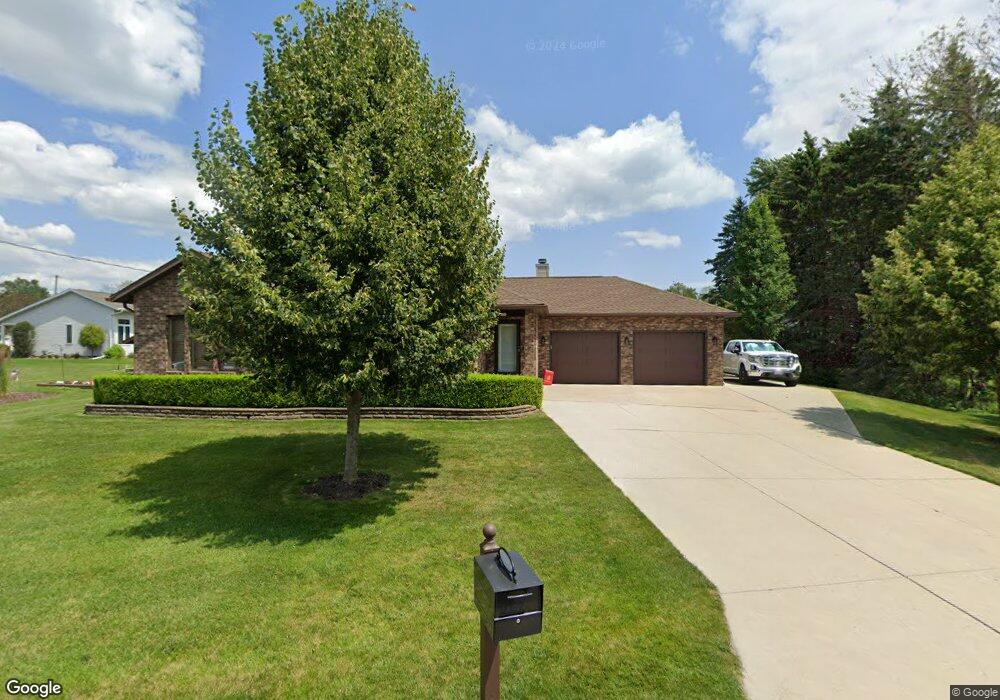
109 Carrie Ln Manitowoc, WI 54220
Estimated Value: $323,000 - $382,000
About This Home
This home is located at 109 Carrie Ln, Manitowoc, WI 54220 and is currently estimated at $352,933, approximately $202 per square foot. 109 Carrie Ln is a home located in Manitowoc County with nearby schools including Riverview Elementary School, Wilson Middle School, and Lincoln High School.
Ownership History
We collect this data history from publicly available records. To have your information removed, we recommend requesting removal directly through your county’s website.
Purchase Details
Home Financials for this Owner
Home Financials are based on the most recent Mortgage that was taken out on this home.Home Values in the Area
Average Home Value in this Area
Purchase History
We collect this data history from publicly available records. To have your information removed, we recommend requesting removal directly through your county’s website.
| Date | Buyer | Sale Price | Title Company |
|---|---|---|---|
| $182,000 | None Available |
Mortgage History
We collect this data history from publicly available records. To have your information removed, we recommend requesting removal directly through your county’s website.
| Date | Status | Borrower | Loan Amount |
|---|---|---|---|
| Open | $172,900 |
Tax History
We collect this data history from publicly available records. To have your information removed, we recommend requesting removal directly through your county’s website.
| Year | Tax Paid | Tax Assessment Tax Assessment Total Assessment is a certain percentage of the fair market value that is determined by local assessors to be the total taxable value of land and additions on the property. | Land | Improvement |
|---|---|---|---|---|
| 2025 | $5,699 | $386,500 | $30,500 | $356,000 |
| 2024 | $5,168 | $305,700 | $27,800 | $277,900 |
| 2023 | $4,765 | $305,700 | $27,800 | $277,900 |
| 2022 | $3,784 | $205,100 | $27,800 | $177,300 |
| 2021 | $3,808 | $205,100 | $27,800 | $177,300 |
| 2020 | $3,908 | $192,500 | $27,800 | $164,700 |
| 2019 | $3,860 | $192,500 | $27,800 | $164,700 |
| 2018 | $3,789 | $192,500 | $27,800 | $164,700 |
| 2017 | $3,732 | $192,500 | $27,800 | $164,700 |
| 2016 | $3,873 | $192,500 | $27,800 | $164,700 |
| 2015 | $3,979 | $192,500 | $27,800 | $164,700 |
| 2014 | -- | $192,500 | $27,800 | $164,700 |
| 2013 | $3,921 | $192,500 | $27,800 | $164,700 |
Map
- 4564 Broadway St
- 4310 Broadway St
- 4721 W Whitetail Ct
- 4250 Rock Ct
- 941 S 41st St
- 4326 Michigan Ave
- lot 1 LYG E Hwy Q-C
- 5177 Catalina Ct
- 921 Raton Ct
- 904 Glenview Dr
- 1035 N 43rd St
- 3601 Michigan Ave
- 3718 Shepherd Ln
- 3722 MacKert St
- 611 S 32nd St
- 625 S 32nd St
- 956 Circle Dr
- 501 S 30th St
- 3810 Calumet Ave
- 1140 Tanglewood Rd
- 104 Carrie Ln
- 101 Carrie Ln
- 110 Carrie Ln
- 116 Carrie Ln
- 4513 Harvest Cir
- 4517 Harvest Cir
- 4511 Harvest Cir
- 216 Harvest Ct
- 212 Harvest Ct
- 224 Harvest Ct
- 204 Harvest Ct
- 207 Harvest Ct
- 203 Harvest Ct
- 4512 Harvest Cir
- 4508 Harvest Cir
- 4514 Harvest Cir
- 4506 Harvest Cir
- 4516 Harvest Cir
- 325 Harvest Ct
- 211 Harvest Ct
Ask me questions while you tour the home.