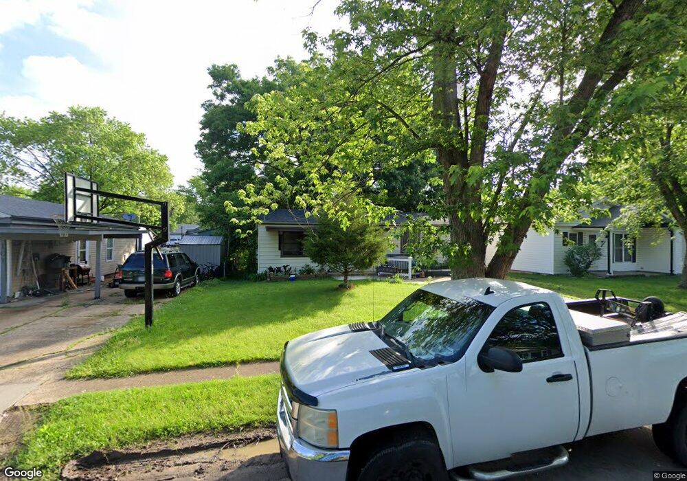
109 Cedar Ridge Dr Pacific, MO 63069
Estimated Value: $151,000 - $186,309
3
Beds
2
Baths
960
Sq Ft
$179/Sq Ft
Est. Value
About This Home
This home is located at 109 Cedar Ridge Dr, Pacific, MO 63069 and is currently estimated at $171,770, approximately $178 per square foot. 109 Cedar Ridge Dr is a home located in Franklin County with nearby schools including Pacific High School and St Bridget Elementary School.
Ownership History
Date
Name
Owned For
Owner Type
Purchase Details
Closed on
Oct 17, 2025
Sold by
Gargiula And Katelyn Gargiula Revocable and Gargiula Nicholas
Bought by
Schaeffer Brenden
Current Estimated Value
Purchase Details
Closed on
Feb 16, 2024
Sold by
Covert Rosalie D
Bought by
Covert Rosalie D and Covert Charles R
Purchase Details
Closed on
Oct 15, 2010
Sold by
Secretary Of Hud
Bought by
Covert Rosalie D
Home Financials for this Owner
Home Financials are based on the most recent Mortgage that was taken out on this home.
Original Mortgage
$43,700
Interest Rate
4.41%
Mortgage Type
New Conventional
Purchase Details
Closed on
Feb 16, 2010
Sold by
Kozeny & Mccubbin Lc
Bought by
Secretary Of Hud
Purchase Details
Closed on
Nov 28, 2005
Sold by
Valentine Tim and Valentine Elaine
Bought by
Keiser Dwayne and Keiser Daimee
Home Financials for this Owner
Home Financials are based on the most recent Mortgage that was taken out on this home.
Original Mortgage
$89,900
Interest Rate
9.44%
Mortgage Type
Assumption
Create a Home Valuation Report for This Property
The Home Valuation Report is an in-depth analysis detailing your home's value as well as a comparison with similar homes in the area
Home Values in the Area
Average Home Value in this Area
Purchase History
| Date | Buyer | Sale Price | Title Company |
|---|---|---|---|
| Schaeffer Brenden | -- | None Listed On Document | |
| Covert Rosalie D | -- | None Listed On Document | |
| Covert Rosalie D | $54,625 | None Available | |
| Secretary Of Hud | $124,447 | None Available | |
| Keiser Dwayne | -- | None Available |
Source: Public Records
Mortgage History
| Date | Status | Borrower | Loan Amount |
|---|---|---|---|
| Previous Owner | Covert Rosalie D | $43,700 | |
| Previous Owner | Keiser Dwayne | $89,900 |
Source: Public Records
Tax History
| Year | Tax Paid | Tax Assessment Tax Assessment Total Assessment is a certain percentage of the fair market value that is determined by local assessors to be the total taxable value of land and additions on the property. | Land | Improvement |
|---|---|---|---|---|
| 2025 | $1,575 | $20,902 | $0 | $0 |
| 2024 | $1,575 | $18,878 | $0 | $0 |
| 2023 | $1,426 | $18,878 | $0 | $0 |
| 2022 | $1,222 | $17,605 | $0 | $0 |
| 2021 | $1,216 | $17,605 | $0 | $0 |
| 2020 | $1,127 | $16,312 | $0 | $0 |
| 2019 | $1,126 | $16,312 | $0 | $0 |
| 2018 | $1,059 | $15,027 | $0 | $0 |
| 2017 | $1,052 | $15,027 | $0 | $0 |
| 2016 | $1,096 | $15,510 | $0 | $0 |
| 2015 | $1,066 | $15,510 | $0 | $0 |
| 2014 | $1,056 | $15,624 | $0 | $0 |
Source: Public Records
Map
Nearby Homes
- 69 Cedar Ledge
- 668 #12 Highlands Ct Ct
- 667 #9 Highlands Rd
- 652 Ct
- 6827 Eagles Landing Ct
- 926 Wisdom Ln
- 2326 Silver Lake Estates Dr
- 6828 Eagles View Dr
- 2235 Silver Lake Estates Dr
- 122 Winter Wheat Trail
- 1003 Mitchell Way
- 1719 W Hawthorne Dr
- 1796 Meade Ct
- 144 Winter Wheat Trail
- 127 Phelan St
- 1745 Lake Meade Dr
- 1829 Ridge Ln
- 1632 Westlake Cir
- 707 S Hawthorne Dr
- 1505 Cypress Dr
- 111 Cedar Ridge Dr
- 107 Cedar Ridge Dr
- 113 Cedar Ridge Dr
- 62 Cedar Croft Dr
- 105 Cedar Ridge Dr
- 60 Cedar Croft Dr
- 58 Cedar Croft Dr
- 112 Cedar Ridge Dr
- 59 Cedar Dr
- 110 Cedar Ridge Dr
- 64 Cedar Croft Dr
- 100 Cedar Ridge Dr
- 114 Cedar Ridge Dr
- 61 Cedar Dr
- 116 Cedar Ridge Dr
- 66 Cedar Croft Dr
- 56 Cedar Croft Dr
- 106 Cedar Ridge Dr
- 98 Cedar Ridge Dr
- 118 Cedar Ridge Dr
Your Personal Tour Guide
Ask me questions while you tour the home.