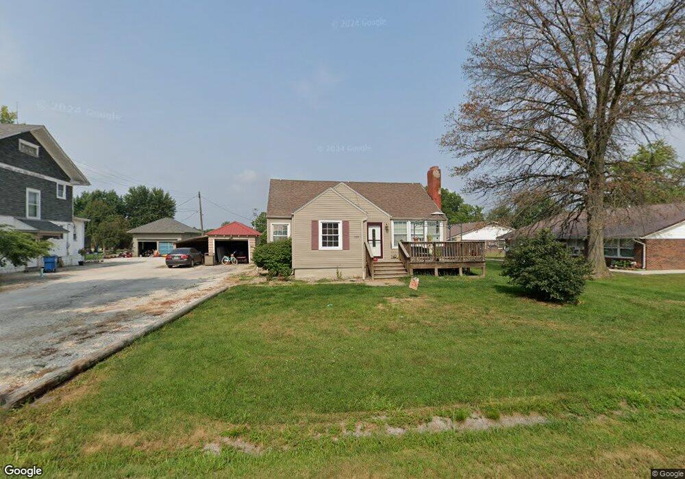
109 N 8th St La Belle, MO 63447
Estimated Value: $69,228 - $88,000
Studio
--
Bath
1,152
Sq Ft
$70/Sq Ft
Est. Value
About This Home
This home is located at 109 N 8th St, La Belle, MO 63447 and is currently estimated at $80,307, approximately $69 per square foot. 109 N 8th St is a home with nearby schools including Highland Elementary School and Highland Junior/Senior High School.
Ownership History
Date
Name
Owned For
Owner Type
Purchase Details
Closed on
Jun 24, 2022
Sold by
Lonnie Benner
Bought by
Benner Kelsee
Current Estimated Value
Home Financials for this Owner
Home Financials are based on the most recent Mortgage that was taken out on this home.
Original Mortgage
$60,000
Outstanding Balance
$56,834
Interest Rate
5.25%
Mortgage Type
New Conventional
Estimated Equity
$23,473
Purchase Details
Closed on
Apr 20, 2018
Sold by
Hoffman Dustin and Hoffman Patricia
Bought by
Benner Lonnie
Home Financials for this Owner
Home Financials are based on the most recent Mortgage that was taken out on this home.
Original Mortgage
$45,000
Interest Rate
4.46%
Mortgage Type
New Conventional
Create a Home Valuation Report for This Property
The Home Valuation Report is an in-depth analysis detailing your home's value as well as a comparison with similar homes in the area
Purchase History
| Date | Buyer | Sale Price | Title Company |
|---|---|---|---|
| Benner Kelsee | -- | None Listed On Document | |
| Benner Lonnie | -- | None Available |
Source: Public Records
Mortgage History
| Date | Status | Borrower | Loan Amount |
|---|---|---|---|
| Open | Benner Kelsee | $60,000 | |
| Previous Owner | Benner Lonnie | $45,000 |
Source: Public Records
Tax History
| Year | Tax Paid | Tax Assessment Tax Assessment Total Assessment is a certain percentage of the fair market value that is determined by local assessors to be the total taxable value of land and additions on the property. | Land | Improvement |
|---|---|---|---|---|
| 2025 | $416 | $6,720 | $800 | $5,920 |
| 2024 | $363 | $5,920 | $710 | $5,210 |
| 2023 | $362 | $5,920 | $710 | $5,210 |
| 2022 | $362 | $5,920 | $0 | $0 |
| 2021 | $361 | $5,920 | $0 | $0 |
| 2020 | $364 | $5,920 | $0 | $0 |
| 2019 | $321 | $5,920 | $0 | $0 |
| 2018 | $364 | $6,750 | $710 | $6,040 |
| 2017 | $343 | $6,750 | $710 | $6,040 |
| 2016 | $324 | $6,160 | $710 | $5,450 |
| 2015 | -- | $6,160 | $710 | $5,450 |
| 2013 | -- | $6,160 | $0 | $0 |
Source: Public Records
Map
Nearby Homes
- 301 Columbus St
- 202 Congress St
- 10 State Route K
- 145th Avenue
- 9 Basswood St
- 106 S Newark St
- xx E Main St
- 105 S Cherry St
- 405 E Main St
- 19503 State Highway Y
- 19613 State Highway Y
- 00 Elvis Ave
- 50787 Highway V
- 22 Cr 228
- 58501 Skylark St
- 211 W Holmes St
- 12 State Route E
- 161 State Route E
- 10 State Route E
- 9 Cr 261
Your Personal Tour Guide
Ask me questions while you tour the home.