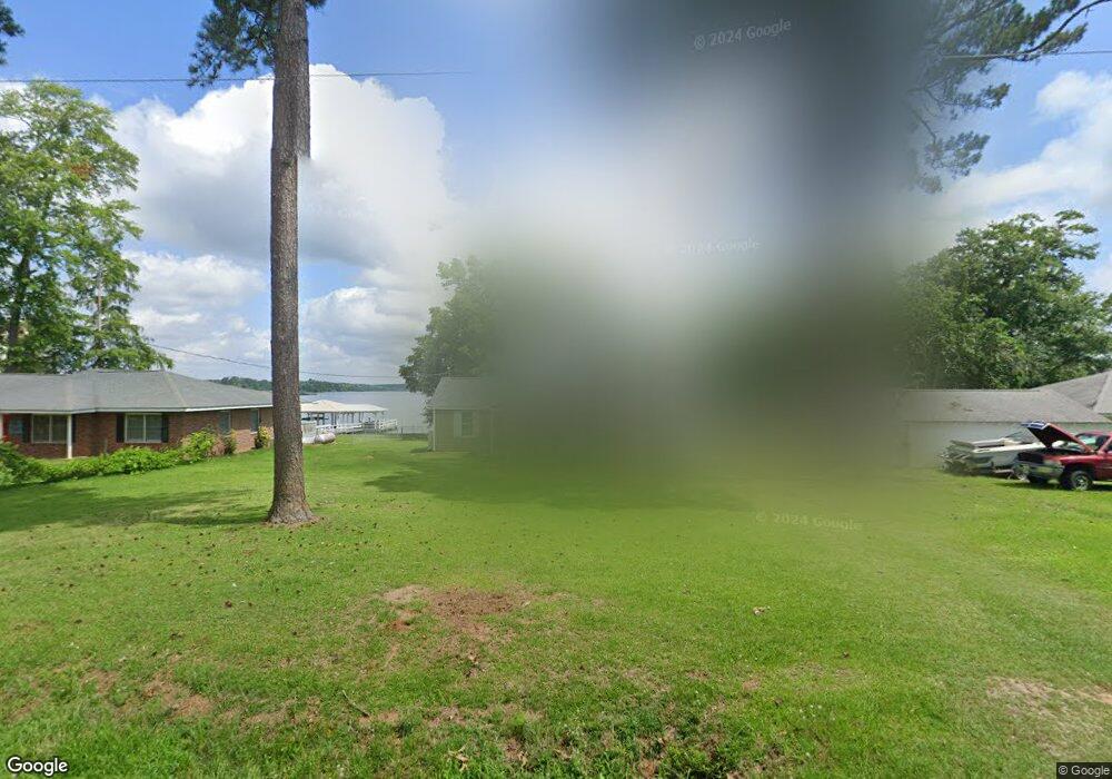
1090 Flournoy Rd Warwick, GA 31796
Estimated Value: $476,000 - $708,000
3
Beds
1
Bath
2,043
Sq Ft
$273/Sq Ft
Est. Value
About This Home
This home is located at 1090 Flournoy Rd, Warwick, GA 31796 and is currently estimated at $557,200, approximately $272 per square foot. 1090 Flournoy Rd is a home located in Worth County with nearby schools including Worth County Primary School, Worth County Elementary School, and Worth County Middle School.
Ownership History
Date
Name
Owned For
Owner Type
Purchase Details
Closed on
Nov 29, 2016
Sold by
Pamela M
Bought by
Newsome Edward Clinton
Current Estimated Value
Purchase Details
Closed on
Jul 31, 2012
Sold by
Newsome Edward C
Bought by
Newsome Pamela M
Home Financials for this Owner
Home Financials are based on the most recent Mortgage that was taken out on this home.
Original Mortgage
$172,500
Interest Rate
3.65%
Mortgage Type
New Conventional
Purchase Details
Closed on
Nov 1, 2011
Sold by
Newsome Lake Properties Llc
Bought by
Newsome Edward C
Purchase Details
Closed on
Feb 23, 2005
Sold by
Roberts Carol N
Bought by
Newsome Lake Properties Llc
Create a Home Valuation Report for This Property
The Home Valuation Report is an in-depth analysis detailing your home's value as well as a comparison with similar homes in the area
Purchase History
| Date | Buyer | Sale Price | Title Company |
|---|---|---|---|
| Newsome Edward Clinton | -- | -- | |
| Newsome Pamela M | -- | -- | |
| Newsome Edward C | $230,000 | -- | |
| Newsome Lake Properties Llc | -- | -- |
Source: Public Records
Mortgage History
| Date | Status | Borrower | Loan Amount |
|---|---|---|---|
| Previous Owner | Newsome Pamela M | $172,500 |
Source: Public Records
Tax History
| Year | Tax Paid | Tax Assessment Tax Assessment Total Assessment is a certain percentage of the fair market value that is determined by local assessors to be the total taxable value of land and additions on the property. | Land | Improvement |
|---|---|---|---|---|
| 2025 | $4,020 | $174,258 | $111,300 | $62,958 |
| 2024 | $4,664 | $153,931 | $99,125 | $54,806 |
| 2023 | $4,664 | $153,931 | $99,125 | $54,806 |
| 2022 | $4,664 | $153,931 | $99,125 | $54,806 |
| 2021 | $4,643 | $153,931 | $99,125 | $54,806 |
| 2020 | $3,996 | $131,109 | $99,125 | $31,984 |
| 2019 | $3,996 | $131,109 | $99,125 | $31,984 |
| 2018 | $3,646 | $127,269 | $99,125 | $28,144 |
| 2017 | $3,646 | $127,269 | $99,125 | $28,144 |
| 2016 | $3,646 | $127,269 | $99,125 | $28,144 |
| 2015 | $3,653 | $123,597 | $99,125 | $24,472 |
| 2014 | $3,653 | $127,268 | $99,125 | $28,144 |
| 2013 | -- | $127,268 | $99,125 | $28,144 |
| 2012 | -- | $92,000 | $71,654 | $20,345 |
Source: Public Records
Map
Nearby Homes
- 1022 Flournoy Rd
- 508 Lakeshore Dr
- 888 Flournoy Rd
- 888 Flournoy Rd Unit 52
- 782 Spring Creek Rd
- 480 Spring Creek Rd
- 636 Spring Creek Rd
- 432 Lakeshore Dr
- 167 Cove Rd
- 300 HWY Georgia-Florida Pkwy
- Lot 15 Georgia-Florida Pkwy
- 144 W Railroad St
- 0 Washington St SE
- 484 Lakeshore Way
- 0 Swift Creek Rd Unit 140225
- 198 Swift Creek Rd
- 102 Perch Dr
- 0 Arabi Warwick Rd
- 322 Lakeshore Way
- 676 Cork Ferry Rd
- 1098 Flournoy Rd
- 1080 Flournoy Rd
- 1104 Flournoy Rd
- 1078 Flournoy Rd
- 1076 Flournoy Rd
- 1074 Flournoy Rd
- 1072 Flournoy Rd
- 1066 Flournoy Rd
- 1064 Flournoy Rd
- 1052 Flournoy Rd
- 1050 Flournoy Rd
- 1044 Flournoy Rd
- 1038 Flournoy Rd
- 1030 Flournoy Rd
- 1010 Flournoy Rd
- 1012 Flournoy Rd
- 1008 Flournoy Rd
- 628 Spring Creek Rd
- 618 Spring Creek Rd
- 626 Spring Creek Rd
Your Personal Tour Guide
Ask me questions while you tour the home.