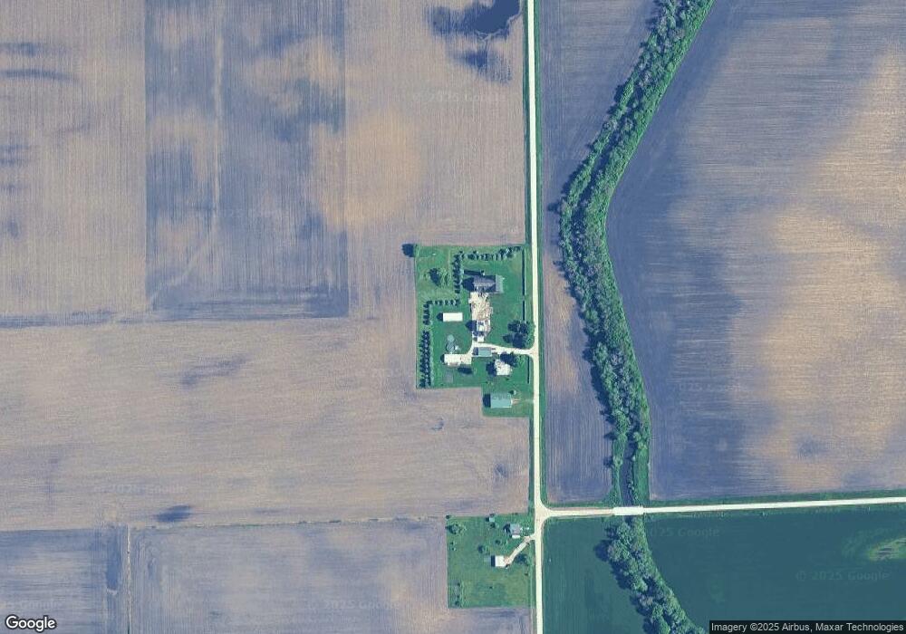
1091 Benson Rd Leland, IL 60531
Estimated Value: $237,058 - $482,000
4
Beds
2
Baths
--
Sq Ft
4.04
Acres Lot
About This Home
This home is located at 1091 Benson Rd, Leland, IL 60531 and is currently estimated at $346,265. 1091 Benson Rd is a home located in DeKalb County with nearby schools including Leland Elementary School and Leland High School.
Ownership History
Date
Name
Owned For
Owner Type
Purchase Details
Closed on
Dec 20, 2015
Sold by
Maxwell Trust
Bought by
Maxwell Aaron L
Current Estimated Value
Home Financials for this Owner
Home Financials are based on the most recent Mortgage that was taken out on this home.
Original Mortgage
$170,940
Outstanding Balance
$132,588
Interest Rate
3.87%
Mortgage Type
FHA
Estimated Equity
$213,677
Purchase Details
Closed on
Jun 10, 2009
Sold by
Maxwell Gary W
Bought by
Maxwell Trust
Purchase Details
Closed on
Nov 14, 2006
Sold by
Larson Trust
Bought by
Maxwell Gary W and Maxwell Le La Lu
Create a Home Valuation Report for This Property
The Home Valuation Report is an in-depth analysis detailing your home's value as well as a comparison with similar homes in the area
Purchase History
We collect this data history from publicly available records. To have your information removed, we recommend requesting removal directly through your county’s website.
| Date | Buyer | Sale Price | Title Company |
|---|---|---|---|
| Maxwell Aaron L | $200,000 | -- | |
| Maxwell Trust | -- | -- | |
| Maxwell Gary W | $265,000 | -- |
Source: Public Records
Mortgage History
We collect this data history from publicly available records. To have your information removed, we recommend requesting removal directly through your county’s website.
| Date | Status | Borrower | Loan Amount |
|---|---|---|---|
| Open | Maxwell Aaron L | $170,940 |
Source: Public Records
Tax History
| Year | Tax Paid | Tax Assessment Tax Assessment Total Assessment is a certain percentage of the fair market value that is determined by local assessors to be the total taxable value of land and additions on the property. | Land | Improvement |
|---|---|---|---|---|
| 2025 | $5,455 | $79,467 | $25,632 | $53,835 |
| 2024 | $5,177 | $73,512 | $23,711 | $49,801 |
| 2023 | $5,073 | $68,174 | $21,989 | $46,185 |
| 2022 | $5,073 | $66,105 | $21,322 | $44,783 |
| 2021 | $4,773 | $62,298 | $20,094 | $42,204 |
| 2020 | $4,395 | $57,490 | $19,039 | $38,451 |
| 2019 | $4,337 | $55,332 | $18,324 | $37,008 |
| 2018 | $4,160 | $53,020 | $17,558 | $35,462 |
| 2017 | $4,060 | $45,095 | $16,502 | $28,593 |
| 2016 | $3,975 | $43,311 | $15,849 | $27,462 |
| 2015 | -- | $32,455 | $6,487 | $25,968 |
| 2014 | -- | $32,198 | $6,404 | $25,794 |
| 2013 | -- | $32,767 | $6,414 | $26,353 |
Source: Public Records
Map
Nearby Homes
- 4698 E 17th Rd
- 144 E Grant St
- 200 N Liberty St
- 220 E North St
- 245 N Cedar St
- 460 E Railroad Ave
- 2151 U S 34
- 2012 N 45th Rd
- 1386 N 4535th Rd
- 1372 N 4535th Rd
- 1381 N 4535th Rd
- 1758 N 44th Rd
- 209 E Brown St
- 917 Sunset Ave
- 220 N East St
- 330 Church St
- 302 Oak St
- 405 S Grant St
- 302 S Ottawa St
- 407 S Ottawa St
Your Personal Tour Guide
Ask me questions while you tour the home.