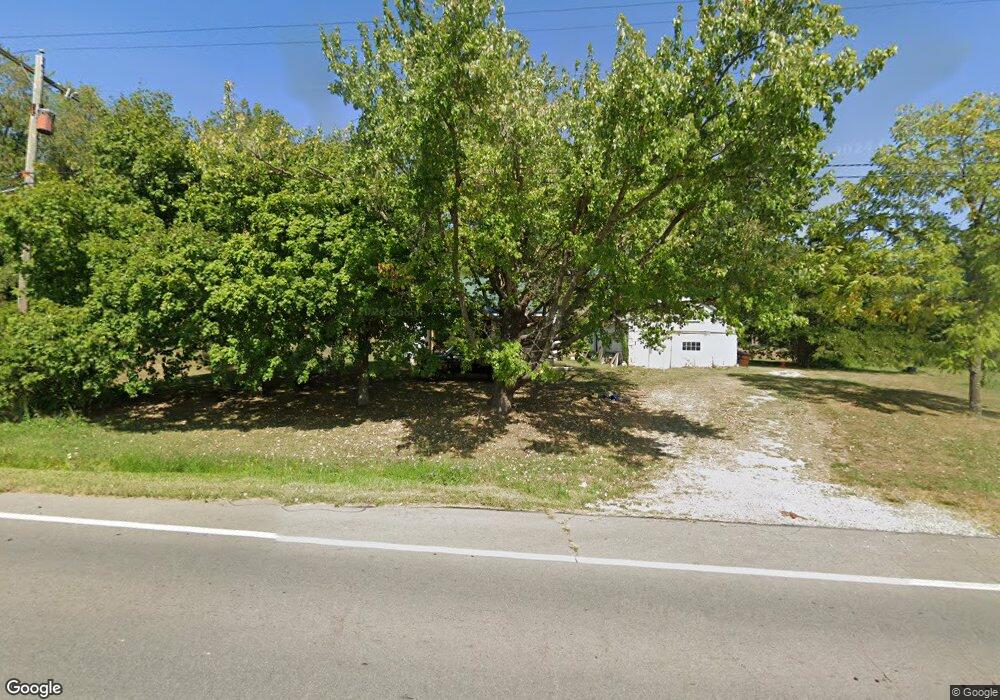
10948 State Route 93 Jackson, OH 45640
Estimated Value: $145,000 - $249,000
3
Beds
1
Bath
1,305
Sq Ft
$143/Sq Ft
Est. Value
About This Home
This home is located at 10948 State Route 93, Jackson, OH 45640 and is currently estimated at $187,178, approximately $143 per square foot. 10948 State Route 93 is a home located in Jackson County with nearby schools including Jackson High School.
Ownership History
Date
Name
Owned For
Owner Type
Purchase Details
Closed on
Jun 12, 2025
Sold by
Burchett Glen
Bought by
Ferris Jane A
Current Estimated Value
Purchase Details
Closed on
Feb 5, 2025
Sold by
Taylor Jack L and Taylor Carolyn
Bought by
Burchett Glen
Purchase Details
Closed on
Jul 24, 2014
Sold by
Pastor Denise and Taylor Jack L
Bought by
Eades Bruce and Eades Dorothy
Purchase Details
Closed on
Jun 11, 2002
Sold by
Taylor Ivan L
Bought by
Pastor Denise
Purchase Details
Closed on
Apr 14, 1995
Sold by
Taylor Ivan L
Bought by
Taylor Ivan L
Create a Home Valuation Report for This Property
The Home Valuation Report is an in-depth analysis detailing your home's value as well as a comparison with similar homes in the area
Purchase History
We collect this data history from publicly available records. To have your information removed, we recommend requesting removal directly through your county’s website.
| Date | Buyer | Sale Price | Title Company |
|---|---|---|---|
| Ferris Jane A | $5,000 | None Listed On Document | |
| Burchett Glen | -- | Bestitle Agency | |
| Burchett Glen | -- | Bestitle Agency | |
| Eades Bruce | $5,000 | None Available | |
| Pastor Denise | -- | -- | |
| Taylor Ivan L | -- | -- |
Source: Public Records
Tax History
| Year | Tax Paid | Tax Assessment Tax Assessment Total Assessment is a certain percentage of the fair market value that is determined by local assessors to be the total taxable value of land and additions on the property. | Land | Improvement |
|---|---|---|---|---|
| 2025 | $1,025 | $30,110 | $6,310 | $23,800 |
| 2024 | $698 | $30,110 | $6,310 | $23,800 |
| 2023 | $733 | $30,110 | $6,310 | $23,800 |
| 2022 | $1,139 | $23,770 | $5,820 | $17,950 |
| 2021 | $566 | $23,770 | $5,820 | $17,950 |
| 2020 | $569 | $23,770 | $5,820 | $17,950 |
| 2019 | $495 | $21,620 | $5,300 | $16,320 |
| 2018 | $476 | $21,620 | $5,300 | $16,320 |
| 2017 | $455 | $21,620 | $5,300 | $16,320 |
| 2016 | $404 | $20,050 | $5,720 | $14,330 |
| 2015 | $406 | $20,050 | $5,720 | $14,330 |
| 2013 | $420 | $20,520 | $6,830 | $13,690 |
| 2012 | $426 | $20,520 | $6,830 | $13,690 |
Source: Public Records
Map
Nearby Homes
- 1610 Erwin Rd
- 195 Roosevelt Rd
- 1541 Standpipe Rd
- 404 Ohio 327
- 434 Ohio 327
- 56 Roscoe Rd
- 1701 Dixon Run Rd
- 9993 Four Mile Rd
- 10 Yellow Delicious Dr
- 2102 Keystone Furnace Rd
- 13 Pleasant View Dr
- 13 Pleasantview Dr
- 12072 Ohio 139
- 1951 Mayhew Rd
- 0 Keystone Furnace Rd Unit 11604343
- 119 Lewis St
- 600 Acy Ave
- 2246 Cutlip Rd
- 0 Industry Dr
- 125 Trenton Ave
- 10 Airport Ln
- 93 East St
- 100 Airport Ln
- 11045 State Route 93
- 201 Airport Ln
- 11062 State Route 93
- 11063 State Route 93
- 200 Airport Ln
- 1282 Keystone Station Rd
- 300 Airport Ln
- 310 Airport Ln
- 10744 State Route 93
- 1010 Keystone Station Rd
- 1281 Keystone Station Rd
- 0 Keystone Station Rd
- 1404 Keystone Station Rd
- 961 Keystone Station Rd
- 10597 State Route 93
- 1542 Keystone Station Rd
- 10481 State Route 93
Your Personal Tour Guide
Ask me questions while you tour the home.