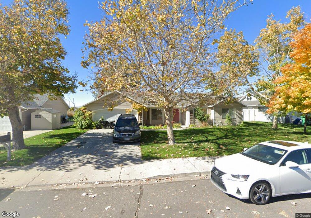
1095 N 3080 W Provo, UT 84601
Lakeview NeighborhoodEstimated Value: $489,700 - $526,000
4
Beds
3
Baths
1,740
Sq Ft
$291/Sq Ft
Est. Value
About This Home
This home is located at 1095 N 3080 W, Provo, UT 84601 and is currently estimated at $505,675, approximately $290 per square foot. 1095 N 3080 W is a home located in Utah County with nearby schools including Lakeview School, Dixon Middle School, and Provo High School.
Ownership History
Date
Name
Owned For
Owner Type
Purchase Details
Closed on
Feb 25, 1997
Sold by
Hunter R P
Bought by
Burton Todd M and Burton Debra M
Current Estimated Value
Home Financials for this Owner
Home Financials are based on the most recent Mortgage that was taken out on this home.
Original Mortgage
$120,800
Outstanding Balance
$14,805
Interest Rate
7.86%
Estimated Equity
$490,870
Purchase Details
Closed on
Aug 16, 1996
Sold by
Hunter R P
Bought by
Burton Todd M and Burton Debra M
Home Financials for this Owner
Home Financials are based on the most recent Mortgage that was taken out on this home.
Original Mortgage
$63,400
Interest Rate
8.23%
Create a Home Valuation Report for This Property
The Home Valuation Report is an in-depth analysis detailing your home's value as well as a comparison with similar homes in the area
Home Values in the Area
Average Home Value in this Area
Purchase History
| Date | Buyer | Sale Price | Title Company |
|---|---|---|---|
| Burton Todd M | -- | -- | |
| Burton Todd M | -- | -- |
Source: Public Records
Mortgage History
| Date | Status | Borrower | Loan Amount |
|---|---|---|---|
| Open | Burton Todd M | $120,800 | |
| Previous Owner | Burton Todd M | $63,400 |
Source: Public Records
Tax History
| Year | Tax Paid | Tax Assessment Tax Assessment Total Assessment is a certain percentage of the fair market value that is determined by local assessors to be the total taxable value of land and additions on the property. | Land | Improvement |
|---|---|---|---|---|
| 2025 | $2,390 | $241,505 | -- | -- |
| 2024 | $2,390 | $235,290 | $0 | $0 |
| 2023 | $2,340 | $227,040 | $0 | $0 |
| 2022 | $2,354 | $230,340 | $0 | $0 |
| 2021 | $1,867 | $318,700 | $91,000 | $227,700 |
| 2020 | $1,811 | $289,700 | $82,700 | $207,000 |
| 2019 | $1,643 | $273,400 | $82,700 | $190,700 |
| 2018 | $1,452 | $245,000 | $79,200 | $165,800 |
| 2017 | $1,372 | $127,215 | $0 | $0 |
| 2016 | $1,305 | $112,805 | $0 | $0 |
| 2015 | $1,131 | $98,780 | $0 | $0 |
| 2014 | -- | $94,600 | $0 | $0 |
Source: Public Records
Map
Nearby Homes
Your Personal Tour Guide
Ask me questions while you tour the home.