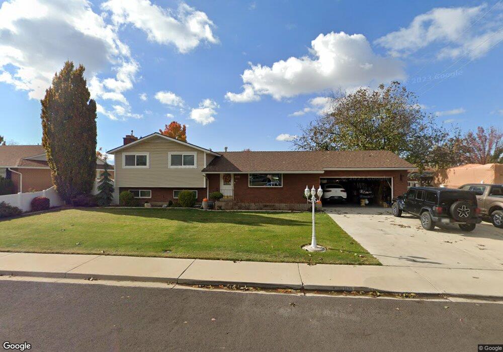
1095 N 700 W Orem, UT 84057
Bonneville NeighborhoodEstimated Value: $531,046 - $1,491,000
2
Beds
3
Baths
1,259
Sq Ft
$645/Sq Ft
Est. Value
About This Home
This home is located at 1095 N 700 W, Orem, UT 84057 and is currently estimated at $812,012, approximately $644 per square foot. 1095 N 700 W is a home located in Utah County with nearby schools including Bonneville Elementary School, Orem Junior High School, and Timpanogos High School.
Ownership History
Date
Name
Owned For
Owner Type
Purchase Details
Closed on
Aug 12, 2016
Sold by
Anderson Maynard and Anderson Marjean
Bought by
Anderson Maynard and Anderson Marjean
Current Estimated Value
Purchase Details
Closed on
Jan 28, 2008
Sold by
Anderson Maynard D and Anderson Marjean
Bought by
Anderson Maynard and Anderson Marjean
Home Financials for this Owner
Home Financials are based on the most recent Mortgage that was taken out on this home.
Original Mortgage
$202,000
Interest Rate
6.09%
Mortgage Type
New Conventional
Create a Home Valuation Report for This Property
The Home Valuation Report is an in-depth analysis detailing your home's value as well as a comparison with similar homes in the area
Home Values in the Area
Average Home Value in this Area
Purchase History
We collect this data history from publicly available records. To have your information removed, we recommend requesting removal directly through your county’s website.
| Date | Buyer | Sale Price | Title Company |
|---|---|---|---|
| Anderson Maynard | -- | None Available | |
| Anderson Maynard | -- | Monument Title Insurance I |
Source: Public Records
Mortgage History
We collect this data history from publicly available records. To have your information removed, we recommend requesting removal directly through your county’s website.
| Date | Status | Borrower | Loan Amount |
|---|---|---|---|
| Closed | Anderson Maynard | $202,000 |
Source: Public Records
Tax History
| Year | Tax Paid | Tax Assessment Tax Assessment Total Assessment is a certain percentage of the fair market value that is determined by local assessors to be the total taxable value of land and additions on the property. | Land | Improvement |
|---|---|---|---|---|
| 2025 | $2,005 | $271,150 | -- | -- |
| 2024 | $2,005 | $245,190 | $0 | $0 |
| 2023 | $1,829 | $240,405 | $0 | $0 |
| 2022 | $2,038 | $259,490 | $0 | $0 |
| 2021 | $1,897 | $365,900 | $170,600 | $195,300 |
| 2020 | $1,731 | $328,000 | $136,500 | $191,500 |
| 2019 | $1,574 | $310,200 | $136,500 | $173,700 |
| 2018 | $1,465 | $275,800 | $124,800 | $151,000 |
| 2017 | $1,422 | $143,495 | $0 | $0 |
| 2016 | $1,460 | $135,850 | $0 | $0 |
| 2015 | $1,346 | $118,415 | $0 | $0 |
| 2014 | $1,225 | $107,250 | $0 | $0 |
Source: Public Records
Map
Nearby Homes
- 652 W 1100 N
- 538 W 1120 N
- 1244 N 580 W
- 645 W 920 N
- 1226 N 900 W
- 1175 N 950 W
- 999 W 1100 N
- 1018 N 985 W Unit 501
- 983 W 1055 N Unit 812
- 418 W 1010 N
- 1030 N 995 W Unit 914
- 1015 N 995 W
- 527 W 1450 N
- 1004 N 1090 W Unit 203
- 1079 W 965 N Unit 402
- 1028 W 1375 N
- 487 W 1500 N
- 1545 N State St Unit 1
- 471 W 1500 N
- 1552 N 740 W
Your Personal Tour Guide
Ask me questions while you tour the home.