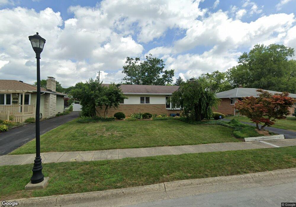
1098 Fordham Rd Columbus, OH 43224
Maize-Morse NeighborhoodEstimated Value: $292,234 - $330,000
About This Home
This home is located at 1098 Fordham Rd, Columbus, OH 43224 and is currently estimated at $310,059, approximately $212 per square foot. 1098 Fordham Rd is a home located in Franklin County with nearby schools including Maize Road Elementary School, Medina Middle School, and Mifflin High School.
Ownership History
We collect this data history from publicly available records. To have your information removed, we recommend requesting removal directly through your county’s website.
Purchase Details
Home Financials for this Owner
Home Financials are based on the most recent Mortgage that was taken out on this home.Purchase Details
Purchase Details
Home Financials for this Owner
Home Financials are based on the most recent Mortgage that was taken out on this home.Purchase Details
Home Values in the Area
Average Home Value in this Area
Purchase History
We collect this data history from publicly available records. To have your information removed, we recommend requesting removal directly through your county’s website.
| Date | Buyer | Sale Price | Title Company |
|---|---|---|---|
| -- | Leaders Title Agency | ||
| $68,000 | Nordic Titl | ||
| $135,800 | Talon Group | ||
| -- | -- |
Mortgage History
We collect this data history from publicly available records. To have your information removed, we recommend requesting removal directly through your county’s website.
| Date | Status | Borrower | Loan Amount |
|---|---|---|---|
| Open | $170,000 | ||
| Previous Owner | $108,600 |
Tax History
We collect this data history from publicly available records. To have your information removed, we recommend requesting removal directly through your county’s website.
| Year | Tax Paid | Tax Assessment Tax Assessment Total Assessment is a certain percentage of the fair market value that is determined by local assessors to be the total taxable value of land and additions on the property. | Land | Improvement |
|---|---|---|---|---|
| 2025 | $3,762 | $83,830 | $19,250 | $64,580 |
| 2024 | $3,762 | $83,830 | $19,250 | $64,580 |
| 2023 | $3,714 | $83,825 | $19,250 | $64,575 |
| 2022 | $2,779 | $53,590 | $7,880 | $45,710 |
| 2021 | $2,784 | $53,590 | $7,880 | $45,710 |
| 2020 | $2,788 | $53,590 | $7,880 | $45,710 |
| 2019 | $2,565 | $42,280 | $6,300 | $35,980 |
| 2018 | $2,527 | $42,280 | $6,300 | $35,980 |
| 2017 | $2,563 | $42,280 | $6,300 | $35,980 |
| 2016 | $2,748 | $41,480 | $5,950 | $35,530 |
| 2015 | $2,494 | $41,480 | $5,950 | $35,530 |
| 2014 | $2,500 | $41,480 | $5,950 | $35,530 |
| 2013 | $1,298 | $43,645 | $6,265 | $37,380 |
Map
- 1041 Loring Rd
- 1004 Marland Dr N
- 4553 Sandy Lane Rd
- 4459 Hartwell Rd
- 1266 Pershing Dr
- 4495 N 4th St
- 1146 Dechant Ct
- 1297 Shanley Dr
- 4464 Midvale Rd
- 4875 Ridgerun Dr
- 1340 Evaline Dr
- 1398 Matthias Dr
- 1451 Shanley Dr
- 4146 Maize Rd
- 1510 Matthias Dr
- 4141 Karl Rd Unit 310
- 4143 Karl Rd Unit 215
- 4143 Karl Rd Unit 314
- 4152 Glenmawr Ave
- 4117 Karl Rd Unit B302
- 1090 Fordham Rd
- 1106 Fordham Rd
- 1082 Fordham Rd
- 1103 Loring Rd
- 1114 Fordham Rd
- 1095 Loring Rd
- 1111 Loring Rd
- 1087 Loring Rd
- 1119 Loring Rd
- 1097 Fordham Rd
- 1074 Fordham Rd
- 1105 Fordham Rd
- 1089 Fordham Rd
- 1120 Fordham Rd
- 1081 Fordham Rd
- 1127 Loring Rd
- 1113 Fordham Rd
- 1066 Fordham Rd
- 1073 Fordham Rd
- 4571 Emslie Dr
Ask me questions while you tour the home.