11 Cove Side Dr Harpswell, ME 04079
Harpswell Neck NeighborhoodEstimated Value: $478,000 - $612,000
3
Beds
2
Baths
1,210
Sq Ft
$455/Sq Ft
Est. Value
About This Home
This home is located at 11 Cove Side Dr, Harpswell, ME 04079 and is currently estimated at $550,318, approximately $454 per square foot. 11 Cove Side Dr is a home located in Cumberland County with nearby schools including Mt Ararat High School.
Ownership History
Date
Name
Owned For
Owner Type
Purchase Details
Closed on
May 1, 2007
Sold by
Libby Lorna J and Yuille Carole A
Bought by
Bullis Barry B and Thompson Amanda C
Current Estimated Value
Home Financials for this Owner
Home Financials are based on the most recent Mortgage that was taken out on this home.
Original Mortgage
$250,000
Outstanding Balance
$147,626
Interest Rate
6.18%
Mortgage Type
Unknown
Estimated Equity
$402,692
Create a Home Valuation Report for This Property
The Home Valuation Report is an in-depth analysis detailing your home's value as well as a comparison with similar homes in the area
Home Values in the Area
Average Home Value in this Area
Purchase History
| Date | Buyer | Sale Price | Title Company |
|---|---|---|---|
| Bullis Barry B | -- | -- |
Source: Public Records
Mortgage History
| Date | Status | Borrower | Loan Amount |
|---|---|---|---|
| Open | Bullis Barry B | $250,000 |
Source: Public Records
Tax History
| Year | Tax Paid | Tax Assessment Tax Assessment Total Assessment is a certain percentage of the fair market value that is determined by local assessors to be the total taxable value of land and additions on the property. | Land | Improvement |
|---|---|---|---|---|
| 2025 | $2,245 | $337,100 | $177,700 | $159,400 |
| 2024 | $2,144 | $337,100 | $177,700 | $159,400 |
| 2023 | $2,056 | $337,100 | $177,700 | $159,400 |
| 2022 | $1,989 | $337,100 | $177,700 | $159,400 |
| 2021 | $1,893 | $280,000 | $167,100 | $112,900 |
| 2020 | $3,770 | $280,000 | $167,100 | $112,900 |
| 2019 | $3,646 | $280,000 | $167,100 | $112,900 |
| 2018 | $3,532 | $280,000 | $167,100 | $112,900 |
| 2017 | $1,809 | $280,000 | $167,100 | $112,900 |
| 2016 | $3,167 | $280,000 | $167,100 | $112,900 |
| 2015 | $1,747 | $280,000 | $167,100 | $112,900 |
| 2013 | $1,618 | $280,000 | $167,100 | $112,900 |
Source: Public Records
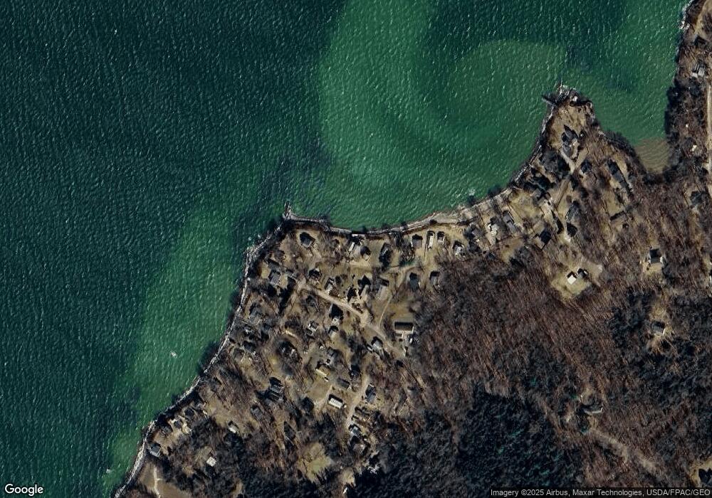
Map
Nearby Homes
- 1 Mallard Pond Rd
- 31 Goose Ledge Rd
- Lot 2B Allen Point Rd
- 18 Ash Point Rd
- 197 Ash Point Rd
- 30 Spritsail Ln
- 45 Little Island Rd Unit 45
- 0 Bayview Rd Unit 2 1632776
- 1951 Harpswell Island Rd
- 1984 Harpswell Island Rd
- 83 Central Ave
- 70 Maquoit Dr
- 71 Merganser Way
- lot C Long Point Rd
- Map 80 Lot 18-0 White Island
- 30 Driftwood Tide Ln
- 19 Hugh Ave
- 42 Ridgeview Ln
- 25 Bernier Ln
- Lot 2 Buxhill Blvd
- 9 Cove Side Dr
- 13 Cove Side Dr
- 7 Cove Side Dr
- 15 Cove Side Dr
- 14 Cove Side Dr
- 116 Edgewater Colony Rd
- 5 Cove Side Dr
- 16 Cove Side Dr
- 8 Cove Side Dr
- 19 Cove Side Dr
- 20 Cove Side Dr
- 52 Edgewater Colony Rd
- 1 Deep Water Run
- 1 Teal Rd
- 21 Cove Side Dr
- 3 Cove Side Dr
- 0 Harbor Seal Rd Unit 1293310
- 1 Cove Side Dr
- 24 Cove Side Dr
- 23 Cove Side Dr
Your Personal Tour Guide
Ask me questions while you tour the home.