11 Cunningham Rd Freeport, ME 04032
Estimated Value: $1,460,000 - $2,049,775
About This Home
This home is located at 11 Cunningham Rd, Freeport, ME 04032 and is currently estimated at $1,845,444, approximately $413 per square foot. 11 Cunningham Rd is a home located in Cumberland County with nearby schools including Morse Street School, Mast Landing School, and Freeport Middle School.
Ownership History
We collect this data history from publicly available records. To have your information removed, we recommend requesting removal directly through your county’s website.
Purchase Details
Home Financials for this Owner
Home Financials are based on the most recent Mortgage that was taken out on this home.Home Values in the Area
Average Home Value in this Area
Purchase History
We collect this data history from publicly available records. To have your information removed, we recommend requesting removal directly through your county’s website.
| Date | Buyer | Sale Price | Title Company |
|---|---|---|---|
| -- | -- |
Mortgage History
We collect this data history from publicly available records. To have your information removed, we recommend requesting removal directly through your county’s website.
| Date | Status | Borrower | Loan Amount |
|---|---|---|---|
| Open | $975,000 | ||
| Previous Owner | $610,000 | ||
| Previous Owner | $256,000 |
Tax History
We collect this data history from publicly available records. To have your information removed, we recommend requesting removal directly through your county’s website.
| Year | Tax Paid | Tax Assessment Tax Assessment Total Assessment is a certain percentage of the fair market value that is determined by local assessors to be the total taxable value of land and additions on the property. | Land | Improvement |
|---|---|---|---|---|
| 2025 | $19,981 | $1,442,700 | $679,400 | $763,300 |
| 2024 | $18,828 | $1,410,300 | $647,000 | $763,300 |
| 2023 | $17,271 | $1,256,100 | $587,500 | $668,600 |
| 2022 | $16,379 | $1,199,900 | $525,300 | $674,600 |
| 2021 | $16,019 | $1,199,900 | $525,300 | $674,600 |
| 2020 | $15,504 | $1,107,400 | $486,500 | $620,900 |
| 2019 | $14,921 | $1,043,400 | $458,900 | $584,500 |
| 2018 | $14,540 | $966,100 | $419,500 | $546,600 |
| 2017 | $13,591 | $909,100 | $387,700 | $521,400 |
| 2016 | $13,112 | $829,900 | $352,200 | $477,700 |
| 2015 | $13,112 | $780,500 | $326,200 | $454,300 |
| 2014 | $12,332 | $780,500 | $326,200 | $454,300 |
| 2013 | $11,758 | $741,800 | $301,700 | $440,100 |
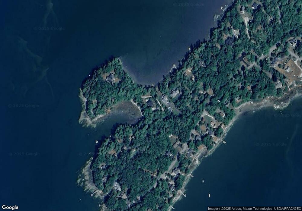
Map
- 10 Chickadee Ln
- 10 & 0 Chickadee Ln
- 245 Lower Flying Point Rd
- 70 Maquoit Dr
- 86 Maquoit Dr
- 675 Wolfe's Neck Rd
- 38 Kings Timber Way
- 15 Cushing Briggs Rd
- 83 Central Ave
- 10 Arrowhead Ridge Rd
- 67 S Freeport Rd
- 4 Piebald Point Ridge
- 37 Webb Field Rd
- 39 Birch Island S St
- 12 Starboard Ln
- Lot #079 Eastern Shore Rd
- 19_8_1B Flying Point Rd
- 19_8_1A Flying Point Rd
- 56 Bow St
- 15 South St
- 8 Cunningham Rd
- 28 Cunningham Rd
- 362 Lower Flying Point Rd
- 23 Cunningham Rd
- 32 Cunningham Rd
- 360 Lower Flying Point Rd
- 24 Cunningham Rd
- 374 Lower Flying Point Rd
- 34 Cunningham Rd
- 369 L Flying Pnt Rd
- 352 Lower Flying Point Rd
- 25 Cunningham Rd
- 365 Lower Flying Point Rd
- 369 Lower Flying Point Rd
- 348 Lower Flying Point Rd
- 363 Lower Flying Point Rd
- 40 Cunningham Rd
- 359 Lower Flying Point Rd
- 361 Lower Flying Point Rd
- 373 Lower Flying Point Rd
Ask me questions while you tour the home.