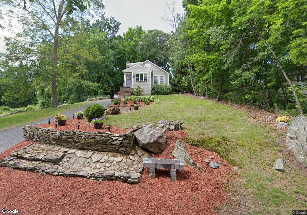
11 Durham Rd Millbury, MA 01527
Estimated Value: $369,000 - $486,000
3
Beds
2
Baths
1,582
Sq Ft
$276/Sq Ft
Est. Value
About This Home
This home is located at 11 Durham Rd, Millbury, MA 01527 and is currently estimated at $436,323, approximately $275 per square foot. 11 Durham Rd is a home located in Worcester County with nearby schools including Elmwood Street Elementary School, Raymond E. Shaw Elementary School, and Millbury Junior/Senior High School.
Ownership History
Date
Name
Owned For
Owner Type
Purchase Details
Closed on
Apr 30, 2001
Sold by
Soderman Lawrence and Soderman Doris E
Bought by
Brigham George J and Dambra Julie A
Current Estimated Value
Purchase Details
Closed on
Jul 30, 1999
Sold by
Morley John J and Shaw-Morley Nancy
Bought by
Soderman Lawrence and Soderman Doris E
Purchase Details
Closed on
Sep 14, 1998
Sold by
Laino John and White Susan
Bought by
Morley John and Morley Nancy S
Create a Home Valuation Report for This Property
The Home Valuation Report is an in-depth analysis detailing your home's value as well as a comparison with similar homes in the area
Home Values in the Area
Average Home Value in this Area
Purchase History
| Date | Buyer | Sale Price | Title Company |
|---|---|---|---|
| Brigham George J | $153,000 | -- | |
| Brigham George J | $153,000 | -- | |
| Soderman Lawrence | $45,000 | -- | |
| Soderman Lawrence | $45,000 | -- | |
| Morley John | $40,000 | -- | |
| Morley John | $40,000 | -- |
Source: Public Records
Mortgage History
| Date | Status | Borrower | Loan Amount |
|---|---|---|---|
| Open | Morley John | $143,879 | |
| Closed | Morley John | $142,000 |
Source: Public Records
Tax History
| Year | Tax Paid | Tax Assessment Tax Assessment Total Assessment is a certain percentage of the fair market value that is determined by local assessors to be the total taxable value of land and additions on the property. | Land | Improvement |
|---|---|---|---|---|
| 2025 | $4,952 | $369,800 | $104,200 | $265,600 |
| 2024 | $4,546 | $343,600 | $96,500 | $247,100 |
| 2023 | $4,128 | $285,700 | $67,600 | $218,100 |
| 2022 | $3,927 | $261,800 | $67,600 | $194,200 |
| 2021 | $3,918 | $253,900 | $67,600 | $186,300 |
| 2020 | $3,721 | $242,700 | $67,600 | $175,100 |
| 2019 | $3,956 | $249,600 | $61,500 | $188,100 |
| 2018 | $3,516 | $215,200 | $61,500 | $153,700 |
| 2017 | $3,348 | $203,800 | $61,500 | $142,300 |
| 2016 | $3,203 | $194,600 | $61,500 | $133,100 |
| 2015 | $3,167 | $192,400 | $65,400 | $127,000 |
| 2014 | $2,922 | $170,900 | $65,400 | $105,500 |
Source: Public Records
Map
Nearby Homes
- 23 Upton St
- 10 Epping St
- 10 Oak Pond Ave
- 2 Wilson Rd Unit B
- 2 Wingfoot Ln
- 10 Logan's Run Unit 10
- 4 Amaryllis Dr
- 33 Marcius Rd
- 19 Marion Ave
- 11 Park Hill Rd
- 7 Miscoe Rd
- 32 Dolly Dr
- 93 Oakwood Ln
- 1260 Grafton St
- 31 Blithewood Ave Unit 701
- 31 Blithewood Ave Unit 1201
- 22 Wildwood Rd
- 0 Worcester Providence Turnpike
- 16 Flint Pond Rd
- 37 Dane Ave
Your Personal Tour Guide
Ask me questions while you tour the home.