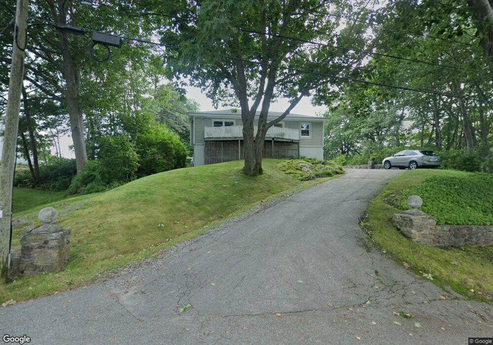
11 Elizabeth Rd Biddeford, ME 04005
Fortunes Rocks NeighborhoodEstimated Value: $987,000 - $1,384,000
About This Home
This home is located at 11 Elizabeth Rd, Biddeford, ME 04005 and is currently estimated at $1,111,194, approximately $683 per square foot. 11 Elizabeth Rd is a home located in York County with nearby schools including John F Kennedy Memorial School, Biddeford Primary School, and Biddeford Intermediate School.
Ownership History
We collect this data history from publicly available records. To have your information removed, we recommend requesting removal directly through your county’s website.
Purchase Details
Home Financials for this Owner
Home Financials are based on the most recent Mortgage that was taken out on this home.Purchase Details
Home Values in the Area
Average Home Value in this Area
Purchase History
We collect this data history from publicly available records. To have your information removed, we recommend requesting removal directly through your county’s website.
| Date | Buyer | Sale Price | Title Company |
|---|---|---|---|
| -- | -- | ||
| -- | -- |
Mortgage History
We collect this data history from publicly available records. To have your information removed, we recommend requesting removal directly through your county’s website.
| Date | Status | Borrower | Loan Amount |
|---|---|---|---|
| Closed | $192,850 |
Tax History
We collect this data history from publicly available records. To have your information removed, we recommend requesting removal directly through your county’s website.
| Year | Tax Paid | Tax Assessment Tax Assessment Total Assessment is a certain percentage of the fair market value that is determined by local assessors to be the total taxable value of land and additions on the property. | Land | Improvement |
|---|---|---|---|---|
| 2025 | $12,254 | $820,200 | $587,200 | $233,000 |
| 2024 | $11,601 | $815,800 | $587,200 | $228,600 |
| 2023 | $10,660 | $812,500 | $583,900 | $228,600 |
| 2022 | $10,051 | $612,500 | $416,600 | $195,900 |
| 2021 | $9,560 | $524,400 | $356,500 | $167,900 |
| 2020 | $10,065 | $502,000 | $347,300 | $154,700 |
| 2019 | $10,030 | $502,000 | $347,300 | $154,700 |
| 2018 | $9,889 | $502,000 | $347,300 | $154,700 |
| 2017 | $9,678 | $482,200 | $347,300 | $134,900 |
| 2016 | $9,576 | $482,200 | $347,300 | $134,900 |
| 2015 | $9,194 | $482,200 | $347,300 | $134,900 |
| 2014 | $8,967 | $482,200 | $347,300 | $134,900 |
| 2013 | -- | $552,000 | $406,400 | $145,600 |
Map
- 13 Burnie Way
- 129 Fortunes Rocks Rd
- TBD Peter Pond Ln
- 2 Seal Ln
- Lot 6 Longboard Ln
- Lot 7 Longboard Ln
- Lot 3 Longboard Ln
- Lot 2 Longboard Ln
- Lot 1 Longboard Ln
- 24 Maddox Pond Rd
- 37 Fortunes Rocks Rd
- 700 Pool St
- 3 Scadlock Mill Rd
- 17 Scadlock Mill Rd
- 88-90 Old Pool Rd
- 99 Mile Stretch Rd
- 8 Days Landing
- 71 Old Pool Rd
- 66 Old Pool Rd
- 4 Leeward Meadows
- 7 Elizabeth Rd
- 5 Elizabeth Rd
- 6 Lily Pond Ave
- 9 Elizabeth Rd
- 8 Lily Pond Ave
- 100 Fortunes Rocks Rd
- 108 Fortunes Rocks Rd
- 102 Fortunes Rocks Rd
- 3 Lily Pond Ave
- 6 Elizabeth Rd
- 10 Elizabeth Rd
- 116 Fortunes Rocks Rd
- 98 Fortunes Rocks Rd
- 118 Fortunes Rocks Rd
- 10 Lily Pond Ave
- 96 Fortunes Rocks Rd
- 12 Elizabeth Rd
- 20 Lily Pond Ave
- 94 Fortunes Rocks Rd
- 99 Fortunes Rocks Rd Unit 101
Ask me questions while you tour the home.