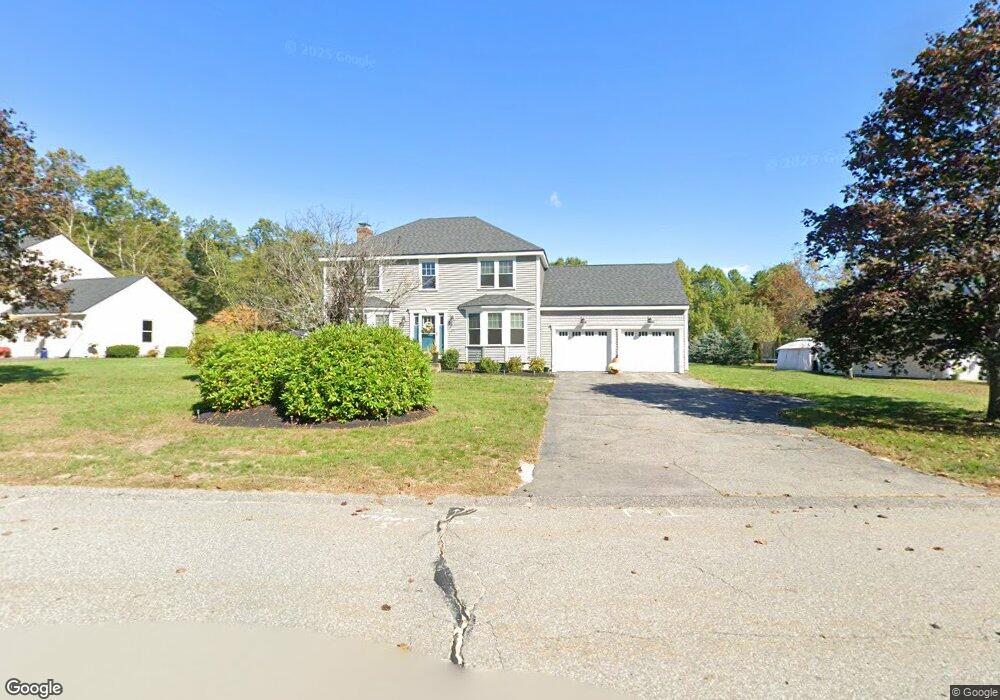
11 Fox Run Dr Clinton, MA 01510
Estimated Value: $605,252 - $671,000
About This Home
This home is located at 11 Fox Run Dr, Clinton, MA 01510 and is currently estimated at $649,813, approximately $337 per square foot. 11 Fox Run Dr is a home located in Worcester County with nearby schools including Clinton Elementary School, Clinton Senior High School, and Clinton Middle School.
Ownership History
We collect this data history from publicly available records. To have your information removed, we recommend requesting removal directly through your county’s website.
Purchase Details
Purchase Details
Home Financials for this Owner
Home Financials are based on the most recent Mortgage that was taken out on this home.Home Values in the Area
Average Home Value in this Area
Purchase History
We collect this data history from publicly available records. To have your information removed, we recommend requesting removal directly through your county’s website.
| Date | Buyer | Sale Price | Title Company |
|---|---|---|---|
| -- | None Available | ||
| $184,900 | -- |
Mortgage History
We collect this data history from publicly available records. To have your information removed, we recommend requesting removal directly through your county’s website.
| Date | Status | Borrower | Loan Amount |
|---|---|---|---|
| Previous Owner | $190,000 | ||
| Previous Owner | $157,000 | ||
| Previous Owner | $161,000 | ||
| Previous Owner | $170,000 |
Tax History
We collect this data history from publicly available records. To have your information removed, we recommend requesting removal directly through your county’s website.
| Year | Tax Paid | Tax Assessment Tax Assessment Total Assessment is a certain percentage of the fair market value that is determined by local assessors to be the total taxable value of land and additions on the property. | Land | Improvement |
|---|---|---|---|---|
| 2025 | $7,062 | $531,000 | $157,800 | $373,200 |
| 2024 | $6,918 | $526,500 | $157,800 | $368,700 |
| 2023 | $6,484 | $485,000 | $143,400 | $341,600 |
| 2022 | $6,362 | $426,700 | $130,400 | $296,300 |
| 2021 | $5,974 | $374,800 | $124,300 | $250,500 |
| 2020 | $5,806 | $374,800 | $124,300 | $250,500 |
| 2019 | $5,800 | $364,100 | $120,600 | $243,500 |
| 2018 | $5,785 | $340,700 | $120,600 | $220,100 |
| 2017 | $5,741 | $324,900 | $120,600 | $204,300 |
| 2016 | $5,692 | $329,600 | $120,600 | $209,000 |
| 2015 | $5,248 | $315,000 | $125,100 | $189,900 |
| 2014 | $5,087 | $315,000 | $125,100 | $189,900 |
Map
- 53 Lancaster Rd Unit 5
- 610 Ridgefield Cir Unit D
- 600 Ridgefield Cir Unit A
- 10 Horseshoe Ln
- 909 Ridgefield Cir Unit 909C
- 402 Ridgefield Cir Unit D
- 31 Mount View Dr
- 502 Ridgefield Cir Unit A
- 11 Eileen Ave
- 19 Brendan Rd
- 22 Harris St
- 5 Nathan Dr
- 11 Cromie St
- 251 High Street Extension
- 305 High Street Extension
- 105 Beech St
- 178 Cedar St
- 9 Hamilton St
- 508 High St
- 520 High St Unit 7
Ask me questions while you tour the home.